113 Bolt Hill Rd Eliot, ME 03903
South Eliot NeighborhoodEstimated Value: $524,000 - $734,000
3
Beds
3
Baths
1,632
Sq Ft
$387/Sq Ft
Est. Value
About This Home
This home is located at 113 Bolt Hill Rd, Eliot, ME 03903 and is currently estimated at $631,740, approximately $387 per square foot. 113 Bolt Hill Rd is a home located in York County with nearby schools including Marshwood High School.
Ownership History
Date
Name
Owned For
Owner Type
Purchase Details
Closed on
Jul 21, 2015
Sold by
S & L Rt
Bought by
Holt Timothy S and Holt Corinna M
Current Estimated Value
Home Financials for this Owner
Home Financials are based on the most recent Mortgage that was taken out on this home.
Original Mortgage
$222,700
Outstanding Balance
$172,796
Interest Rate
3.88%
Mortgage Type
New Conventional
Estimated Equity
$458,944
Purchase Details
Closed on
Nov 28, 2005
Sold by
Simmons David E and Simmons Susan W
Bought by
Schlieper Bruce N and Kent Daryl T
Home Financials for this Owner
Home Financials are based on the most recent Mortgage that was taken out on this home.
Original Mortgage
$195,000
Interest Rate
6.06%
Mortgage Type
Purchase Money Mortgage
Create a Home Valuation Report for This Property
The Home Valuation Report is an in-depth analysis detailing your home's value as well as a comparison with similar homes in the area
Home Values in the Area
Average Home Value in this Area
Purchase History
| Date | Buyer | Sale Price | Title Company |
|---|---|---|---|
| Holt Timothy S | -- | -- | |
| Schlieper Bruce N | -- | -- |
Source: Public Records
Mortgage History
| Date | Status | Borrower | Loan Amount |
|---|---|---|---|
| Open | Holt Timothy S | $222,700 | |
| Previous Owner | Schlieper Bruce N | $195,000 |
Source: Public Records
Tax History Compared to Growth
Tax History
| Year | Tax Paid | Tax Assessment Tax Assessment Total Assessment is a certain percentage of the fair market value that is determined by local assessors to be the total taxable value of land and additions on the property. | Land | Improvement |
|---|---|---|---|---|
| 2024 | $3,778 | $318,800 | $148,800 | $170,000 |
| 2023 | $3,670 | $299,600 | $141,400 | $158,200 |
| 2022 | $3,554 | $293,700 | $141,400 | $152,300 |
| 2021 | $3,451 | $255,600 | $107,600 | $148,000 |
| 2020 | $562 | $242,200 | $102,500 | $139,700 |
| 2019 | $3,161 | $215,000 | $102,500 | $112,500 |
| 2018 | $3,161 | $215,000 | $102,500 | $112,500 |
| 2017 | $671 | $215,000 | $102,500 | $112,500 |
| 2016 | $647 | $215,000 | $102,500 | $112,500 |
| 2015 | $3,010 | $215,000 | $102,500 | $112,500 |
| 2014 | $3,032 | $219,700 | $102,500 | $117,200 |
| 2013 | $2,893 | $219,700 | $102,500 | $117,200 |
Source: Public Records
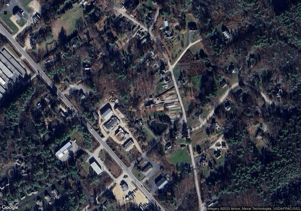
Map
Nearby Homes
- 493 Main St
- 18 Shipping Ln
- 35 Leach Rd
- 850 Main St
- 956 Main St
- 8 Caslyn Dr
- 0 Franks Fort Island Unit 1631886
- 124 Spinnaker Way
- 5 Spinney Way Unit 9
- 3 Shearwater Dr Unit 1900
- 19 Shearwater Dr Unit 1903
- 15 Shearwater Dr Unit 1902
- 37 Shearwater Dr Unit 1906
- 201 Kearsarge Way
- 14 Birch St
- 25 Oak Terrace
- 1338 Woodbury Ave Unit 10
- 27 Oak Terrace
- 171 Echo Ave
- 20 Mendum Ave
- 51 Bolt Hill
- 114 Bolt Hill Rd
- 118 Bolt Hill Rd
- 3 Bolt Hill Rd
- 105 Bolt Hill Rd
- 98 Main St
- LOT B Main St
- LOT C Main St
- 0 Bolt Hill Rd Unit 4324763
- 0 Bolt Hill Rd
- 0 Bolt Hill Rd Unit 993448
- 0 Bolt Hill Rd Unit 993554
- 0 Bolt Hill Rd Unit 1038100
- 0 Bolt Hill Rd Unit 1115877
- 0 Bolt Hill Rd Unit 1115876
- 0 Bolt Hill Rd Unit 1115869
- 0 Bolt Hill Rd Unit 1511271
- 128 Bolt Hill Rd
- 129 Bolt Hill Rd
- 662 Main St