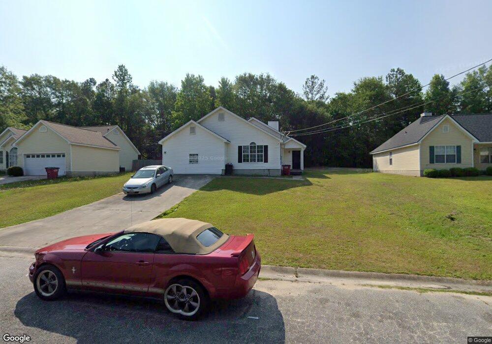
113 Bradstone Cir Macon, GA 31217
Estimated Value: $133,000 - $150,000
3
Beds
2
Baths
1,298
Sq Ft
$109/Sq Ft
Est. Value
About This Home
This home is located at 113 Bradstone Cir, Macon, GA 31217 and is currently estimated at $142,103, approximately $109 per square foot. 113 Bradstone Cir is a home located in Bibb County with nearby schools including Martin Luther King Jr. Elementary School, Appling Middle School, and Northeast High School.
Ownership History
Date
Name
Owned For
Owner Type
Purchase Details
Closed on
Mar 22, 2010
Sold by
Anthony John
Bought by
Anthony & Anthony Inc
Current Estimated Value
Purchase Details
Closed on
Apr 26, 2007
Sold by
Hsbc Bank Usa
Bought by
Anthony John
Purchase Details
Closed on
Jan 2, 2007
Purchase Details
Closed on
Apr 23, 2004
Purchase Details
Closed on
Aug 5, 2003
Purchase Details
Closed on
Apr 25, 2002
Create a Home Valuation Report for This Property
The Home Valuation Report is an in-depth analysis detailing your home's value as well as a comparison with similar homes in the area
Purchase History
| Date | Buyer | Sale Price | Title Company |
|---|---|---|---|
| Anthony & Anthony Inc | -- | None Available | |
| Anthony John | $88,000 | None Available | |
| -- | $93,100 | -- | |
| Hsbc Bank Usa | $93,130 | None Available | |
| -- | $76,900 | -- | |
| -- | $79,700 | -- | |
| -- | $97,000 | -- |
Source: Public Records
Tax History
| Year | Tax Paid | Tax Assessment Tax Assessment Total Assessment is a certain percentage of the fair market value that is determined by local assessors to be the total taxable value of land and additions on the property. | Land | Improvement |
|---|---|---|---|---|
| 2025 | $1,092 | $44,446 | $5,200 | $39,246 |
| 2024 | $1,129 | $44,446 | $5,200 | $39,246 |
| 2023 | $1,129 | $44,446 | $5,200 | $39,246 |
| 2022 | $1,521 | $43,946 | $4,680 | $39,266 |
| 2021 | $1,132 | $29,778 | $3,600 | $26,178 |
| 2020 | $1,156 | $29,778 | $3,600 | $26,178 |
| 2019 | $1,166 | $29,778 | $3,600 | $26,178 |
| 2018 | $1,965 | $29,778 | $3,600 | $26,178 |
| 2017 | $1,116 | $29,778 | $3,600 | $26,178 |
| 2016 | $1,307 | $37,784 | $5,832 | $31,952 |
| 2015 | $1,850 | $37,784 | $5,832 | $31,952 |
| 2014 | $2,128 | $37,784 | $5,832 | $31,952 |
Source: Public Records
Map
Nearby Homes
- 896 Roseview Dr
- 2229 New Clinton Rd
- 2066 Melton Ave
- 2161 Melton Ave
- 2146 Melton Ave
- 1840 Kinder Kare Dr
- 875 Artic Cir
- 1977 Thomas Dr
- 837 Artic Cir
- 4436 Jeffersonville Rd
- 875 Artic Place
- 860 Morningside Dr
- 964 Irving Dr
- 2675 Andy Dr
- 909 Johnson St
- 2333 Shurling Dr
- 2720 Jordan Ave
- 1980 Bayswater Rd
- 1008 Sunnydale Dr
- 2418 Tredway Dr
- 109 Bradstone Cir
- 119 Bradstone Cir
- 105 Bradstone Cir
- 131 Bradstone Cir
- 312 Bradstone Ct
- 108 Bradstone Cir
- 235 Bradstone Cir
- 151 Bradstone Cir
- 151 Bradstone Cir Unit 40
- 242 Bradstone Cir
- 308 Bradstone Ct
- 157 Bradstone Cir
- 229 Bradstone Cir
- 163 Bradstone Cir
- 225 Bradstone Cir
- 238 Bradstone Cir
- 304 Bradstone Ct
- 234 Bradstone Cir
- 152 Bradstone Cir
- 221 Bradstone Cir
Your Personal Tour Guide
Ask me questions while you tour the home.