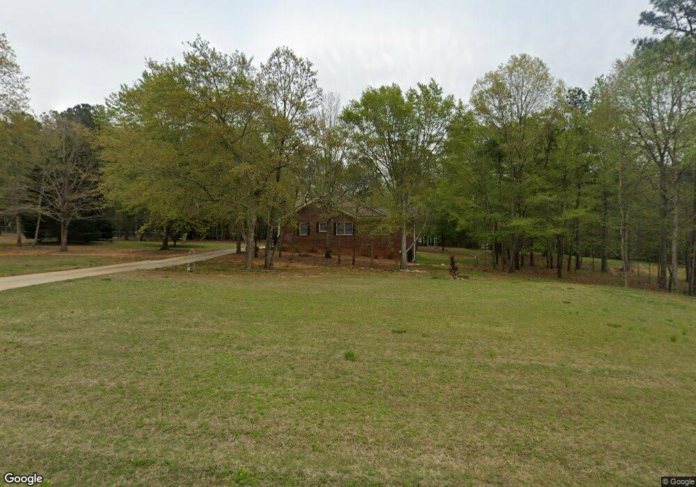
113 Case Dr Locust Grove, GA 30248
Estimated Value: $312,629 - $346,000
4
Beds
3
Baths
2,828
Sq Ft
$118/Sq Ft
Est. Value
About This Home
This home is located at 113 Case Dr, Locust Grove, GA 30248 and is currently estimated at $334,907, approximately $118 per square foot. 113 Case Dr is a home located in Henry County with nearby schools including Tussahaw Elementary School, Locust Grove Middle School, and Locust Grove High School.
Ownership History
Date
Name
Owned For
Owner Type
Purchase Details
Closed on
Mar 17, 2017
Sold by
K
Bought by
Duffey Steve L and Duffey Treva B
Current Estimated Value
Purchase Details
Closed on
Oct 7, 2016
Sold by
Prism Property Group Llc
Bought by
K & M Homes Inc
Home Financials for this Owner
Home Financials are based on the most recent Mortgage that was taken out on this home.
Original Mortgage
$88,680
Interest Rate
3.44%
Mortgage Type
New Conventional
Purchase Details
Closed on
Dec 3, 2013
Sold by
White Oak Land Developme
Bought by
State Bank And Trust Co
Create a Home Valuation Report for This Property
The Home Valuation Report is an in-depth analysis detailing your home's value as well as a comparison with similar homes in the area
Home Values in the Area
Average Home Value in this Area
Purchase History
| Date | Buyer | Sale Price | Title Company |
|---|---|---|---|
| Duffey Steve L | $188,000 | -- | |
| K & M Homes Inc | -- | -- | |
| State Bank And Trust Co | $155,400 | -- |
Source: Public Records
Mortgage History
| Date | Status | Borrower | Loan Amount |
|---|---|---|---|
| Previous Owner | K & M Homes Inc | $88,680 |
Source: Public Records
Tax History Compared to Growth
Tax History
| Year | Tax Paid | Tax Assessment Tax Assessment Total Assessment is a certain percentage of the fair market value that is determined by local assessors to be the total taxable value of land and additions on the property. | Land | Improvement |
|---|---|---|---|---|
| 2025 | $1,217 | $169,200 | $24,000 | $145,200 |
| 2024 | $1,217 | $134,080 | $24,000 | $110,080 |
| 2023 | $885 | $124,800 | $17,000 | $107,800 |
| 2022 | $1,030 | $118,680 | $17,000 | $101,680 |
| 2021 | $1,030 | $91,000 | $17,000 | $74,000 |
| 2020 | $1,178 | $86,280 | $14,600 | $71,680 |
| 2019 | $1,030 | $79,960 | $14,600 | $65,360 |
| 2018 | $978 | $73,840 | $14,600 | $59,240 |
| 2016 | $657 | $16,080 | $6,400 | $9,680 |
| 2015 | -- | $50,040 | $8,000 | $42,040 |
| 2014 | $1,910 | $46,720 | $8,000 | $38,720 |
Source: Public Records
Map
Nearby Homes
- 121, 125, 129 Case Dr
- 281 Laney Dr
- 995 Old Jackson Rd
- 1126 Old Jackson Rd
- 100 Harbin Trail
- 215 Laney Rd
- 767 Old Jackson Rd
- 143 Kimbell Farm Dr
- 705 S Bethany Rd
- 125 Laney Ct
- 175 Laney Ct Unit 1
- 125 Karen Dr
- 218 Baxter Ln
- 521 Deadwood Trail
- 225 Laney Ct
- 601 Amerigo Ct
- 151 River Park Cir
- 461 Old Jackson Rd
- 1000 Coan Dr
- S S Laney Rd
- 117 Case Dr
- 109 Case Dr
- 0 Case Dr Unit 8265813
- 0 Case Dr Unit 8352308
- 110 Cherokee Place
- 114 Case Dr
- 100 Cherokee Place
- 108 Case Dr
- 105 Case Dr
- 115 Cherokee Place
- 118 Case Dr Unit 16
- 118 Case Dr
- 240 Laney Dr
- 101 Case Dr Unit 1
- 980 Old Jackson Rd
- 990 Old Jackson Rd
- 126 Case Dr
- 111 Cherokee Place
- 98 Cherokee Place
- 241 Laney Dr