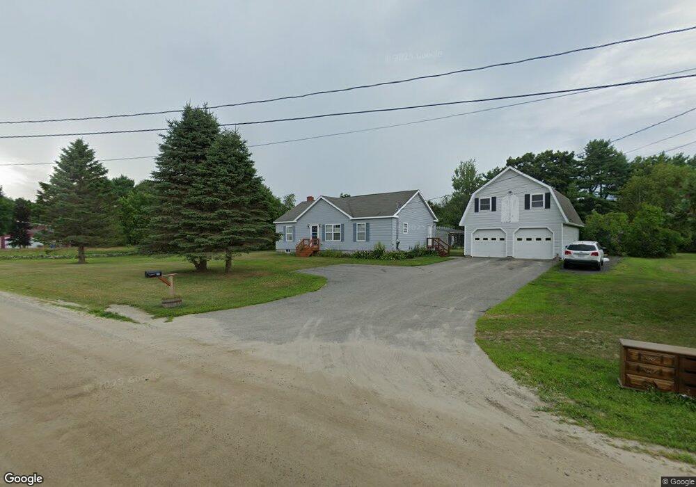
113 Cemetery Rd Monmouth, ME 04259
Estimated Value: $350,000 - $369,000
3
Beds
2
Baths
1,296
Sq Ft
$277/Sq Ft
Est. Value
About This Home
This home is located at 113 Cemetery Rd, Monmouth, ME 04259 and is currently estimated at $359,308, approximately $277 per square foot. 113 Cemetery Rd is a home located in Kennebec County with nearby schools including Hall-Dale Elementary School, Marcia Buker School, and Dresden Elementary School.
Ownership History
Date
Name
Owned For
Owner Type
Purchase Details
Closed on
Nov 15, 2011
Sold by
Choate Cynthia L
Bought by
Acrey Stephanie L
Current Estimated Value
Home Financials for this Owner
Home Financials are based on the most recent Mortgage that was taken out on this home.
Original Mortgage
$107,211
Interest Rate
4.4%
Mortgage Type
FHA
Purchase Details
Closed on
Aug 22, 2005
Sold by
Brown Floyd L
Bought by
Choate Cynthia L and Brown Floyd L
Create a Home Valuation Report for This Property
The Home Valuation Report is an in-depth analysis detailing your home's value as well as a comparison with similar homes in the area
Home Values in the Area
Average Home Value in this Area
Purchase History
| Date | Buyer | Sale Price | Title Company |
|---|---|---|---|
| Acrey Stephanie L | -- | -- | |
| Choate Cynthia L | -- | -- |
Source: Public Records
Mortgage History
| Date | Status | Borrower | Loan Amount |
|---|---|---|---|
| Closed | Acrey Stephanie L | $107,211 |
Source: Public Records
Tax History Compared to Growth
Tax History
| Year | Tax Paid | Tax Assessment Tax Assessment Total Assessment is a certain percentage of the fair market value that is determined by local assessors to be the total taxable value of land and additions on the property. | Land | Improvement |
|---|---|---|---|---|
| 2024 | $4,160 | $203,400 | $37,000 | $166,400 |
| 2023 | $3,682 | $203,400 | $37,000 | $166,400 |
| 2022 | $3,450 | $176,900 | $32,200 | $144,700 |
| 2021 | $3,326 | $176,900 | $32,200 | $144,700 |
| 2020 | $3,211 | $176,900 | $32,200 | $144,700 |
| 2018 | $3,105 | $176,900 | $32,200 | $144,700 |
| 2017 | $3,105 | $176,900 | $32,200 | $144,700 |
| 2016 | $3,197 | $193,200 | $32,000 | $161,200 |
| 2015 | $3,014 | $193,200 | $32,000 | $161,200 |
| 2013 | $2,913 | $200,200 | $32,000 | $168,200 |
Source: Public Records
Map
Nearby Homes
- 11 Oak Hill Rd
- 73 Oak Hill Rd
- 18 Gray Mill Rd
- 723 Main St
- 745 Main St
- 16 Maple Ridge Dr
- 42 Chipmunk
- 46 Chipmunk Ln
- 244 Buker Rd
- 34 Gerber Ln
- 33-34 Gerber Ln
- 33 Gerber Ln
- 664 Gardiner Rd
- 119 Grant Rd
- 171 Grant Rd
- 75 Grant Rd
- 1809 Lewiston Rd
- 18 Lintonia Dr Unit 17
- 7 Lintonia Dr Unit 7
- M-4 L 43-D Oak Hill Rd