113 Christopher Rd North Yarmouth, ME 04097
Estimated Value: $790,000 - $992,000
3
Beds
4
Baths
3,167
Sq Ft
$275/Sq Ft
Est. Value
About This Home
This home is located at 113 Christopher Rd, North Yarmouth, ME 04097 and is currently estimated at $869,861, approximately $274 per square foot. 113 Christopher Rd is a home with nearby schools including Mabel I. Wilson School, Greely Middle School 4-5, and Greely Middle School.
Ownership History
Date
Name
Owned For
Owner Type
Purchase Details
Closed on
Oct 17, 2012
Sold by
Walbridge Stephen R and Walbridge Linda L
Bought by
Lanik Kenneth E and Lindstrom Kristin M
Current Estimated Value
Home Financials for this Owner
Home Financials are based on the most recent Mortgage that was taken out on this home.
Original Mortgage
$296,000
Outstanding Balance
$205,549
Interest Rate
3.57%
Mortgage Type
New Conventional
Estimated Equity
$664,312
Create a Home Valuation Report for This Property
The Home Valuation Report is an in-depth analysis detailing your home's value as well as a comparison with similar homes in the area
Home Values in the Area
Average Home Value in this Area
Purchase History
| Date | Buyer | Sale Price | Title Company |
|---|---|---|---|
| Lanik Kenneth E | -- | -- |
Source: Public Records
Mortgage History
| Date | Status | Borrower | Loan Amount |
|---|---|---|---|
| Open | Lanik Kenneth E | $296,000 |
Source: Public Records
Tax History Compared to Growth
Tax History
| Year | Tax Paid | Tax Assessment Tax Assessment Total Assessment is a certain percentage of the fair market value that is determined by local assessors to be the total taxable value of land and additions on the property. | Land | Improvement |
|---|---|---|---|---|
| 2024 | $9,215 | $465,400 | $98,400 | $367,000 |
| 2023 | $8,926 | $465,400 | $98,400 | $367,000 |
| 2022 | $8,424 | $465,400 | $98,400 | $367,000 |
| 2021 | $7,958 | $465,400 | $98,400 | $367,000 |
| 2020 | $7,702 | $465,400 | $98,400 | $367,000 |
| 2019 | $7,826 | $470,900 | $103,900 | $367,000 |
| 2018 | $7,850 | $470,900 | $103,900 | $367,000 |
| 2017 | $7,102 | $436,500 | $95,500 | $341,000 |
| 2016 | $6,970 | $395,600 | $88,300 | $307,300 |
| 2015 | $6,931 | $395,600 | $88,300 | $307,300 |
| 2014 | $6,785 | $395,600 | $88,300 | $307,300 |
| 2013 | $6,480 | $395,600 | $88,300 | $307,300 |
Source: Public Records
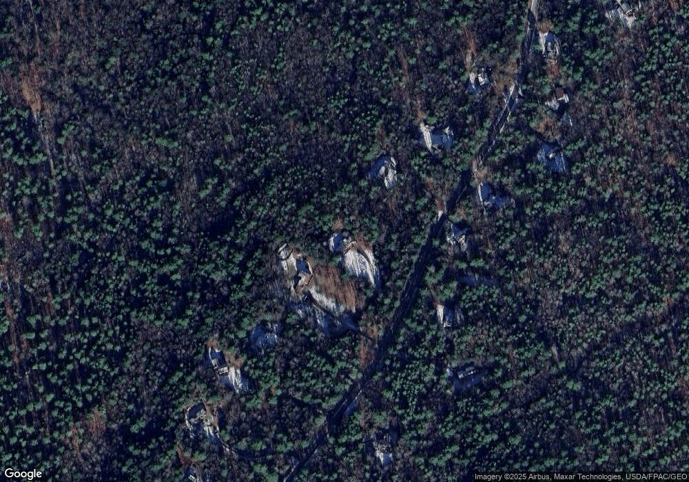
Map
Nearby Homes
- 79 Birchwood Terrace
- 0 New Gloucester Rd
- 36 Blackthorne Ln
- 1 Blackthorne Ln
- 395 New Gloucester Rd
- 38 Blackthorne Ln
- 026-01 Dow Ln
- 118 Lufkin Rd
- 108 Haskell Rd
- 10 Arlington Ct
- 5 Stillwater Dr
- 53 Ridgewood Ln
- 15 Woodcock Dr
- 37 Ridgewood Ln
- 14 Woodcock Dr
- 19 Woodcock Dr
- 53 Woodcock Dr
- 55 Woodcock Dr
- 61 Woodcock Dr
- 244 Allen Rd
- 123 Christopher Rd
- 95 Christopher Rd
- 98 Christopher Rd
- 129 Christopher Rd
- 83 Christopher Rd
- 110 Christopher Rd
- 90 Christopher Rd
- 122 Christopher Rd
- 141 Christopher Rd
- 140 Christopher Rd
- 73 Christopher Rd
- 80 Christopher Rd
- 145 Christopher Rd
- 76 Christopher Rd
- 70 Christopher Rd
- 157 Christopher Rd
- 59 Christopher Rd
- 158 Christopher Rd
- 56 Christopher Rd
- 48 Christopher Rd