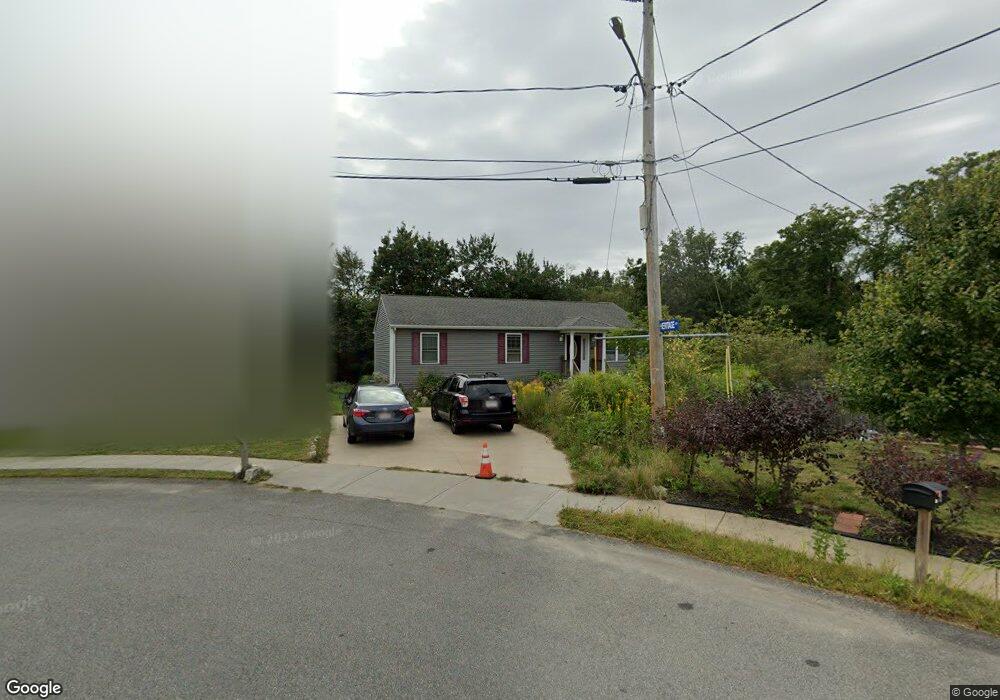
113 Commonwealth Ave Fall River, MA 02721
Maplewood NeighborhoodEstimated Value: $441,520 - $534,000
3
Beds
1
Bath
1,196
Sq Ft
$406/Sq Ft
Est. Value
About This Home
This home is located at 113 Commonwealth Ave, Fall River, MA 02721 and is currently estimated at $485,880, approximately $406 per square foot. 113 Commonwealth Ave is a home located in Bristol County with nearby schools including Henry Lord Community School, B M C Durfee High School, and Atlantis Charter School.
Ownership History
Date
Name
Owned For
Owner Type
Purchase Details
Closed on
May 20, 2011
Sold by
Family Homes Const Co
Bought by
Arruda Sabrina
Current Estimated Value
Home Financials for this Owner
Home Financials are based on the most recent Mortgage that was taken out on this home.
Original Mortgage
$213,750
Outstanding Balance
$148,546
Interest Rate
4.88%
Mortgage Type
Purchase Money Mortgage
Estimated Equity
$337,334
Create a Home Valuation Report for This Property
The Home Valuation Report is an in-depth analysis detailing your home's value as well as a comparison with similar homes in the area
Home Values in the Area
Average Home Value in this Area
Purchase History
| Date | Buyer | Sale Price | Title Company |
|---|---|---|---|
| Arruda Sabrina | $225,000 | -- | |
| Family Homes Const Co | -- | -- |
Source: Public Records
Mortgage History
| Date | Status | Borrower | Loan Amount |
|---|---|---|---|
| Open | Family Homes Const Co | $213,750 | |
| Previous Owner | Family Homes Const Co | $70,000 |
Source: Public Records
Tax History
| Year | Tax Paid | Tax Assessment Tax Assessment Total Assessment is a certain percentage of the fair market value that is determined by local assessors to be the total taxable value of land and additions on the property. | Land | Improvement |
|---|---|---|---|---|
| 2025 | $4,598 | $401,600 | $112,100 | $289,500 |
| 2024 | $4,274 | $372,000 | $107,800 | $264,200 |
| 2023 | $4,306 | $350,900 | $101,100 | $249,800 |
| 2022 | $3,811 | $302,000 | $101,100 | $200,900 |
| 2021 | $3,695 | $267,200 | $101,100 | $166,100 |
| 2020 | $3,599 | $249,100 | $100,900 | $148,200 |
| 2019 | $3,482 | $238,800 | $100,900 | $137,900 |
| 2018 | $3,370 | $230,500 | $100,900 | $129,600 |
| 2017 | $3,153 | $225,200 | $98,000 | $127,200 |
| 2016 | $2,978 | $218,500 | $98,000 | $120,500 |
| 2015 | $2,888 | $220,800 | $98,000 | $122,800 |
| 2014 | $2,778 | $220,800 | $98,000 | $122,800 |
Source: Public Records
Map
Nearby Homes
- 0 Stafford Rd Unit 1393774
- 0 Stafford Rd Unit 73431501
- 186 Spencer St
- 185 Stafford Rd
- 0 Sheldon St
- 93 Lawton St
- 21 Nightingale Ln
- 0 Hancock St
- 38 Hummingbird Ln
- 125 Carl St
- 18 Mockingbird Ln
- 0 Wood St
- 4 Bronson St
- 24 Bronson St
- 478 Tucker St
- 664 Norman St
- 17 Lynwood St
- 143 Meeson St
- 153 Fish Rd Unit 4
- 95 Hiatt St
- 103 Commonwealth Ave
- 9 Heritage Ct
- 93 Commonwealth Ave
- 19 Heritage Ct
- 16 Heritage Ct
- 83 Commonwealth Ave
- 29 Heritage Ct
- 26 Heritage Ct
- 73 Commonwealth Ave
- 84 Commonwealth Ave
- 36 Heritage Ct
- 39 Heritage Ct
- 74 Commonwealth Ave
- 63 Commonwealth Ave
- 46 Heritage Ct
- 49 Heritage Ct
- 53 Commonwealth Ave
- 62 Aquidneck Dr
- 43 Commonwealth Ave
- 52 Heritage Ct
Your Personal Tour Guide
Ask me questions while you tour the home.