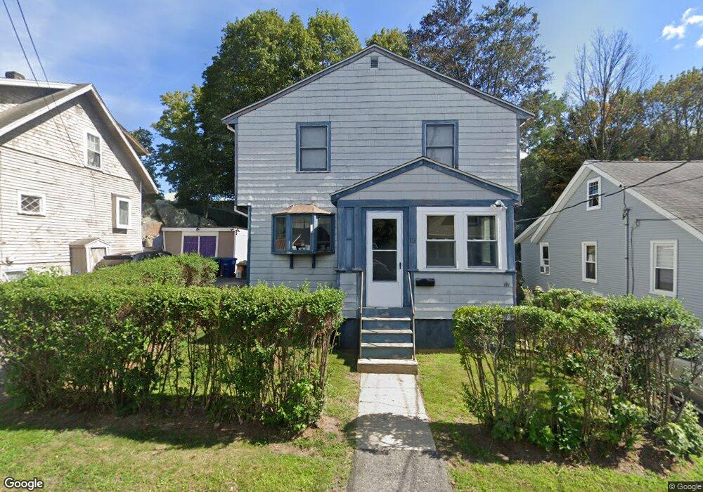
113 Cotton Ave Braintree, MA 02184
East Braintree NeighborhoodEstimated Value: $575,599 - $659,000
3
Beds
2
Baths
1,344
Sq Ft
$458/Sq Ft
Est. Value
About This Home
This home is located at 113 Cotton Ave, Braintree, MA 02184 and is currently estimated at $615,650, approximately $458 per square foot. 113 Cotton Ave is a home located in Norfolk County with nearby schools including Braintree High School, Sacred Heart Elementary School, and South Shore Christian Academy.
Ownership History
Date
Name
Owned For
Owner Type
Purchase Details
Closed on
May 18, 2018
Sold by
Nolan Paul J
Bought by
Paul J Nolan Ft
Current Estimated Value
Purchase Details
Closed on
Nov 17, 1977
Bought by
Nolan Paul J and Hall Shirley M
Create a Home Valuation Report for This Property
The Home Valuation Report is an in-depth analysis detailing your home's value as well as a comparison with similar homes in the area
Home Values in the Area
Average Home Value in this Area
Purchase History
| Date | Buyer | Sale Price | Title Company |
|---|---|---|---|
| Paul J Nolan Ft | -- | -- | |
| Nolan Paul J | -- | -- |
Source: Public Records
Mortgage History
| Date | Status | Borrower | Loan Amount |
|---|---|---|---|
| Previous Owner | Nolan Paul J | $98,000 | |
| Previous Owner | Nolan Paul J | $10,000 | |
| Previous Owner | Nolan Paul J | $87,500 |
Source: Public Records
Tax History Compared to Growth
Tax History
| Year | Tax Paid | Tax Assessment Tax Assessment Total Assessment is a certain percentage of the fair market value that is determined by local assessors to be the total taxable value of land and additions on the property. | Land | Improvement |
|---|---|---|---|---|
| 2025 | $5,196 | $520,600 | $307,000 | $213,600 |
| 2024 | $4,705 | $496,300 | $286,300 | $210,000 |
| 2023 | $4,449 | $455,800 | $257,200 | $198,600 |
| 2022 | $4,288 | $431,000 | $232,400 | $198,600 |
| 2021 | $3,951 | $397,100 | $209,900 | $187,200 |
| 2020 | $3,649 | $370,100 | $190,900 | $179,200 |
| 2019 | $3,527 | $349,600 | $182,600 | $167,000 |
| 2018 | $3,479 | $330,100 | $166,000 | $164,100 |
| 2017 | $3,355 | $312,400 | $157,700 | $154,700 |
| 2016 | $3,085 | $281,000 | $132,800 | $148,200 |
| 2015 | $3,033 | $274,000 | $131,100 | $142,900 |
| 2014 | $2,876 | $251,800 | $119,500 | $132,300 |
Source: Public Records
Map
Nearby Homes
- 67 Somerville Ave
- 64 Arborway Dr
- 83 Edgemont Rd
- 60 Edgehill Rd
- 312 Shaw St
- 9 Hillside Ave
- 141 Hobart St
- 141 Commercial St Unit 9
- 145 Commercial St Unit 3
- 14 Howard Ct
- 294 Commercial St
- 37 Skyline Dr Unit 11
- 39 Dobson Rd
- 31 Tingley Rd
- 21 Faxon St
- 36 Brookside Rd
- 69 Dobson Rd
- 51 Faxon St
- 685 Union St
- 25 W Howard St Unit D2
- 111 Cotton Ave
- 117 Cotton Ave
- 109 Cotton Ave
- 105 Cotton Ave
- 114 Cotton Ave
- 112 Cotton Ave
- 118 Cotton Ave
- 101 Cotton Ave
- 110 Cotton Ave
- 97 Cotton Ave
- 106 Newton Ave
- 220 Quincy Ave Rte 53
- 10 Warren Ave
- 16 Warren Ave
- 93 Cotton Ave
- 225 Quincy Ave
- 98 Cotton Ave
- 100 Newton Ave
- 229 Quincy Ave
- 217-219 Quincy Ave