113 Dean Ln Pollock, LA 71467
Estimated Value: $196,000 - $220,985
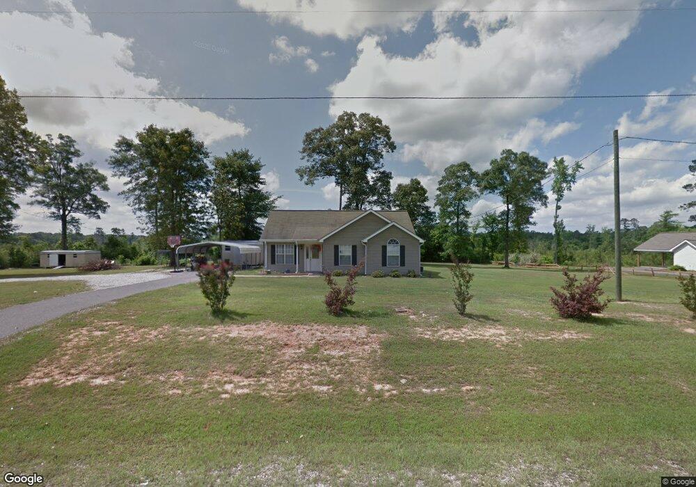
About This Home
This home is located at 113 Dean Ln, Pollock, LA 71467 and is currently estimated at $207,496, approximately $154 per square foot. 113 Dean Ln is a home located in Grant Parish with nearby schools including Pollock Elementary School, Grant Junior High School, and Grant High School.
Ownership History
We collect this data history from publicly available records. To have your information removed, we recommend requesting removal directly through your county’s website.
Purchase Details
Home Financials for this Owner
Home Financials are based on the most recent Mortgage that was taken out on this home.Purchase History
We collect this data history from publicly available records. To have your information removed, we recommend requesting removal directly through your county’s website.
| Date | Buyer | Sale Price | Title Company |
|---|---|---|---|
| $136,000 | -- |
Mortgage History
We collect this data history from publicly available records. To have your information removed, we recommend requesting removal directly through your county’s website.
| Date | Status | Borrower | Loan Amount |
|---|---|---|---|
| Open | $138,720 |
Tax History
We collect this data history from publicly available records. To have your information removed, we recommend requesting removal directly through your county’s website.
| Year | Tax Paid | Tax Assessment Tax Assessment Total Assessment is a certain percentage of the fair market value that is determined by local assessors to be the total taxable value of land and additions on the property. | Land | Improvement |
|---|---|---|---|---|
| 2025 | $2,482 | $17,255 | $2,482 | $14,773 |
| 2024 | $2,569 | $17,255 | $2,482 | $14,773 |
| 2023 | $2,038 | $13,166 | $1,750 | $11,416 |
| 2022 | $2,036 | $13,166 | $1,750 | $11,416 |
| 2021 | $2,036 | $13,166 | $1,750 | $11,416 |
| 2020 | $2,033 | $13,166 | $1,750 | $11,416 |
| 2019 | $2,037 | $12,763 | $1,750 | $11,013 |
| 2018 | $2,037 | $12,763 | $1,750 | $11,013 |
| 2017 | $1,878 | $12,763 | $1,750 | $11,013 |
| 2015 | $2,042 | $11,688 | $1,750 | $9,938 |
| 2014 | $2,042 | $11,688 | $1,750 | $9,938 |
| 2013 | $2,042 | $11,688 | $1,750 | $9,938 |
Map
- 6715 Springhill Rd
- 1307 Brinks Ln
- 120 Hulin
- 202 Irene Dr
- 1720 Birkland Dr
- 1607 Hwy 1204 None
- 1607 Louisiana 1204
- 6627
- 6724 Eastbrook Trace
- 6603 Birch Trace
- 6603 Birch Trace None
- 6644 Pinebrook Trace
- 1731 Ball Cut Off Rd
- 6640 Pinebrook Trace
- 6 Dillard Rd
- 165 Hansen Ct
- 6506 Pinebrook Trace
- 1231 Hooper Rd
- 128 Tall Timbers Ln
- 6305 Shreveport Hwy
Ask me questions while you tour the home.