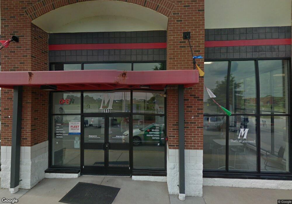
113 Debaun Loop Chesapeake, VA 23320
Indian River NeighborhoodEstimated Value: $3,080,921
--
Bed
--
Bath
7,056
Sq Ft
$437/Sq Ft
Est. Value
About This Home
This home is located at 113 Debaun Loop, Chesapeake, VA 23320 and is currently estimated at $3,080,921, approximately $436 per square foot. 113 Debaun Loop is a home located in Chesapeake City with nearby schools including B.M. Williams Primary School, Crestwood Intermediate School, and Crestwood Middle School.
Ownership History
Date
Name
Owned For
Owner Type
Purchase Details
Closed on
Mar 8, 2011
Sold by
W J Vakos And Company
Bought by
Aeon Llc
Current Estimated Value
Home Financials for this Owner
Home Financials are based on the most recent Mortgage that was taken out on this home.
Original Mortgage
$1,260,000
Outstanding Balance
$867,375
Interest Rate
4.83%
Mortgage Type
Construction
Estimated Equity
$2,213,546
Create a Home Valuation Report for This Property
The Home Valuation Report is an in-depth analysis detailing your home's value as well as a comparison with similar homes in the area
Home Values in the Area
Average Home Value in this Area
Purchase History
| Date | Buyer | Sale Price | Title Company |
|---|---|---|---|
| Aeon Llc | $1,680,000 | -- |
Source: Public Records
Mortgage History
| Date | Status | Borrower | Loan Amount |
|---|---|---|---|
| Open | Aeon Llc | $1,260,000 |
Source: Public Records
Tax History Compared to Growth
Tax History
| Year | Tax Paid | Tax Assessment Tax Assessment Total Assessment is a certain percentage of the fair market value that is determined by local assessors to be the total taxable value of land and additions on the property. | Land | Improvement |
|---|---|---|---|---|
| 2025 | $31,814 | $3,046,000 | $1,017,600 | $2,028,400 |
| 2024 | $31,814 | $3,149,900 | $1,017,600 | $2,132,300 |
| 2023 | $26,838 | $3,080,100 | $883,100 | $2,197,000 |
| 2022 | $28,154 | $2,787,500 | $883,100 | $1,904,400 |
| 2021 | $19,934 | $1,898,500 | $756,900 | $1,141,600 |
| 2020 | $17,935 | $1,708,100 | $672,800 | $1,035,300 |
| 2019 | $17,296 | $1,647,200 | $630,800 | $1,016,400 |
| 2018 | $16,299 | $1,373,000 | $504,600 | $868,400 |
| 2017 | $14,637 | $1,394,000 | $525,600 | $868,400 |
| 2016 | $14,417 | $1,373,000 | $504,600 | $868,400 |
| 2015 | $13,706 | $1,305,300 | $504,600 | $800,700 |
| 2014 | $13,434 | $1,279,400 | $504,600 | $774,800 |
Source: Public Records
Map
Nearby Homes
- 2054 Midway Ave
- 2031 Midway Ave
- 4111 Leyte Ave
- 1509 Waitsel Dr Unit 204
- 2001 Candlelight Dr
- 2034 Allison Dr
- 2105 Portlock Rd
- 4111 Williamson St
- 4159 Williamson St
- 2053 Allison Dr
- 1819 Warfield St
- 2806 Omar St
- 4130 Everett St
- 4121 Everett St
- 806 Wadena Rd
- 2701 Omar St
- 1616 Eugenia Ave
- 2145 Lloyd Dr
- 2144 Campostella Rd
- 25 King George Quay
- 109 Debaun Loop
- 100 Debaun Loop
- 1820 Battlefield Blvd N
- 1499 Sentinel Dr
- 1712 Sentinel Dr
- 1725 Debaun Ave
- 1992 S Military Hwy
- 1708 Sentinel Dr
- 1672 Sentinel Dr
- 2080 S Military Hwy
- 1976 S Military Hwy
- 2065 S Military Hwy
- 220 Rainbow Ln
- 1620 Sentinel Dr
- 1984 S Military Hwy
- 2100 S Military Hwy
- 2053 S Military Hwy
- 1644 Debaun Ave
- 2007 S Military Hwy
- 2129 S Military Hwy
