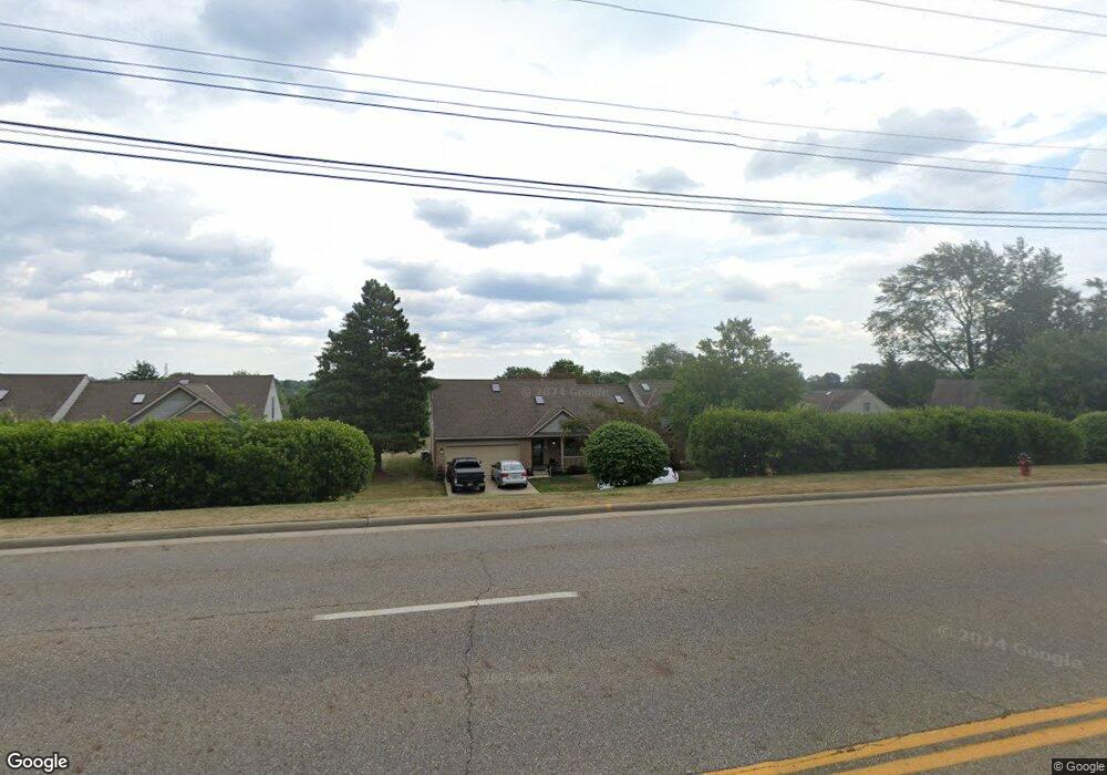
113 Denham Cir NE Canton, OH 44721
Estimated Value: $207,027 - $224,000
2
Beds
2
Baths
1,541
Sq Ft
$140/Sq Ft
Est. Value
About This Home
This home is located at 113 Denham Cir NE, Canton, OH 44721 and is currently estimated at $216,257, approximately $140 per square foot. 113 Denham Cir NE is a home located in Stark County with nearby schools including Charles L. Warstler Elementary School, Oakwood Middle School, and GlenOak High School.
Ownership History
Date
Name
Owned For
Owner Type
Purchase Details
Closed on
Jan 31, 1992
Current Estimated Value
Purchase Details
Closed on
Jan 13, 1992
Create a Home Valuation Report for This Property
The Home Valuation Report is an in-depth analysis detailing your home's value as well as a comparison with similar homes in the area
Purchase History
| Date | Buyer | Sale Price | Title Company |
|---|---|---|---|
| -- | $88,900 | -- | |
| -- | -- | -- |
Source: Public Records
Tax History
| Year | Tax Paid | Tax Assessment Tax Assessment Total Assessment is a certain percentage of the fair market value that is determined by local assessors to be the total taxable value of land and additions on the property. | Land | Improvement |
|---|---|---|---|---|
| 2025 | -- | $59,330 | $10,430 | $48,900 |
| 2024 | -- | $59,330 | $10,430 | $48,900 |
| 2023 | $1,620 | $43,930 | $8,680 | $35,250 |
| 2022 | $1,649 | $43,930 | $8,680 | $35,250 |
| 2021 | $1,657 | $43,930 | $8,680 | $35,250 |
| 2020 | $1,777 | $43,230 | $8,370 | $34,860 |
| 2019 | $1,768 | $43,230 | $8,370 | $34,860 |
Source: Public Records
Map
Nearby Homes
- 308 52nd St NW
- 2229 Schneider St NW
- 1573 Lancaster Gate SE
- 808 47th St NE
- 1407 Mcdowell St NE
- 1542 Alexandria Pkwy SE
- 1920 Birk Cir NE
- 815 44th St NE
- 1331 Shiloh Run SE
- 1341 Shiloh Run SE
- 1338 Shiloh Run SE
- 1617 Southpointe Cir NE Unit 20
- 2317 Raintree St NE
- 425 Santa Clara St NW
- 2216 49th St NE
- 6562 Pine Bluff Ave NE
- 1119 Bachtel St SE
- 5411 Moss Wood Cir NE
- 846 Easthill St SE
- 844 Easthill St SE
- 115 Denham Cir NE
- 5542 Dorrington Ave NE Unit 33
- 5540 Dorrington Ave NE
- 112 Denham Cir NE Unit 42
- 114 Denham Cir NE
- 5550 Dorrington Ave NE Unit 32
- 108 Denham Cir NE Unit 43
- 5532 Dorrington Ave NE
- 5552 Dorrington Ave NE
- 116 Ledbury Cir NE
- 126 Ledbury Cir NE Unit 28
- 106 Denham Cir NE Unit 44
- 130 Denham Cir NE Unit 39
- 128 Ledbury Cir NE
- 117 Ledbury Cir NE
- 5569 Beverly Ave NE
- 115 Ledbury Cir NE
- 127 Ledbury Cir NE
- 5573 Beverly Ave NE
- 125 55th St NE
Your Personal Tour Guide
Ask me questions while you tour the home.