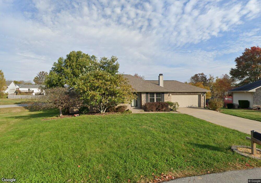
113 Devin Dr Georgetown, KY 40324
Estimated Value: $275,439 - $305,000
--
Bed
--
Bath
1,356
Sq Ft
$214/Sq Ft
Est. Value
About This Home
This home is located at 113 Devin Dr, Georgetown, KY 40324 and is currently estimated at $290,360, approximately $214 per square foot. 113 Devin Dr is a home located in Scott County with nearby schools including Stamping Ground Elementary School, Creekside Elementary School, and Royal Spring Middle School.
Ownership History
Date
Name
Owned For
Owner Type
Purchase Details
Closed on
Feb 7, 2017
Sold by
Ponsetto Louis
Bought by
Mcgovern Ulrike
Current Estimated Value
Purchase Details
Closed on
Jan 26, 2012
Sold by
Ponsetto Louis R and Ponsetto Raymond Michael
Bought by
Ponsetto Louis R and Mcgovern Ulrike
Home Financials for this Owner
Home Financials are based on the most recent Mortgage that was taken out on this home.
Original Mortgage
$74,500
Interest Rate
3.99%
Mortgage Type
New Conventional
Create a Home Valuation Report for This Property
The Home Valuation Report is an in-depth analysis detailing your home's value as well as a comparison with similar homes in the area
Home Values in the Area
Average Home Value in this Area
Purchase History
| Date | Buyer | Sale Price | Title Company |
|---|---|---|---|
| Mcgovern Ulrike | $165,000 | Attorney | |
| Ponsetto Louis R | -- | None Available |
Source: Public Records
Mortgage History
| Date | Status | Borrower | Loan Amount |
|---|---|---|---|
| Previous Owner | Ponsetto Louis R | $74,500 |
Source: Public Records
Tax History Compared to Growth
Tax History
| Year | Tax Paid | Tax Assessment Tax Assessment Total Assessment is a certain percentage of the fair market value that is determined by local assessors to be the total taxable value of land and additions on the property. | Land | Improvement |
|---|---|---|---|---|
| 2024 | $2,230 | $248,000 | $0 | $0 |
| 2023 | $2,117 | $233,500 | $25,000 | $208,500 |
| 2022 | $1,847 | $217,200 | $25,000 | $192,200 |
| 2021 | $1,798 | $205,000 | $25,000 | $180,000 |
| 2020 | $1,668 | $194,100 | $25,000 | $169,100 |
| 2019 | $1,636 | $187,400 | $0 | $0 |
| 2018 | $1,498 | $172,600 | $0 | $0 |
| 2017 | $1,440 | $165,100 | $0 | $0 |
| 2016 | $1,329 | $165,100 | $0 | $0 |
| 2015 | $1,321 | $165,100 | $0 | $0 |
| 2014 | $1,261 | $165,000 | $0 | $0 |
| 2011 | $1,221 | $168,000 | $0 | $0 |
Source: Public Records
Map
Nearby Homes
- 128 Thomas Ln
- 118 Shannon Ln
- 1016 Fairway Dr
- 112 Lost Tree Dr
- 117 Windsong Way
- 1 Frankfort Pike
- 4743 Ironworks Rd
- 111 Carlsan Spring Dr
- 4534 Iron Works Rd
- 4838 Ironworks Rd
- 244 Victoria Way
- 200 Victoria Way
- 2788 Frankfort Rd
- 351 Muir Ln
- 107 Winding View Trail
- 143 Rocky Waters Way
- 2754 Coleman Springs Path
- 125 Sycamore Dr
- 136 King Fisher Way
- 101 Sand Piper Ct