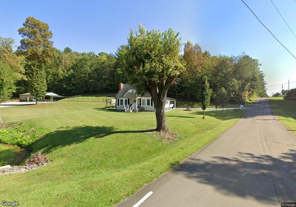
113 Dewberry Rd Mount Airy, NC 27030
Estimated Value: $127,000 - $262,000
3
Beds
1
Bath
1,542
Sq Ft
$126/Sq Ft
Est. Value
About This Home
This home is located at 113 Dewberry Rd, Mount Airy, NC 27030 and is currently estimated at $193,660, approximately $125 per square foot. 113 Dewberry Rd is a home with nearby schools including Flat Rock Elementary School, Meadowview Magnet Middle School, and North Surry High School.
Ownership History
Date
Name
Owned For
Owner Type
Purchase Details
Closed on
Aug 10, 2017
Sold by
Deatherage Brenda C
Bought by
Rios Maria Isabel and Rico Noel
Current Estimated Value
Home Financials for this Owner
Home Financials are based on the most recent Mortgage that was taken out on this home.
Original Mortgage
$65,000
Outstanding Balance
$34,482
Interest Rate
4.03%
Mortgage Type
Purchase Money Mortgage
Estimated Equity
$159,178
Purchase Details
Closed on
May 20, 2014
Sold by
Cockerham Billy G and Cockerham Carol D
Bought by
Deatherage Billy G and Deatherage Brenda C
Create a Home Valuation Report for This Property
The Home Valuation Report is an in-depth analysis detailing your home's value as well as a comparison with similar homes in the area
Purchase History
| Date | Buyer | Sale Price | Title Company |
|---|---|---|---|
| Rios Maria Isabel | $75,000 | None Available | |
| Deatherage Billy G | $30,000 | None Available |
Source: Public Records
Mortgage History
| Date | Status | Borrower | Loan Amount |
|---|---|---|---|
| Open | Rios Maria Isabel | $65,000 |
Source: Public Records
Tax History
| Year | Tax Paid | Tax Assessment Tax Assessment Total Assessment is a certain percentage of the fair market value that is determined by local assessors to be the total taxable value of land and additions on the property. | Land | Improvement |
|---|---|---|---|---|
| 2025 | $891 | $133,550 | $20,110 | $113,440 |
| 2024 | $620 | $85,950 | $16,760 | $69,190 |
| 2023 | $610 | $85,950 | $16,760 | $69,190 |
| 2022 | $610 | $85,950 | $16,760 | $69,190 |
| 2021 | $576 | $85,950 | $16,760 | $69,190 |
| 2020 | $570 | $75,310 | $16,760 | $58,550 |
| 2019 | $567 | $75,310 | $0 | $0 |
| 2018 | $558 | $75,310 | $0 | $0 |
| 2017 | $518 | $70,090 | $0 | $0 |
| 2016 | $514 | $70,090 | $0 | $0 |
Source: Public Records
Map
Nearby Homes
- 00 Paynetown Rd
- 1611 E Pine St
- 240 Deatherage Rd
- 124 Rocky Ln
- 329 Graystone Rd
- 335 Badgett Ave
- 263 Badgett Ave
- 187 Eaton St
- 279 Stanley Rd
- 111 Dozier Ln
- 0 NE Pine St
- 106 Lynnewood Dr
- TBD Glen Terrace
- 166 Lynnewood Dr
- 166 Town Ln
- xx 44.93 Acres Stardust Trail
- 386 Lovers Ln
- 2706 Westfield Rd
- 845 Linville Rd
- 0 Blue Hollow Rd Unit 33 1176021
- 1768 E Pine St
- 1807 E Pine St
- 1767 E Pine St
- 1765 E Pine St
- 146 Dewberry Rd
- 1835 E Pine St
- 1726 E Pine St
- 1726 E Pine St
- 165 Newmans Cove
- 176 Dewberry Rd
- 1716 E Pine St
- 0 Dewberry Rd
- 1704 E Pine St
- 115 Silkwood Trail
- 1695 E Pine St
- 1692 E Pine St
- 225 Paynetown Rd
- 1688 E Pine St
- 206 Dewberry Rd
- 1677 E Pine St
Your Personal Tour Guide
Ask me questions while you tour the home.