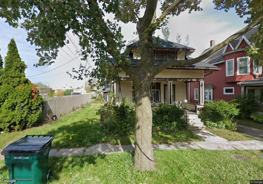
113 E Barnes Ave Lansing, MI 48910
Fabulous Acres NeighborhoodEstimated Value: $80,000 - $108,000
Studio
--
Bath
935
Sq Ft
$100/Sq Ft
Est. Value
About This Home
This home is located at 113 E Barnes Ave, Lansing, MI 48910 and is currently estimated at $93,044, approximately $99 per square foot. 113 E Barnes Ave is a home located in Ingham County with nearby schools including Averill Elementary School, Pattengill Academy, and J.W. Sexton High School.
Ownership History
Date
Name
Owned For
Owner Type
Purchase Details
Closed on
Feb 25, 2003
Sold by
Mackey Glenna M
Bought by
Lira Charmaine L
Current Estimated Value
Home Financials for this Owner
Home Financials are based on the most recent Mortgage that was taken out on this home.
Original Mortgage
$73,841
Interest Rate
5.86%
Mortgage Type
FHA
Create a Home Valuation Report for This Property
The Home Valuation Report is an in-depth analysis detailing your home's value as well as a comparison with similar homes in the area
Home Values in the Area
Average Home Value in this Area
Purchase History
| Date | Buyer | Sale Price | Title Company |
|---|---|---|---|
| Lira Charmaine L | $75,000 | Transnation |
Source: Public Records
Mortgage History
| Date | Status | Borrower | Loan Amount |
|---|---|---|---|
| Previous Owner | Lira Charmaine L | $73,841 |
Source: Public Records
Tax History
| Year | Tax Paid | Tax Assessment Tax Assessment Total Assessment is a certain percentage of the fair market value that is determined by local assessors to be the total taxable value of land and additions on the property. | Land | Improvement |
|---|---|---|---|---|
| 2025 | $1,463 | $41,600 | $3,400 | $38,200 |
| 2024 | $11 | $33,800 | $3,400 | $30,400 |
| 2023 | $1,374 | $29,500 | $3,400 | $26,100 |
| 2022 | $1,244 | $26,200 | $2,700 | $23,500 |
| 2021 | $1,218 | $23,300 | $2,600 | $20,700 |
| 2020 | $1,210 | $21,500 | $2,600 | $18,900 |
| 2019 | $1,157 | $19,600 | $2,600 | $17,000 |
| 2018 | $1,088 | $17,800 | $2,600 | $15,200 |
| 2017 | $1,041 | $17,800 | $2,600 | $15,200 |
| 2016 | $1,020 | $17,500 | $2,600 | $14,900 |
| 2015 | $1,020 | $17,000 | $5,107 | $11,893 |
| 2014 | $1,020 | $17,200 | $3,928 | $13,272 |
Source: Public Records
Map
Nearby Homes
- 147 Isbell St
- 205 Moores River Dr
- 1807 Teel Ave
- 139 Woodlawn Ave
- 227 Woodlawn Ave
- 1408 Reo Ave
- 310 W Barnes Ave
- 1731 Herbert St
- 1406 Reo Ave
- 315 E Mount Hope Ave
- 1917 Teel Ave
- 1824 Davis Ave
- 534 Isbell St
- 506 Christiancy St
- 1535 Linval St
- 1723 Osband Ave
- 1515 Linval St
- 616 Isbell St
- 218 E Elm St
- 1917 Osband Ave
- 117 E Barnes Ave
- 119 E Barnes Ave
- 114 Garden St
- 121 E Barnes Ave
- 108 E Barnes Ave
- 118 Garden St
- 118 Garden St Unit 2
- 114 E Barnes Ave
- 131 E Barnes Ave
- 120 E Barnes Ave
- 122 Garden St
- 1705 S Washington Ave
- 124 E Barnes Ave
- 124 E Barnes Ave Unit Main
- 124 E Barnes Ave Unit Half
- 133 E Barnes Ave
- 1707 S Washington Ave
- 130 Garden St
- 126 E Barnes Ave
- 115 Isbell St
Your Personal Tour Guide
Ask me questions while you tour the home.