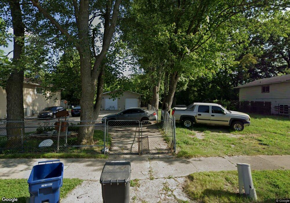
113 E Piper Ave Flint, MI 48505
MLK Circle NeighborhoodEstimated Value: $65,000 - $99,000
3
Beds
2
Baths
1,227
Sq Ft
$67/Sq Ft
Est. Value
About This Home
This home is located at 113 E Piper Ave, Flint, MI 48505 and is currently estimated at $82,000, approximately $66 per square foot. 113 E Piper Ave is a home located in Genesee County with nearby schools including Brownell STEM Academy, The New Standard Academy, and Eagle's Nest Academy.
Ownership History
Date
Name
Owned For
Owner Type
Purchase Details
Closed on
Nov 30, 2021
Sold by
Lee Mcdaniel Robert
Bought by
Mcdaniel Michael Jarmal
Current Estimated Value
Purchase Details
Closed on
Aug 21, 2019
Sold by
Genesee County Land Bank Authority
Bought by
Mcdaniel Calie
Purchase Details
Closed on
Dec 21, 2009
Sold by
Kildee Daniel T
Bought by
Genesee County Land Bank Authority
Purchase Details
Closed on
Dec 14, 2005
Sold by
Gary Goad Realty Llc
Bought by
Goad Llc
Create a Home Valuation Report for This Property
The Home Valuation Report is an in-depth analysis detailing your home's value as well as a comparison with similar homes in the area
Home Values in the Area
Average Home Value in this Area
Purchase History
| Date | Buyer | Sale Price | Title Company |
|---|---|---|---|
| Mcdaniel Michael Jarmal | -- | None Listed On Document | |
| Mcdaniel Calie | -- | None Available | |
| Genesee County Land Bank Authority | -- | None Available | |
| Goad Llc | -- | Crossroads Title Agency |
Source: Public Records
Tax History
| Year | Tax Paid | Tax Assessment Tax Assessment Total Assessment is a certain percentage of the fair market value that is determined by local assessors to be the total taxable value of land and additions on the property. | Land | Improvement |
|---|---|---|---|---|
| 2025 | $103 | $1,400 | $0 | $0 |
| 2024 | $98 | $1,100 | $0 | $0 |
| 2023 | $106 | $900 | $0 | $0 |
| 2022 | $0 | $700 | $0 | $0 |
| 2021 | $145 | $900 | $0 | $0 |
| 2020 | $138 | $800 | $0 | $0 |
| 2019 | $0 | $0 | $0 | $0 |
| 2018 | $0 | $0 | $0 | $0 |
| 2017 | $0 | $0 | $0 | $0 |
| 2016 | $0 | $0 | $0 | $0 |
| 2015 | -- | $0 | $0 | $0 |
| 2014 | -- | $0 | $0 | $0 |
| 2012 | -- | $0 | $0 | $0 |
Source: Public Records
Map
Nearby Homes
- 225 E Piper Ave
- 518 W Ruth Ave
- 536 W Home Ave
- 345 E Austin Ave
- 610 W Austin Ave
- 605 W Foss Ave
- 613 W Foss Ave
- 246 E York Ave
- 209 E York Ave
- 514 W Alma Ave
- 421 E Lorado Ave
- 614 W Holbrook Ave
- 425 E Lorado Ave
- 405 W Bundy Ave
- 422 E Foss Ave
- 350 E Mott Ave
- 426 E Holbrook Ave
- 5416 Dupont St
- 6609 Cranwood Dr
- 6714 Cranwood Dr
- 117 E Piper Ave
- 105 E Piper Ave
- 121 E Piper Ave
- 114 E Russell Ave
- 101 E Piper Ave
- 125 E Piper Ave
- 118 E Russell Ave
- 110 E Russell Ave
- 122 E Russell Ave
- 106 E Russell Ave
- 129 E Piper Ave
- 110 E Piper Ave
- 126 E Russell Ave
- 106 E Piper Ave
- 102 E Piper Ave
- 130 E Russell Ave
- 130 E Piper Ave
- 137 E Piper Ave
- 134 E Russell Ave
- 6101 M l King Ave
Your Personal Tour Guide
Ask me questions while you tour the home.