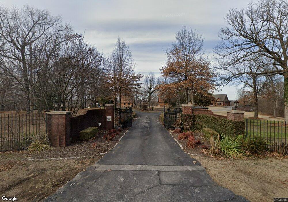
113 Forest Dr Carl Junction, MO 64834
Estimated Value: $720,000 - $1,518,013
Studio
4
Baths
7,630
Sq Ft
$138/Sq Ft
Est. Value
About This Home
This home is located at 113 Forest Dr, Carl Junction, MO 64834 and is currently estimated at $1,055,671, approximately $138 per square foot. 113 Forest Dr is a home located in Jasper County with nearby schools including Carl Junction Primary School (K-1), Carl Junction Intermediate School, and Carl Junction Primary School (2-3).
Ownership History
Date
Name
Owned For
Owner Type
Purchase Details
Closed on
Jan 4, 2023
Sold by
Nemoka Land Company Llc
Bought by
Alan And Sheila Buchele Living Trust
Current Estimated Value
Purchase Details
Closed on
Jul 19, 2022
Sold by
Sheila M Buchele Living Trust
Bought by
Nemoka Land Company Llc
Purchase Details
Closed on
Sep 17, 2019
Sold by
Buchele Alan M and Buchele Sheila M
Bought by
Buchele Alan M and Buchele Sheila M
Purchase Details
Closed on
Jun 20, 2014
Sold by
Nemoka Land Company Llc
Bought by
Buchele Sheila M
Home Financials for this Owner
Home Financials are based on the most recent Mortgage that was taken out on this home.
Original Mortgage
$1,134,750
Interest Rate
4.23%
Mortgage Type
Future Advance Clause Open End Mortgage
Purchase Details
Closed on
Feb 9, 2009
Sold by
Buchele Alan M and Buchele Sheila M
Bought by
Nemoka Land Company Llc
Create a Home Valuation Report for This Property
The Home Valuation Report is an in-depth analysis detailing your home's value as well as a comparison with similar homes in the area
Purchase History
| Date | Buyer | Sale Price | Title Company |
|---|---|---|---|
| Alan And Sheila Buchele Living Trust | -- | -- | |
| Nemoka Land Company Llc | -- | None Listed On Document | |
| Buchele Alan M | -- | -- | |
| Buchele Sheila M | -- | Fatco | |
| Nemoka Land Company Llc | -- | None Available |
Source: Public Records
Mortgage History
| Date | Status | Borrower | Loan Amount |
|---|---|---|---|
| Previous Owner | Buchele Sheila M | $1,134,750 |
Source: Public Records
Tax History
| Year | Tax Paid | Tax Assessment Tax Assessment Total Assessment is a certain percentage of the fair market value that is determined by local assessors to be the total taxable value of land and additions on the property. | Land | Improvement |
|---|---|---|---|---|
| 2025 | $13,710 | $259,290 | $18,880 | $240,410 |
| 2024 | $13,794 | $234,300 | $18,880 | $215,420 |
| 2023 | $13,794 | $234,300 | $18,880 | $215,420 |
| 2022 | $14,100 | $238,850 | $18,880 | $219,970 |
| 2021 | $12,097 | $238,850 | $18,880 | $219,970 |
| 2020 | $11,366 | $220,580 | $18,880 | $201,700 |
| 2019 | $10,548 | $215,660 | $18,880 | $196,780 |
| 2018 | $13,082 | $268,070 | $0 | $0 |
| 2017 | $13,116 | $268,070 | $0 | $0 |
| 2016 | $9,080 | $187,340 | $0 | $0 |
Source: Public Records
Map
Nearby Homes
- 121 Forest Dr
- 112 Red Oak Dr
- 123 Rocky Ln
- 401 Dogwood Trails Loop
- 128 Par Ln
- 306 Lakeview Ln
- 107 Foursome Ln
- 6548 Mo-171
- 25122 Gum Rd
- 9130 Missouri 171
- 710 Briarbrook Dr
- 328 Briarbrook Dr
- XXX Lone Elm
- 232 Hickory Place
- 106 Victoria Ln
- 126 N Windwood
- 501 Anita Dr
- 201 Tee Ln
- Lot 1B Hwy 171 & Fir Rd
- Lot 1A Hwy 171 & Fir Rd
- 109 Forest Dr
- 110 Forest Dr
- 108 Forest Dr
- 112 W Forest Dr
- 106 Forest Dr
- 107 Forest Dr
- 117 Forest Dr
- 115 Red Oak Dr
- 115 Red Oak Dr Unit 1
- 117 Red Oak Dr
- 111 Red Oak Dr
- 119 Red Oak Dr
- 114 Forest Dr
- 113 Red Oak Dr
- 121 Red Oak Dr
- 125 Forest Dr
- 104 W Forest Dr
- 107 Red Oak Dr
- 107 Red Oak Dr
- 109 Red Oak Loop
Your Personal Tour Guide
Ask me questions while you tour the home.