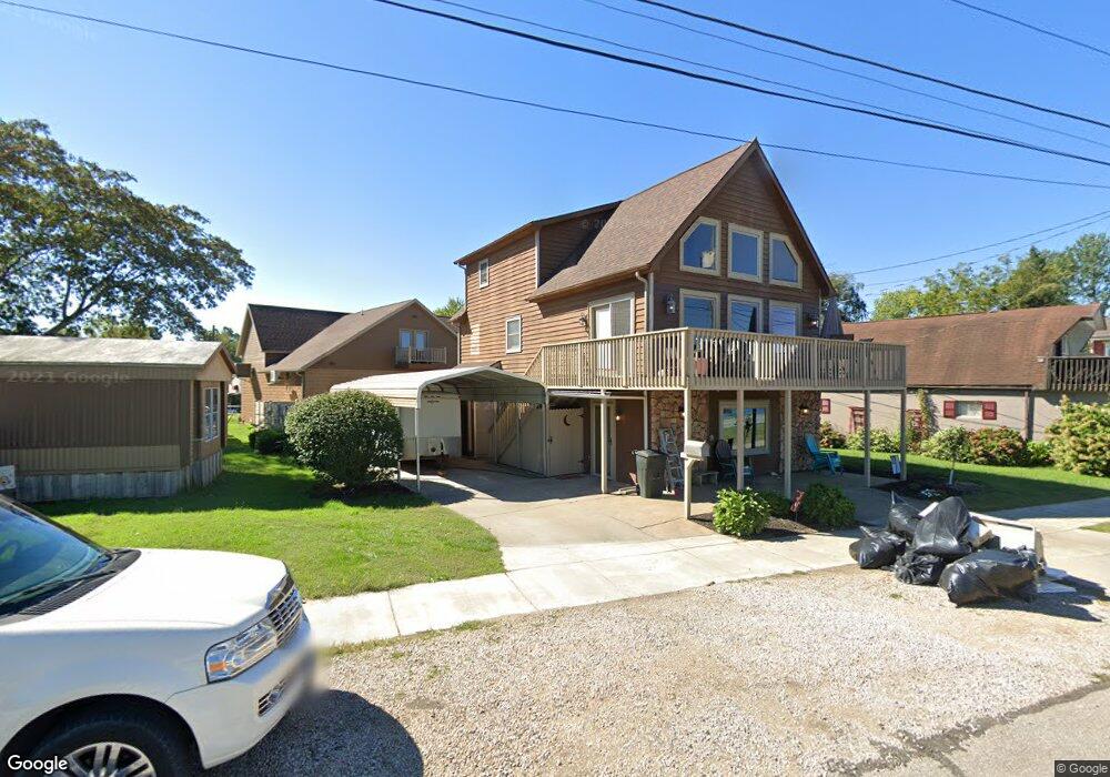
113 Front St Williamstown, WV 26187
Estimated Value: $202,505 - $268,000
2
Beds
2
Baths
1,780
Sq Ft
$131/Sq Ft
Est. Value
About This Home
This home is located at 113 Front St, Williamstown, WV 26187 and is currently estimated at $233,126, approximately $130 per square foot. 113 Front St is a home located in Wood County with nearby schools including Williamstown Elementary School, Williamstown Middle/High School, and Jackson Middle School.
Ownership History
Date
Name
Owned For
Owner Type
Purchase Details
Closed on
Feb 2, 2024
Sold by
Villers Jerry L and Villers Karen L
Bought by
Villers Jerry L and Villers Karen L
Current Estimated Value
Purchase Details
Closed on
Dec 28, 2011
Sold by
Stone Philip and Stone Jennifer E
Bought by
Villers Jerry and Villers Karen
Home Financials for this Owner
Home Financials are based on the most recent Mortgage that was taken out on this home.
Original Mortgage
$130,000
Interest Rate
4%
Mortgage Type
New Conventional
Create a Home Valuation Report for This Property
The Home Valuation Report is an in-depth analysis detailing your home's value as well as a comparison with similar homes in the area
Home Values in the Area
Average Home Value in this Area
Purchase History
| Date | Buyer | Sale Price | Title Company |
|---|---|---|---|
| Villers Jerry L | -- | None Listed On Document | |
| Villers Jerry L | -- | None Listed On Document | |
| Villers Jerry L | -- | None Listed On Document | |
| Villers Jerry | -- | None Available |
Source: Public Records
Mortgage History
| Date | Status | Borrower | Loan Amount |
|---|---|---|---|
| Previous Owner | Villers Jerry | $130,000 |
Source: Public Records
Tax History
| Year | Tax Paid | Tax Assessment Tax Assessment Total Assessment is a certain percentage of the fair market value that is determined by local assessors to be the total taxable value of land and additions on the property. | Land | Improvement |
|---|---|---|---|---|
| 2025 | $1,456 | $101,340 | $19,020 | $82,320 |
| 2024 | $1,456 | $97,260 | $18,780 | $78,480 |
| 2023 | $1,400 | $92,100 | $18,360 | $73,740 |
| 2022 | $1,207 | $89,160 | $17,280 | $71,880 |
| 2021 | $1,175 | $86,460 | $16,200 | $70,260 |
| 2020 | $1,143 | $83,820 | $15,480 | $68,340 |
| 2019 | $1,152 | $82,260 | $15,000 | $67,260 |
| 2018 | $1,119 | $78,120 | $14,280 | $63,840 |
| 2017 | $1,092 | $75,840 | $13,800 | $62,040 |
| 2016 | $999 | $73,800 | $13,560 | $60,240 |
| 2015 | $982 | $72,480 | $13,080 | $59,400 |
| 2014 | -- | $71,220 | $13,080 | $58,140 |
Source: Public Records
Map
Nearby Homes
- 105 W 4 1 2 St
- 119 W 4 1 2 St
- 403 Columbia Ave
- 119 E 5th St
- 129 S 4th St Unit 21
- 4th and Church St
- 814 W 4th St
- 417 Maple St
- 317 1/2 4th St
- 749 Greene St
- 316 5th St
- 20 Silos
- 401 Lancaster St
- 614 Cutler St
- 645 Pearl Street Extension
- 210 Phillips St
- 329 N 7th St
- 308 Gross Ave and Clifton St
- 412 6th St
- 507 3rd St
Your Personal Tour Guide
Ask me questions while you tour the home.