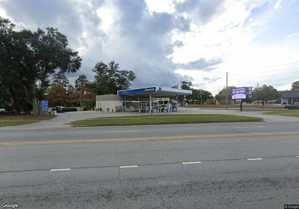
113 General Screven Way Hinesville, GA 31313
Estimated Value: $374,879
--
Bed
--
Bath
1,800
Sq Ft
$208/Sq Ft
Est. Value
About This Home
This home is located at 113 General Screven Way, Hinesville, GA 31313 and is currently estimated at $374,879, approximately $208 per square foot. 113 General Screven Way is a home located in Liberty County with nearby schools including Frank Long Elementary School, Snelson-Golden Middle School, and Bradwell Institute.
Ownership History
Date
Name
Owned For
Owner Type
Purchase Details
Closed on
Feb 20, 2018
Sold by
Noel Osteen J
Bought by
Ramdut 108 Inc
Current Estimated Value
Purchase Details
Closed on
Feb 11, 2010
Sold by
Osteen Patricia C
Bought by
Osteen J Noel
Home Financials for this Owner
Home Financials are based on the most recent Mortgage that was taken out on this home.
Original Mortgage
$314,360
Interest Rate
4.97%
Mortgage Type
Future Advance Clause Open End Mortgage
Purchase Details
Closed on
Dec 3, 1986
Bought by
Double Time Food Inc
Create a Home Valuation Report for This Property
The Home Valuation Report is an in-depth analysis detailing your home's value as well as a comparison with similar homes in the area
Home Values in the Area
Average Home Value in this Area
Purchase History
| Date | Buyer | Sale Price | Title Company |
|---|---|---|---|
| Ramdut 108 Inc | $190,000 | -- | |
| Osteen J Noel | -- | -- | |
| Woolard Clyde M | -- | -- | |
| Double Time Food Inc | $95,000 | -- |
Source: Public Records
Mortgage History
| Date | Status | Borrower | Loan Amount |
|---|---|---|---|
| Previous Owner | Woolard Clyde M | $314,360 |
Source: Public Records
Tax History Compared to Growth
Tax History
| Year | Tax Paid | Tax Assessment Tax Assessment Total Assessment is a certain percentage of the fair market value that is determined by local assessors to be the total taxable value of land and additions on the property. | Land | Improvement |
|---|---|---|---|---|
| 2024 | $9,241 | $189,315 | $155,252 | $34,063 |
| 2023 | $9,241 | $116,421 | $79,844 | $36,577 |
| 2022 | $5,158 | $111,670 | $79,844 | $31,826 |
| 2021 | $5,425 | $115,313 | $79,844 | $35,469 |
| 2020 | $4,194 | $88,283 | $79,844 | $8,439 |
| 2019 | $3,583 | $88,699 | $79,844 | $8,855 |
| 2018 | $4,292 | $91,546 | $79,844 | $11,702 |
| 2017 | $3,032 | $92,078 | $79,844 | $12,234 |
| 2016 | $4,159 | $93,141 | $79,844 | $13,298 |
| 2015 | $3,976 | $93,141 | $79,844 | $13,298 |
| 2014 | $3,976 | $88,083 | $73,190 | $14,893 |
| 2013 | -- | $145,919 | $115,601 | $30,318 |
Source: Public Records
Map
Nearby Homes
- 116 E General Screven Way
- 422 S Main St
- 102 Linda Ct
- 104 Linda Ct
- 105 W General Screven Way
- 103 W General Screven Way
- 418 S Main St
- 127 E General Screven Way
- 415 S Main St
- 462 S Main St
- 511 W Oglethorpe Hwy
- 106 W General Screven Way
- 139 Ryon Ave
- 111 W General Screven Way
- 411 S Main Street Extension
- 411 S Main Extension
- 473 S Main St
- 411 S Main St
- 470 Dykes St
- 110 W General Screven Way
