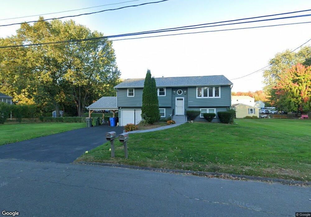
113 Georgetown Rd Bristol, CT 06010
Forestville NeighborhoodEstimated Value: $312,000 - $372,380
3
Beds
3
Baths
1,094
Sq Ft
$323/Sq Ft
Est. Value
About This Home
This home is located at 113 Georgetown Rd, Bristol, CT 06010 and is currently estimated at $353,595, approximately $323 per square foot. 113 Georgetown Rd is a home located in Hartford County with nearby schools including Northeast Middle School, Bristol Eastern High School, and St Matthew School.
Ownership History
Date
Name
Owned For
Owner Type
Purchase Details
Closed on
Jun 3, 1988
Sold by
Pirruccio Paul M
Bought by
Phin Bunna O
Current Estimated Value
Home Financials for this Owner
Home Financials are based on the most recent Mortgage that was taken out on this home.
Original Mortgage
$120,000
Interest Rate
10.24%
Create a Home Valuation Report for This Property
The Home Valuation Report is an in-depth analysis detailing your home's value as well as a comparison with similar homes in the area
Home Values in the Area
Average Home Value in this Area
Purchase History
| Date | Buyer | Sale Price | Title Company |
|---|---|---|---|
| Phin Bunna O | $143,500 | -- |
Source: Public Records
Mortgage History
| Date | Status | Borrower | Loan Amount |
|---|---|---|---|
| Closed | Phin Bunna O | $11,000 | |
| Closed | Phin Bunna O | $100,000 | |
| Closed | Phin Bunna O | $120,000 | |
| Previous Owner | Phin Bunna O | $90,000 |
Source: Public Records
Tax History Compared to Growth
Tax History
| Year | Tax Paid | Tax Assessment Tax Assessment Total Assessment is a certain percentage of the fair market value that is determined by local assessors to be the total taxable value of land and additions on the property. | Land | Improvement |
|---|---|---|---|---|
| 2025 | $6,795 | $201,320 | $43,050 | $158,270 |
| 2024 | $6,365 | $199,850 | $43,050 | $156,800 |
| 2023 | $6,065 | $199,850 | $43,050 | $156,800 |
| 2022 | $5,691 | $148,400 | $34,930 | $113,470 |
| 2021 | $5,691 | $148,400 | $34,930 | $113,470 |
| 2020 | $5,691 | $148,400 | $34,930 | $113,470 |
| 2019 | $5,274 | $138,600 | $34,930 | $103,670 |
| 2018 | $5,112 | $138,600 | $34,930 | $103,670 |
| 2017 | $5,006 | $138,950 | $43,400 | $95,550 |
| 2016 | $5,006 | $138,950 | $43,400 | $95,550 |
| 2015 | $4,809 | $138,950 | $43,400 | $95,550 |
| 2014 | $4,809 | $138,950 | $43,400 | $95,550 |
Source: Public Records
Map
Nearby Homes
- 35 Buckley Ave
- 73 Grove Ave
- 336 Washington St
- 3 Bushel Rd Unit 3
- 46 Pleasant Ave
- 418 Washington St
- 245 Mark St
- 0 Overlook Dr Unit Lot 4 24092448
- 0 Overlook Dr Unit Lot 3 24092446
- 205 Camp St
- 44 Cabot St
- 18 Timber Hill Rd
- 25 Oakwood Cir Unit 7
- 5 Peach Orchard Hill
- 27 Oakwood Cir Unit 8
- 226 E Main St Unit 4
- 109 Glenwood Dr
- 302 Brook St
- 96 Kenney St
- 25 Leon Rd
- 118 Georgetown Rd
- 105 Georgetown Rd
- 123 Georgetown Rd
- 108 Georgetown Rd
- 98 Georgetown Rd
- 128 Georgetown Rd
- 104 Robertson St
- 114 Robertson St
- 116 Robertson St
- 116 Robertson St Unit 116
- 118 Robertson St
- 108 Robertson St
- 108 Robertson St Unit 108
- 108 Robertson St Unit 114
- 106 Robertson St
- 106 Robertson St Unit B
- 106 Robertson St Unit 106
- 85 Georgetown Rd
- 92 Robertson St
- 92 Robertson St Unit 92