113 Greenbrook Dr Stoughton, MA 02072
Estimated Value: $396,017 - $467,000
2
Beds
2
Baths
1,295
Sq Ft
$324/Sq Ft
Est. Value
About This Home
This home is located at 113 Greenbrook Dr, Stoughton, MA 02072 and is currently estimated at $419,504, approximately $323 per square foot. 113 Greenbrook Dr is a home located in Norfolk County with nearby schools including Helen Hansen Elementary School, Dr. Robert G. O'Donnell Middle School, and Stoughton High School.
Ownership History
Date
Name
Owned For
Owner Type
Purchase Details
Closed on
Jan 30, 2019
Sold by
Tucker Donald B
Bought by
113 Greenbrook Dr 62-2 Rt and Tucker
Current Estimated Value
Purchase Details
Closed on
Aug 4, 1988
Sold by
Esposito Gerard R
Bought by
Tucker Donald B
Purchase Details
Closed on
May 12, 1988
Sold by
Griffith Richard M
Bought by
Dillon Dale M
Home Financials for this Owner
Home Financials are based on the most recent Mortgage that was taken out on this home.
Original Mortgage
$85,520
Interest Rate
10.02%
Mortgage Type
Purchase Money Mortgage
Create a Home Valuation Report for This Property
The Home Valuation Report is an in-depth analysis detailing your home's value as well as a comparison with similar homes in the area
Home Values in the Area
Average Home Value in this Area
Purchase History
| Date | Buyer | Sale Price | Title Company |
|---|---|---|---|
| 113 Greenbrook Dr 62-2 Rt | -- | -- | |
| 113 Greenbrook Dr 62-2 Rt | -- | -- | |
| Tucker Donald B | $6,173 | -- | |
| Dillon Dale M | $106,900 | -- |
Source: Public Records
Mortgage History
| Date | Status | Borrower | Loan Amount |
|---|---|---|---|
| Previous Owner | Dillon Dale M | $85,520 |
Source: Public Records
Tax History Compared to Growth
Tax History
| Year | Tax Paid | Tax Assessment Tax Assessment Total Assessment is a certain percentage of the fair market value that is determined by local assessors to be the total taxable value of land and additions on the property. | Land | Improvement |
|---|---|---|---|---|
| 2025 | $4,654 | $375,900 | $0 | $375,900 |
| 2024 | $4,313 | $338,800 | $0 | $338,800 |
| 2023 | $4,261 | $314,500 | $0 | $314,500 |
| 2022 | $4,188 | $290,600 | $0 | $290,600 |
| 2021 | $3,891 | $257,700 | $0 | $257,700 |
| 2020 | $3,760 | $252,500 | $0 | $252,500 |
| 2019 | $3,591 | $234,100 | $0 | $234,100 |
| 2018 | $3,300 | $222,800 | $0 | $222,800 |
| 2017 | $2,982 | $205,800 | $0 | $205,800 |
| 2016 | $2,870 | $191,700 | $0 | $191,700 |
| 2015 | $2,689 | $177,700 | $0 | $177,700 |
| 2014 | $2,714 | $172,400 | $0 | $172,400 |
Source: Public Records
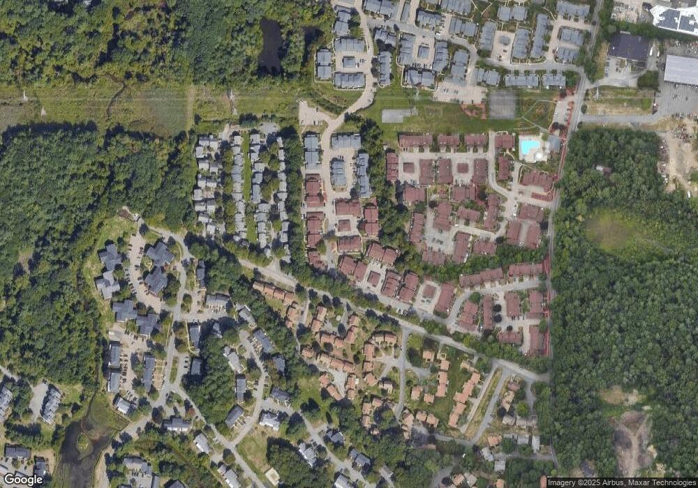
Map
Nearby Homes
- 109 Greenbrook Dr Unit 109
- 18 Cherrywood Dr Unit 18
- 40 Elderwood Dr
- 16 Jessica Dr Unit E
- 54 Laurelwood Dr
- 64 Laurelwood Dr
- 175 Greenbrook Dr
- 59 Rosewood Dr
- 230 Greenbrook Dr Unit 6-06
- 82 Frances Dr
- 8 Patricia Dr
- 35 Patricia Dr
- 17 Patricia Dr
- 103 Kim Terrace Unit A
- 23 Millfarm Rd
- 74 Ethyl Way
- 111 Ethyl Way Unit E
- 2040 Central St
- 11 Springwood Ave
- 3 Donald Rd
- 113 Greenbrook Dr Unit 113
- 113 Greenbrook Dr Unit 62
- 105 Greenbrook Dr
- 107 Greenbrook Dr
- 101 Greenbrook Dr
- 107 Greenbrook Dr Unit 61/5
- 93 Greenbrook Dr
- 83 Greenbrook Dr
- 87 Greenbrook Dr
- 89 Greenbrook Dr
- 89 Greenbrook Dr Unit 89,60
- 127 Greenbrook Dr
- 129 Greenbrook Dr
- 131 Greenbrook Dr
- 121 Greenbrook Dr
- 123 Greenbrook Dr
- 125 Greenbrook Dr
- 121 Greenbrook Dr Unit 63 - 3
- 131 Greenbrook Dr Unit 131
- 91 Greenbrook Dr