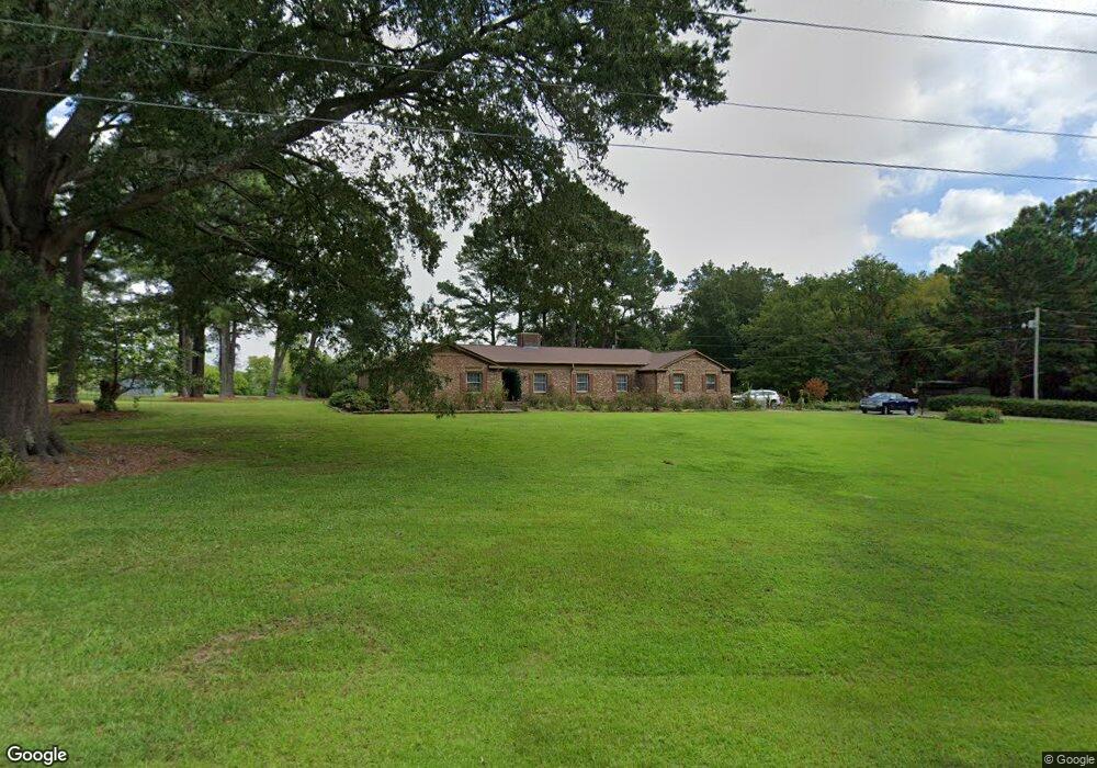
113 Grifford Dr Louisburg, NC 27549
Estimated Value: $361,000 - $494,000
3
Beds
3
Baths
3,200
Sq Ft
$137/Sq Ft
Est. Value
About This Home
This home is located at 113 Grifford Dr, Louisburg, NC 27549 and is currently estimated at $437,976, approximately $136 per square foot. 113 Grifford Dr is a home located in Franklin County with nearby schools including Louisburg Elementary School, Terrell Lane Middle School, and Louisburg High School.
Ownership History
Date
Name
Owned For
Owner Type
Purchase Details
Closed on
May 2, 2008
Sold by
Deutsche Bank National Trust Co
Bought by
Mcnair Michael N and Mcnair Brenda K
Current Estimated Value
Home Financials for this Owner
Home Financials are based on the most recent Mortgage that was taken out on this home.
Original Mortgage
$125,100
Outstanding Balance
$78,436
Interest Rate
5.86%
Mortgage Type
Purchase Money Mortgage
Estimated Equity
$359,540
Purchase Details
Closed on
Sep 18, 2007
Sold by
Farkas Joseph A and Farkas Kay P
Bought by
Deutsche Bank National Trust Co
Create a Home Valuation Report for This Property
The Home Valuation Report is an in-depth analysis detailing your home's value as well as a comparison with similar homes in the area
Home Values in the Area
Average Home Value in this Area
Purchase History
| Date | Buyer | Sale Price | Title Company |
|---|---|---|---|
| Mcnair Michael N | $158,000 | None Available | |
| Deutsche Bank National Trust Co | $219,000 | None Available |
Source: Public Records
Mortgage History
| Date | Status | Borrower | Loan Amount |
|---|---|---|---|
| Open | Mcnair Michael N | $125,100 |
Source: Public Records
Tax History Compared to Growth
Tax History
| Year | Tax Paid | Tax Assessment Tax Assessment Total Assessment is a certain percentage of the fair market value that is determined by local assessors to be the total taxable value of land and additions on the property. | Land | Improvement |
|---|---|---|---|---|
| 2025 | $4,269 | $413,838 | $72,798 | $341,040 |
| 2024 | $4,269 | $413,838 | $72,798 | $341,040 |
| 2023 | $2,989 | $224,050 | $55,940 | $168,110 |
| 2022 | $2,867 | $224,050 | $55,940 | $168,110 |
| 2021 | $2,889 | $224,050 | $55,940 | $168,110 |
| 2020 | $2,898 | $224,050 | $55,940 | $168,110 |
| 2019 | $2,888 | $224,050 | $55,940 | $168,110 |
| 2018 | $2,883 | $224,050 | $55,940 | $168,110 |
| 2017 | $2,819 | $198,050 | $50,850 | $147,200 |
| 2016 | $2,932 | $198,050 | $50,850 | $147,200 |
| 2015 | $2,972 | $198,050 | $50,850 | $147,200 |
| 2014 | $2,843 | $198,050 | $50,850 | $147,200 |
Source: Public Records
Map
Nearby Homes
- 109 Drew St
- 7.69 Acres N Carolina 561
- 23.20 Acre N Carolina 561
- 10.26 Acre N Carolina 561
- 0-0 Halifax Rd
- 126 Person St
- 612 N Main St
- 101 Briarwood Ct
- 125 Davis St
- 604 N Main St
- 191 Nc 56 Hwy E
- 401 N Main St
- 321 W Noble St
- 205 Williamson St
- 313 W Noble St
- 311 Nc 56 Hwy E
- 301 W College St
- 305 N Elm St
- 414 W Noble St
- 615 Woodland Trail
- 117 Grifford Dr
- 0 Thornton St Unit 10031277
- 118 Grifford Dr
- 111 Grifford Dr
- 111 Grifford Dr
- 120 Grifford Dr
- 119 Grifford Dr
- 119 Grifford Dr
- 107 Stratford Dr
- 107 Stratford Dr
- 105 Stratford Dr
- 103 Stratford Dr
- 109 Stratford Dr
- 109 Stratford Dr
- 127 Grifford Dr
- 289 Nc 561 Hwy
- 107 Grifford Dr
- 124 Stratford Dr
- 112 Stratford Dr
- 111 Stratford Dr