113 High Rock Rd Sandy Hook, CT 06482
Estimated Value: $468,000 - $576,000
3
Beds
2
Baths
1,600
Sq Ft
$331/Sq Ft
Est. Value
About This Home
This home is located at 113 High Rock Rd, Sandy Hook, CT 06482 and is currently estimated at $530,122, approximately $331 per square foot. 113 High Rock Rd is a home located in Fairfield County with nearby schools including Middle Gate Elementary School, Reed Intermediate School, and Newtown Middle School.
Ownership History
Date
Name
Owned For
Owner Type
Purchase Details
Closed on
Jan 28, 2022
Sold by
Viscuso Kimberly
Bought by
Viscuso Kimberly and Viscuso Antonio G
Current Estimated Value
Home Financials for this Owner
Home Financials are based on the most recent Mortgage that was taken out on this home.
Original Mortgage
$238,000
Interest Rate
3.56%
Mortgage Type
Stand Alone Refi Refinance Of Original Loan
Purchase Details
Closed on
Jan 19, 2018
Sold by
Viscuso Antonio
Bought by
Viscuso Kimberly
Purchase Details
Closed on
Aug 22, 1997
Sold by
Cappa Paul and Cappa Jane
Bought by
Fagan Michael and Fagan Molly
Home Financials for this Owner
Home Financials are based on the most recent Mortgage that was taken out on this home.
Original Mortgage
$90,000
Interest Rate
7.42%
Mortgage Type
Unknown
Purchase Details
Closed on
May 1, 1990
Sold by
Lines Terry
Bought by
Cappa Paul
Create a Home Valuation Report for This Property
The Home Valuation Report is an in-depth analysis detailing your home's value as well as a comparison with similar homes in the area
Home Values in the Area
Average Home Value in this Area
Purchase History
| Date | Buyer | Sale Price | Title Company |
|---|---|---|---|
| Viscuso Kimberly | -- | None Available | |
| Viscuso Kimberly | -- | None Available | |
| Viscuso Kimberly | -- | None Available | |
| Viscuso Kimberly | -- | -- | |
| Viscuso Kimberly | -- | -- | |
| Fagan Michael | $192,500 | -- | |
| Viscuso Kimberly | -- | -- | |
| Fagan Michael | $192,500 | -- | |
| Cappa Paul | $210,000 | -- |
Source: Public Records
Mortgage History
| Date | Status | Borrower | Loan Amount |
|---|---|---|---|
| Previous Owner | Viscuso Kimberly | $238,000 | |
| Previous Owner | Cappa Paul | $15,000 | |
| Previous Owner | Cappa Paul | $90,000 |
Source: Public Records
Tax History
| Year | Tax Paid | Tax Assessment Tax Assessment Total Assessment is a certain percentage of the fair market value that is determined by local assessors to be the total taxable value of land and additions on the property. | Land | Improvement |
|---|---|---|---|---|
| 2025 | $8,187 | $284,860 | $65,810 | $219,050 |
| 2024 | $7,683 | $284,860 | $65,810 | $219,050 |
| 2023 | $7,475 | $284,860 | $65,810 | $219,050 |
| 2022 | $7,032 | $202,830 | $70,200 | $132,630 |
| 2021 | $7,028 | $202,830 | $70,200 | $132,630 |
| 2020 | $7,050 | $202,830 | $70,200 | $132,630 |
| 2019 | $7,052 | $202,830 | $70,200 | $132,630 |
| 2018 | $6,945 | $202,830 | $70,200 | $132,630 |
| 2017 | $6,228 | $183,870 | $72,140 | $111,730 |
| 2016 | $6,178 | $183,870 | $72,140 | $111,730 |
| 2015 | $6,081 | $183,870 | $72,140 | $111,730 |
| 2014 | $6,125 | $183,870 | $72,140 | $111,730 |
Source: Public Records
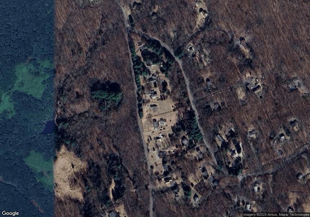
Map
Nearby Homes
- 42 Great Ring Rd
- 61 High Rock Rd
- 40 Great Ring Rd
- 49 Great Ring Rd
- 59 Great Ring Rd
- 3 Rowledge Pond Rd
- 39 Bradley Ln
- 360 Garder Rd
- 491 Hammertown Rd
- 275 Hammertown Rd
- 3 Serenity Ln
- 66 Marlin Rd
- 8 Stone Bridge Trail
- 13 Jordan Hill Rd Unit Lot 4
- 238 Berkshire Rd
- 58 Botsford Hill Rd
- 167 Toddy Hill Rd
- 124 Bagburn Rd
- 114 Turkey Roost Rd
- 34 Bagburn Rd
- 115 High Rock Rd
- 111 High Rock Rd
- 109 High Rock Rd
- 117 High Rock Rd
- 14 Sand Hill Rd
- 107 High Rock Rd
- 119 High Rock Rd
- 13 Sand Hill Rd
- 17 Sand Hill Rd
- 105 High Rock Rd
- 16 Sand Hill Rd
- 121 High Rock Rd
- 11 Sand Hill Rd
- 19 Sand Hill Rd
- 18 Sand Hill Rd
- 123 High Rock Rd
- 5 Sand Hill Rd
- 82 Great Ring Rd
- 15 Sand Hill Rd
- 20 Sand Hill Rd
Your Personal Tour Guide
Ask me questions while you tour the home.