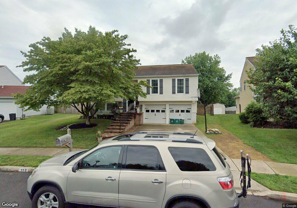
113 Independence Dr Morrisville, PA 19067
Estimated Value: $485,897 - $555,000
3
Beds
2
Baths
1,026
Sq Ft
$507/Sq Ft
Est. Value
About This Home
This home is located at 113 Independence Dr, Morrisville, PA 19067 and is currently estimated at $520,224, approximately $507 per square foot. 113 Independence Dr is a home located in Bucks County with nearby schools including Eleanor Roosevelt Elementary School, Pennwood Middle School, and Pennsbury High School.
Ownership History
Date
Name
Owned For
Owner Type
Purchase Details
Closed on
Nov 13, 2007
Sold by
Detample Glenn R and Detample Kimberly
Bought by
Baughman Joshua and Baughman Adrienne
Current Estimated Value
Home Financials for this Owner
Home Financials are based on the most recent Mortgage that was taken out on this home.
Original Mortgage
$259,200
Interest Rate
6.21%
Mortgage Type
Purchase Money Mortgage
Purchase Details
Closed on
Apr 29, 1994
Sold by
Seitz Charles A and Seitz Elizabeth J
Bought by
Detample Glenn R and Detample Kimberly
Home Financials for this Owner
Home Financials are based on the most recent Mortgage that was taken out on this home.
Original Mortgage
$143,300
Interest Rate
7.7%
Mortgage Type
Assumption
Create a Home Valuation Report for This Property
The Home Valuation Report is an in-depth analysis detailing your home's value as well as a comparison with similar homes in the area
Home Values in the Area
Average Home Value in this Area
Purchase History
| Date | Buyer | Sale Price | Title Company |
|---|---|---|---|
| Baughman Joshua | $324,000 | None Available | |
| Detample Glenn R | $140,500 | -- |
Source: Public Records
Mortgage History
| Date | Status | Borrower | Loan Amount |
|---|---|---|---|
| Previous Owner | Baughman Joshua | $259,200 | |
| Previous Owner | Detample Glenn R | $143,300 |
Source: Public Records
Tax History Compared to Growth
Tax History
| Year | Tax Paid | Tax Assessment Tax Assessment Total Assessment is a certain percentage of the fair market value that is determined by local assessors to be the total taxable value of land and additions on the property. | Land | Improvement |
|---|---|---|---|---|
| 2025 | $6,643 | $29,830 | $8,150 | $21,680 |
| 2024 | $6,643 | $29,830 | $8,150 | $21,680 |
| 2023 | $6,126 | $28,710 | $8,150 | $20,560 |
| 2022 | $5,936 | $28,710 | $8,150 | $20,560 |
| 2021 | $5,821 | $28,710 | $8,150 | $20,560 |
| 2020 | $5,821 | $28,710 | $8,150 | $20,560 |
| 2019 | $5,719 | $28,710 | $8,150 | $20,560 |
| 2018 | $5,648 | $28,710 | $8,150 | $20,560 |
| 2017 | $5,506 | $28,710 | $8,150 | $20,560 |
| 2016 | $5,506 | $28,710 | $8,150 | $20,560 |
| 2015 | $5,046 | $28,710 | $8,150 | $20,560 |
| 2014 | $5,046 | $28,710 | $8,150 | $20,560 |
Source: Public Records
Map
Nearby Homes
- 10 Makefield Rd
- 115 Winding Way
- 113 Juliet Rd
- 199 Share Dr
- 229 Walton Dr
- 404 Alden Ave
- 413 Alden Ave
- 5 Patrick Ln
- 670 Lincoln Hwy
- 184 Crestview Way
- 120 Vermont Ln
- 494 Keating Dr
- 46 Moon Dr
- 581 Nottingham Dr
- LOT 021-003 W M Y Ln
- 942 Roeloffs Ct
- 79 Sutphin Pines
- 866 Weber Dr
- 244 Guilford Rd
- 320 Melvin Ave N
- 111 Independence Dr
- 115 Independence Dr
- 109 Independence Dr
- 117 Independence Dr
- 110 Independence Dr
- 107 Independence Dr
- 63 Makefield Rd
- 112 Independence Dr
- 108 Independence Dr
- 65 Makefield Rd
- 119 Independence Dr
- 105 Independence Dr
- 106 Independence Dr
- 415 Justice Ln
- 67 Makefield Rd
- 121 Independence Dr
- 413 Justice Ln
- 104 Independence Dr
- 411 Justice Ln
- 103 Independence Dr