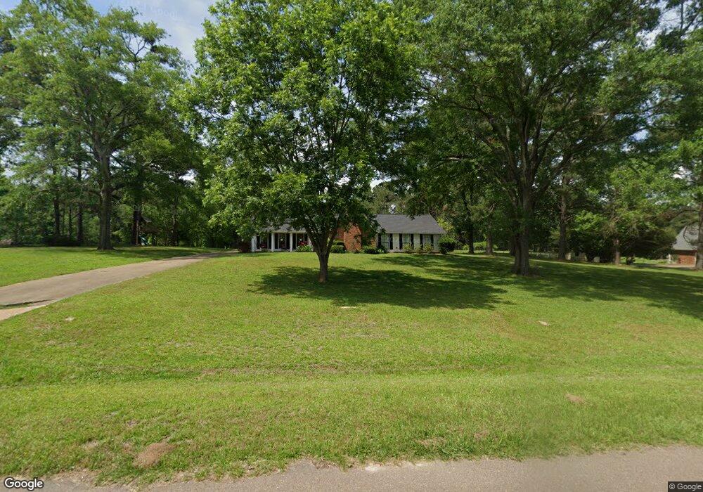
113 Keith Ln Clinton, MS 39056
Clinton AreaEstimated Value: $310,406 - $403,000
About This Home
This home is located at 113 Keith Ln, Clinton, MS 39056 and is currently estimated at $339,852, approximately $161 per square foot. 113 Keith Ln is a home located in Hinds County with nearby schools including Clinton Park Elementary School, Northside Elementary School, and Eastside Elementary School.
Ownership History
We collect this data history from publicly available records. To have your information removed, we recommend requesting removal directly through your county’s website.
Purchase Details
Purchase Details
Home Financials for this Owner
Home Financials are based on the most recent Mortgage that was taken out on this home.Home Values in the Area
Average Home Value in this Area
Purchase History
We collect this data history from publicly available records. To have your information removed, we recommend requesting removal directly through your county’s website.
| Date | Buyer | Sale Price | Title Company |
|---|---|---|---|
| -- | None Available | ||
| -- | Attorney |
Mortgage History
We collect this data history from publicly available records. To have your information removed, we recommend requesting removal directly through your county’s website.
| Date | Status | Borrower | Loan Amount |
|---|---|---|---|
| Previous Owner | $214,000 | ||
| Previous Owner | $136,700 |
Tax History
We collect this data history from publicly available records. To have your information removed, we recommend requesting removal directly through your county’s website.
| Year | Tax Paid | Tax Assessment Tax Assessment Total Assessment is a certain percentage of the fair market value that is determined by local assessors to be the total taxable value of land and additions on the property. | Land | Improvement |
|---|---|---|---|---|
| 2025 | $1,777 | $13,444 | $3,500 | $9,944 |
| 2024 | $1,735 | $13,255 | $3,500 | $9,755 |
| 2023 | $1,735 | $13,255 | $3,500 | $9,755 |
| 2022 | $2,015 | $13,255 | $3,500 | $9,755 |
| 2021 | $1,715 | $13,255 | $3,500 | $9,755 |
| 2020 | $1,680 | $13,116 | $3,500 | $9,616 |
| 2019 | $1,720 | $13,116 | $3,500 | $9,616 |
| 2018 | $1,720 | $13,116 | $3,500 | $9,616 |
| 2017 | $1,645 | $13,116 | $3,500 | $9,616 |
| 2016 | $1,645 | $13,116 | $3,500 | $9,616 |
| 2015 | $1,703 | $13,553 | $3,500 | $10,053 |
| 2014 | $1,703 | $13,553 | $3,500 | $10,053 |
Map
- 101 Shadia Dr
- 118 Bentwood Dr
- 101 Pinehaven Place
- 100 Kentucky Way
- 104 Triple Crown Cove
- 101 Marion Dr
- 114 Saratoga Springs Ave
- 108 Saratoga Springs Ave
- 112 Saratoga Springs Ave
- 110 Saratoga Springs Ave
- 106 Saratoga Springs Ave
- 109 Saratoga Springs Ave
- 109 Cedar Hill Way
- 112 Horseshoe Blvd
- 2 Atlanta Cove
- 103 Catherine Blvd
- 210 Saratoga Springs Ave
- 202 Saratoga Springs Ave
- 0 Copper Creek Dr Unit 4113527
- 0 Copper Creek Dr Unit 4113564
Ask me questions while you tour the home.