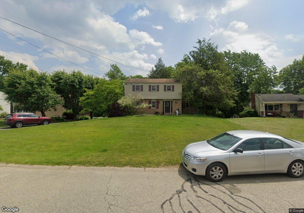
113 Kings Point Rd Glenshaw, PA 15116
Ross Township NeighborhoodEstimated Value: $365,000 - $384,000
3
Beds
3
Baths
1,734
Sq Ft
$215/Sq Ft
Est. Value
About This Home
This home is located at 113 Kings Point Rd, Glenshaw, PA 15116 and is currently estimated at $372,096, approximately $214 per square foot. 113 Kings Point Rd is a home located in Allegheny County with nearby schools including McIntyre Elementary School, North Hills Middle School, and North Hills Senior High School.
Ownership History
Date
Name
Owned For
Owner Type
Purchase Details
Closed on
Aug 4, 2003
Sold by
Parreaguirre Mario A
Bought by
Manning Michael R
Current Estimated Value
Home Financials for this Owner
Home Financials are based on the most recent Mortgage that was taken out on this home.
Original Mortgage
$138,000
Outstanding Balance
$59,263
Interest Rate
5.28%
Mortgage Type
New Conventional
Estimated Equity
$312,833
Purchase Details
Closed on
Jun 30, 1997
Sold by
Kotkiewicz Edmund and Kotkiewicz Linda G
Bought by
Parreaguirre Mario A and Parreaguirre Megan K
Create a Home Valuation Report for This Property
The Home Valuation Report is an in-depth analysis detailing your home's value as well as a comparison with similar homes in the area
Home Values in the Area
Average Home Value in this Area
Purchase History
| Date | Buyer | Sale Price | Title Company |
|---|---|---|---|
| Manning Michael R | $173,000 | -- | |
| Parreaguirre Mario A | $128,000 | -- |
Source: Public Records
Mortgage History
| Date | Status | Borrower | Loan Amount |
|---|---|---|---|
| Open | Manning Michael R | $138,000 |
Source: Public Records
Tax History Compared to Growth
Tax History
| Year | Tax Paid | Tax Assessment Tax Assessment Total Assessment is a certain percentage of the fair market value that is determined by local assessors to be the total taxable value of land and additions on the property. | Land | Improvement |
|---|---|---|---|---|
| 2025 | $4,183 | $154,200 | $51,200 | $103,000 |
| 2024 | $4,183 | $154,200 | $51,200 | $103,000 |
| 2023 | $4,183 | $154,200 | $51,200 | $103,000 |
| 2022 | $4,082 | $154,200 | $51,200 | $103,000 |
| 2021 | $729 | $154,200 | $51,200 | $103,000 |
| 2020 | $4,022 | $154,200 | $51,200 | $103,000 |
| 2019 | $3,960 | $154,200 | $51,200 | $103,000 |
| 2018 | $729 | $154,200 | $51,200 | $103,000 |
| 2017 | $3,890 | $154,200 | $51,200 | $103,000 |
| 2016 | $729 | $154,200 | $51,200 | $103,000 |
| 2015 | $729 | $154,200 | $51,200 | $103,000 |
| 2014 | $3,807 | $154,200 | $51,200 | $103,000 |
Source: Public Records
Map
Nearby Homes
- 106 Kings Point Rd
- 107 Albine Dr
- 105 Parkview Rd
- 8008 Lingay Dr
- 3305 Laurel Dr
- 161 White Oak Dr
- 203 Southview Rd
- 7069 Bennington Woods Dr
- 7052 Bennington Woods Dr
- 120 Shannon Dr
- 2915 Albine Dr
- 2118 Coventry Dr
- 8008 Bayard Ct
- 217 Belladonna Dr
- 1857 Brandywine Dr
- 8214 Brittany Ct
- 200 Ennerdale Ln
- 611 W Sutter Rd
- 8220 Post Rd
- 8241 Thompson Run Rd
- 111 Kings Point Rd
- 115 Kings Point Rd
- 117 Lingay Dr
- 109 Kings Point Rd
- 112 Kings Point Rd
- 108 Kings Point Rd
- 117 Kings Point Rd
- 115 Lingay Dr
- 119 Lingay Dr
- 114 Kings Point Rd
- 116 Kings Point Rd
- 113 Lingay Dr
- 107 Kings Point Rd
- 121 Lingay Dr
- 104 Kings Point Rd
- 106 Carriage Hill Rd
- 110 Carriage Hill Rd
- 105 Kings Point Rd
- 123 Lingay Dr
- 108 Carriage Hill Rd