113 Latrobe Ave Saint Augustine, FL 32095
Estimated Value: $632,614 - $662,000
About This Home
This home is located at 113 Latrobe Ave, Saint Augustine, FL 32095 and is currently estimated at $650,654, approximately $235 per square foot. 113 Latrobe Ave is a home with nearby schools including Mill Creek Academy, Palencia Montessori Academy, and Mill Creek Baptist Christian Academy.
Ownership History
We collect this data history from publicly available records. To have your information removed, we recommend requesting removal directly through your county’s website.
Purchase Details
Home Financials for this Owner
Home Financials are based on the most recent Mortgage that was taken out on this home.Purchase History
We collect this data history from publicly available records. To have your information removed, we recommend requesting removal directly through your county’s website.
| Date | Buyer | Sale Price | Title Company |
|---|---|---|---|
| $423,500 | Calatlantic Title Inc |
Mortgage History
We collect this data history from publicly available records. To have your information removed, we recommend requesting removal directly through your county’s website.
| Date | Status | Borrower | Loan Amount |
|---|---|---|---|
| Open | $423,480 |
Tax History
We collect this data history from publicly available records. To have your information removed, we recommend requesting removal directly through your county’s website.
| Year | Tax Paid | Tax Assessment Tax Assessment Total Assessment is a certain percentage of the fair market value that is determined by local assessors to be the total taxable value of land and additions on the property. | Land | Improvement |
|---|---|---|---|---|
| 2026 | $4,980 | $452,697 | -- | -- |
| 2025 | $4,611 | $440,796 | -- | -- |
| 2024 | $4,611 | $428,373 | -- | -- |
| 2023 | $4,611 | $415,896 | $0 | $0 |
| 2022 | $4,294 | $403,783 | $0 | $0 |
| 2021 | $4,196 | $392,022 | $0 | $0 |
| 2020 | $5,022 | $82,500 | $0 | $0 |
| 2019 | $5,398 | $75,000 | $0 | $0 |
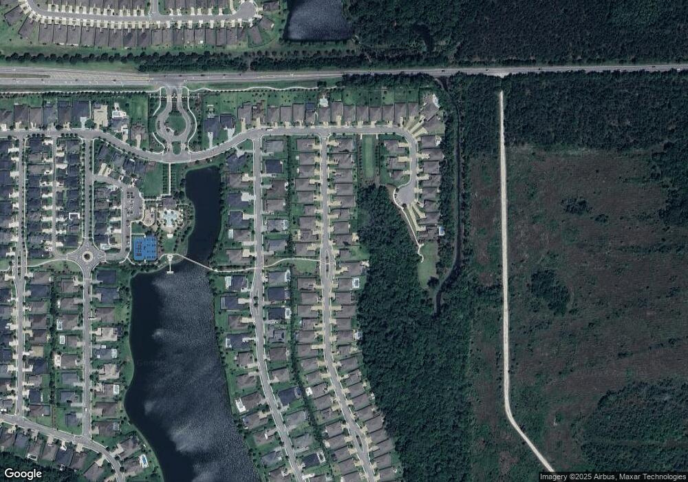
Map
- 184 Kirkside Ave
- 267 Renwick Pkwy
- 284 Latrobe Ave
- 258 Rock Spring Loop
- 87 Haas Ave
- 221 Westcott Pkwy
- 86 Rock Spring Loop
- 514 Latrobe Ave
- 45 Bluejack Ln
- 92 Bluejack Ln
- 0 Hortons Trace Unit 2098094
- 132 Orchard Ln
- 165 Bluejack Ln
- 323 Aspinwall Pkwy
- 49 Orchard Ln
- 151 Ash Breeze Cove
- 31 Crystal Crest Ln
- 201 Ash Breeze Cove
- 39 Crystal Crest Ln
- 228 River Mist Dr
- 94 Latrobe Ave
- 70 Latrobe Ave
- 58 Latrobe Ave
- 81 Kirkside Ave
- 97 Kirkside Ave
- 97 Kirkside Ave
- 120 Latrobe Ave
- 89 Latrobe Ave
- 63 Kirkside Ave
- 77 Latrobe Ave
- 31 Latrobe Ave
- 117 Kirkside Ave
- 101 Latrobe Ave
- 46 Latrobe Ave
- 65 Latrobe Ave
- 45 Kirkside Ave
- 51 Latrobe Ave
- 34 Latrobe Ave
- 39 Latrobe Ave
- 125 Latrobe Ave
Ask me questions while you tour the home.