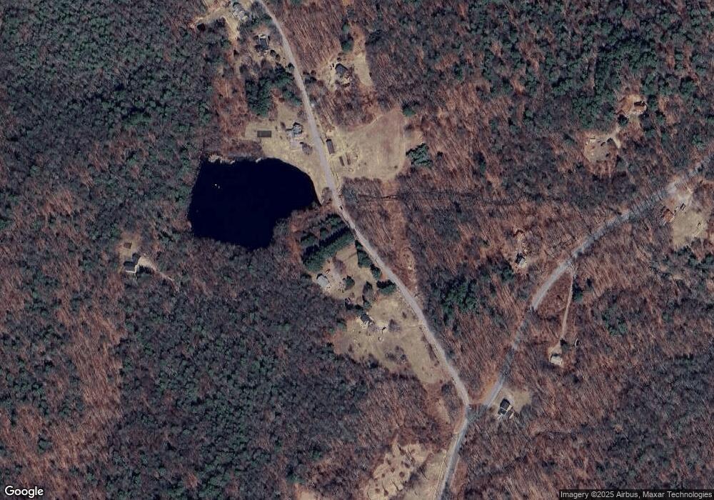
113 Laurel Way Winsted, CT 06098
Estimated Value: $383,999 - $433,000
4
Beds
2
Baths
1,570
Sq Ft
$263/Sq Ft
Est. Value
About This Home
This home is located at 113 Laurel Way, Winsted, CT 06098 and is currently estimated at $413,000, approximately $263 per square foot. 113 Laurel Way is a home located in Litchfield County.
Ownership History
Date
Name
Owned For
Owner Type
Purchase Details
Closed on
Jun 9, 2011
Sold by
Bardino Mark A and Bardino Robin L
Bought by
Hoving Willem K and Hoving Christina K
Current Estimated Value
Home Financials for this Owner
Home Financials are based on the most recent Mortgage that was taken out on this home.
Original Mortgage
$59,000
Outstanding Balance
$41,015
Interest Rate
4.81%
Estimated Equity
$371,985
Purchase Details
Closed on
Nov 30, 2000
Sold by
Meneguzzo Joseph M and Meneguzzo Patricia M
Bought by
Bardino Mark A and Bardino Robin L
Purchase Details
Closed on
Aug 31, 1993
Sold by
Beresford Patricia H
Bought by
Meneguzzo Joseph M and Meneguzzo Patricia M
Create a Home Valuation Report for This Property
The Home Valuation Report is an in-depth analysis detailing your home's value as well as a comparison with similar homes in the area
Home Values in the Area
Average Home Value in this Area
Purchase History
| Date | Buyer | Sale Price | Title Company |
|---|---|---|---|
| Hoving Willem K | $222,000 | -- | |
| Hoving Willem K | $222,000 | -- | |
| Bardino Mark A | $165,000 | -- | |
| Bardino Mark A | $165,000 | -- | |
| Meneguzzo Joseph M | $147,000 | -- | |
| Meneguzzo Joseph M | $147,000 | -- |
Source: Public Records
Mortgage History
| Date | Status | Borrower | Loan Amount |
|---|---|---|---|
| Open | Hoving Willem K | $59,000 | |
| Closed | Meneguzzo Joseph M | $59,000 | |
| Previous Owner | Meneguzzo Joseph M | $208,000 |
Source: Public Records
Tax History Compared to Growth
Tax History
| Year | Tax Paid | Tax Assessment Tax Assessment Total Assessment is a certain percentage of the fair market value that is determined by local assessors to be the total taxable value of land and additions on the property. | Land | Improvement |
|---|---|---|---|---|
| 2025 | $5,848 | $200,480 | $51,450 | $149,030 |
| 2024 | $5,461 | $200,480 | $51,450 | $149,030 |
| 2023 | $5,291 | $200,480 | $51,450 | $149,030 |
| 2022 | $4,740 | $141,330 | $37,870 | $103,460 |
| 2021 | $4,740 | $141,330 | $37,870 | $103,460 |
| 2020 | $4,740 | $141,330 | $37,870 | $103,460 |
| 2019 | $4,825 | $143,850 | $37,870 | $105,980 |
| 2018 | $4,825 | $143,850 | $37,870 | $105,980 |
| 2017 | $4,642 | $138,390 | $37,870 | $100,520 |
| 2016 | $4,642 | $138,390 | $37,870 | $100,520 |
| 2015 | $4,525 | $138,390 | $37,870 | $100,520 |
| 2014 | $4,416 | $138,390 | $37,870 | $100,520 |
Source: Public Records
Map
Nearby Homes
- 393 Winchester Rd
- 00 Chapel Rd
- 440 Platt Hill Rd
- 431 W Wakefield Blvd
- 117 South Rd
- 469 Platt Hill Rd
- 843-845 (lots - 10A, E Wakefield Blvd
- 605 E Wakefield Blvd
- 119 W Wakefield Blvd
- 156 Lincoln Ave
- 105,107 E Mountain Rd
- 722 Lake Dr
- 107 Peck Rd
- 819 E Wakefield Blvd
- 77 Hubbard St
- 124 Rockwell St
- 000000 Norfolk Rd
- 99 Hubbard St
- 9 John St
- 106 Rockwell St
- 111 Laurel Way
- 119 Laurel Way
- 109 Laurel Way
- 121 Laurel Way
- 114 Laurel Way
- 105 Laurel Way
- 130 Laurel Way
- 103 Laurel Way
- 134 Laurel Way
- 136 Laurel Way
- 101 Laurel Way
- 137 Laurel Way
- 398 Platt Hill Rd
- 133 Laurel Way
- 405 Winchester Rd
- 123 Laurel Way
- 129 Laurel Way
- 120 Laurel Way
- 138 Laurel Way
- 126 Laurel Way
