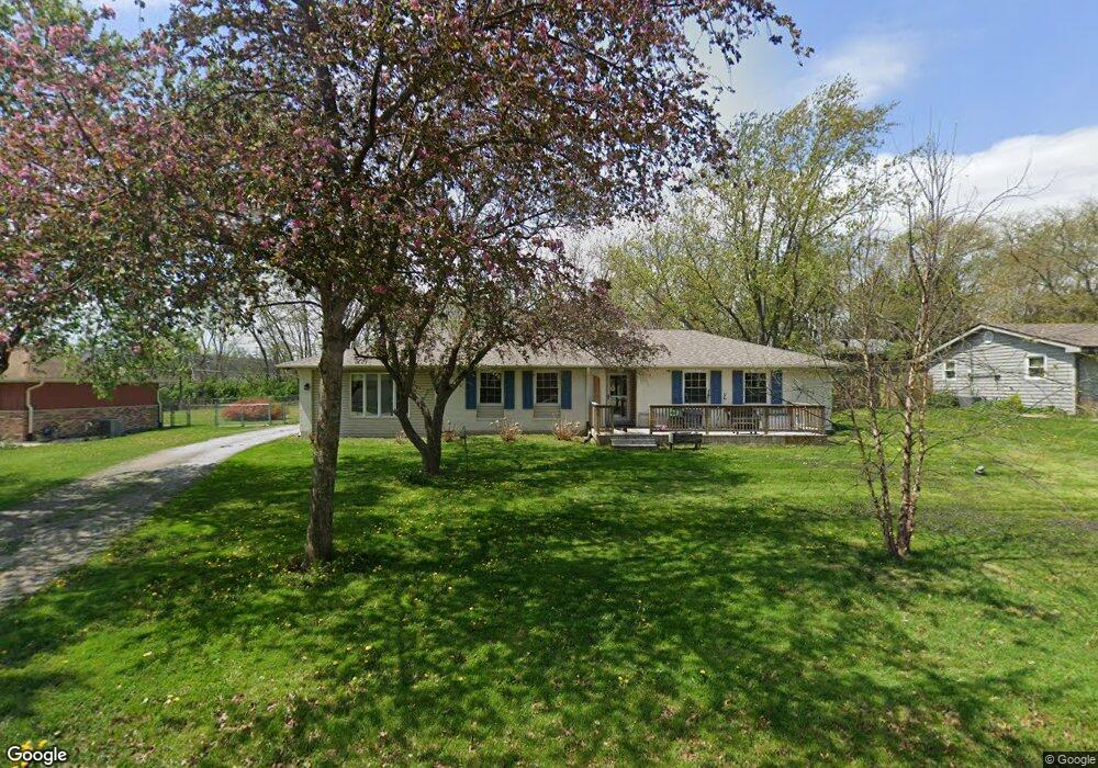
113 Lincolnway Dr New Lenox, IL 60451
Estimated Value: $370,000 - $423,000
3
Beds
3
Baths
1,800
Sq Ft
$216/Sq Ft
Est. Value
About This Home
This home is located at 113 Lincolnway Dr, New Lenox, IL 60451 and is currently estimated at $389,458, approximately $216 per square foot. 113 Lincolnway Dr is a home located in Will County with nearby schools including Bentley Elementary School, Arnold J Tyler School, and Alex M Martino Jr High School.
Ownership History
Date
Name
Owned For
Owner Type
Purchase Details
Closed on
Apr 22, 2012
Sold by
Higgason Bernadette
Bought by
Richardson Brandon T
Current Estimated Value
Home Financials for this Owner
Home Financials are based on the most recent Mortgage that was taken out on this home.
Original Mortgage
$180,500
Outstanding Balance
$124,556
Interest Rate
3.89%
Mortgage Type
New Conventional
Estimated Equity
$264,902
Purchase Details
Closed on
Nov 1, 2005
Sold by
Ertman Ronald J and Ertman Judith L
Bought by
Higgason Bernadette
Home Financials for this Owner
Home Financials are based on the most recent Mortgage that was taken out on this home.
Original Mortgage
$200,000
Interest Rate
5.98%
Mortgage Type
Fannie Mae Freddie Mac
Create a Home Valuation Report for This Property
The Home Valuation Report is an in-depth analysis detailing your home's value as well as a comparison with similar homes in the area
Home Values in the Area
Average Home Value in this Area
Purchase History
| Date | Buyer | Sale Price | Title Company |
|---|---|---|---|
| Richardson Brandon T | $190,000 | Stewart Title Company | |
| Higgason Bernadette | $250,000 | Chicago Title Insurance Co |
Source: Public Records
Mortgage History
| Date | Status | Borrower | Loan Amount |
|---|---|---|---|
| Open | Richardson Brandon T | $180,500 | |
| Previous Owner | Higgason Bernadette | $200,000 |
Source: Public Records
Tax History Compared to Growth
Tax History
| Year | Tax Paid | Tax Assessment Tax Assessment Total Assessment is a certain percentage of the fair market value that is determined by local assessors to be the total taxable value of land and additions on the property. | Land | Improvement |
|---|---|---|---|---|
| 2024 | $6,959 | $96,940 | $29,092 | $67,848 |
| 2023 | $6,959 | $88,369 | $26,520 | $61,849 |
| 2022 | $6,290 | $81,408 | $24,431 | $56,977 |
| 2021 | $5,963 | $76,562 | $22,977 | $53,585 |
| 2020 | $5,786 | $73,830 | $22,157 | $51,673 |
| 2019 | $5,530 | $71,541 | $21,470 | $50,071 |
| 2018 | $5,395 | $69,075 | $20,730 | $48,345 |
| 2017 | $5,116 | $67,089 | $20,134 | $46,955 |
| 2016 | $4,961 | $65,293 | $19,595 | $45,698 |
| 2015 | $4,765 | $63,238 | $18,978 | $44,260 |
| 2014 | $4,765 | $62,458 | $18,744 | $43,714 |
| 2013 | $4,765 | $67,032 | $18,997 | $48,035 |
Source: Public Records
Map
Nearby Homes
- 125 N Anderson Rd
- 1212 Georgias Way
- 214 Somerset Ct
- 1245 Georgias Way
- 1193 Georgias Way
- 1351 E Lincoln Hwy
- 1139 Georgias Way
- 513 Somerset Ln
- 1017 E Lincoln Hwy
- 449 Somerset Ln Unit 1
- 1125 Georgias Way
- 621 Chatfield Rd
- 1535 Glenbrooke Ln
- 641 Lisson Grove
- 701 Bishops Gate
- 1920 Tessington Ct
- 1931 Tessington Ct
- 821 Chatfield Rd
- 1108 Plaza Dr
- 12932 Carrington Ct
- 103 Lincolnway Dr
- 117 Lincolnway Dr
- 121 Lincolnway Dr
- 110 Lincolnway Dr
- 933 Shirley Pkwy
- 20 N Anderson Rd
- 924 Herr Dr
- 104 Lincolnway Dr Unit 1
- 101 Lincolnway Dr
- 936 Shirley Pkwy
- 918 Herr Dr
- 937 Shirley Pkwy Unit 1
- 932 Herr Dr
- 940 Herr Dr
- 110 N Anderson Rd
- 943 Shirley Pkwy
- 130 N Anderson Rd
- 919 Herr Dr
- 944 Herr Dr Unit 1
- 956 Shirley Pkwy