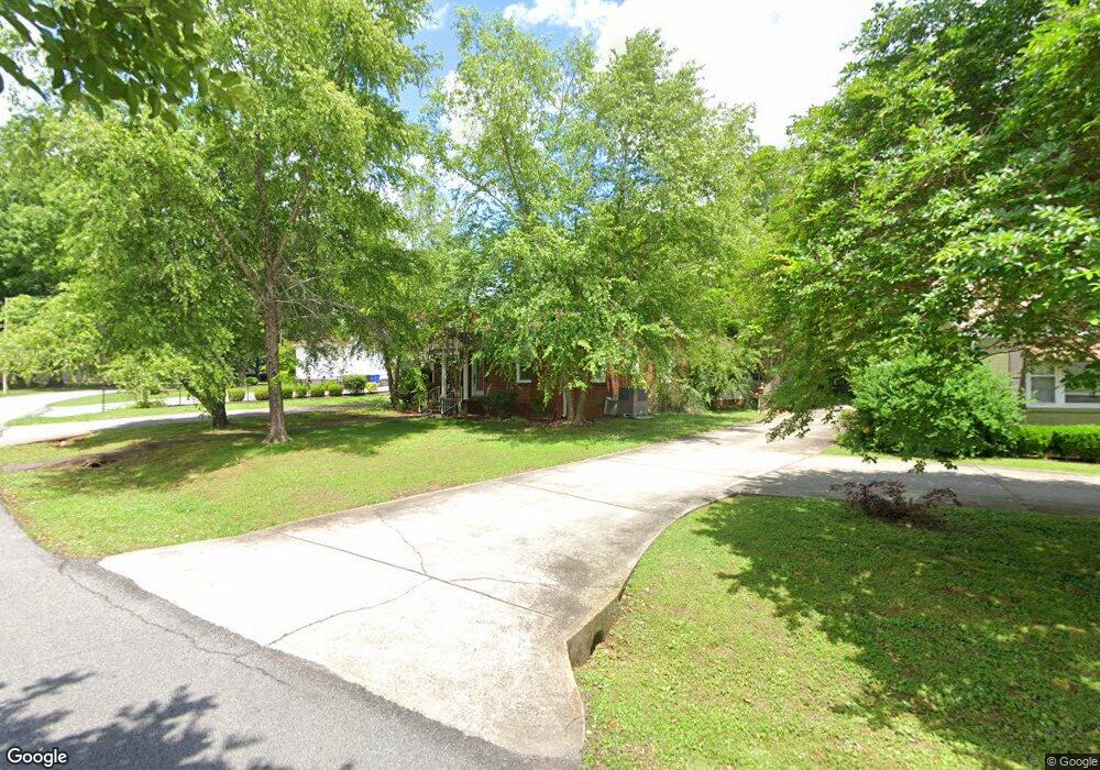
113 Malone Cir Athens, AL 35611
Estimated Value: $221,000 - $250,000
--
Bed
--
Bath
1,900
Sq Ft
$125/Sq Ft
Est. Value
About This Home
This home is located at 113 Malone Cir, Athens, AL 35611 and is currently estimated at $236,756, approximately $124 per square foot. 113 Malone Cir is a home with nearby schools including Athens Elementary School, Athens Intermediate School, and Athens Middle School.
Ownership History
Date
Name
Owned For
Owner Type
Purchase Details
Closed on
Sep 29, 2008
Sold by
Cantor Clyde
Bought by
Lewis Arthur Wayne and Lewis Beverly H
Current Estimated Value
Purchase Details
Closed on
Jul 18, 2007
Sold by
Johnson Glenn E
Bought by
Cantor Clyde F
Home Financials for this Owner
Home Financials are based on the most recent Mortgage that was taken out on this home.
Original Mortgage
$73,600
Interest Rate
6.65%
Create a Home Valuation Report for This Property
The Home Valuation Report is an in-depth analysis detailing your home's value as well as a comparison with similar homes in the area
Home Values in the Area
Average Home Value in this Area
Purchase History
| Date | Buyer | Sale Price | Title Company |
|---|---|---|---|
| Lewis Arthur Wayne | -- | -- | |
| Cantor Clyde F | $92,000 | -- |
Source: Public Records
Mortgage History
| Date | Status | Borrower | Loan Amount |
|---|---|---|---|
| Previous Owner | Cantor Clyde F | $73,600 |
Source: Public Records
Tax History Compared to Growth
Tax History
| Year | Tax Paid | Tax Assessment Tax Assessment Total Assessment is a certain percentage of the fair market value that is determined by local assessors to be the total taxable value of land and additions on the property. | Land | Improvement |
|---|---|---|---|---|
| 2024 | -- | $20,060 | $0 | $0 |
| 2023 | $0 | $19,000 | $0 | $0 |
| 2022 | $0 | $15,340 | $0 | $0 |
| 2021 | $427 | $13,540 | $0 | $0 |
| 2020 | $402 | $12,820 | $0 | $0 |
| 2019 | $374 | $11,980 | $0 | $0 |
| 2018 | $339 | $10,940 | $0 | $0 |
| 2017 | $339 | $10,940 | $0 | $0 |
| 2016 | $339 | $109,300 | $0 | $0 |
| 2015 | $339 | $10,940 | $0 | $0 |
| 2014 | -- | $0 | $0 | $0 |
Source: Public Records
Map
Nearby Homes
- 106 S Houston St
- 404 N Madison St
- 304 Colbert St
- 501 S Houston St
- 600 Gale Ln
- 601 Grace Ave
- 807 N Madison St
- 100 James Bowie Dr
- 401 S Clinton St
- 1404 Tower St
- 508 4th St
- 1302 Tommy Ln
- 5.47 +/- ACRES Forrest St
- 706 Meadowview St
- 1408 Plato Jones St
- 105 Canterbury Cir
- 110 Santana Dr
- 106 Hammons St
- 402 6th St
- 202 Santana Dr
- 115 Malone Cir
- 109 Malone Cir
- 117 Malone Cir
- 107 Malone Cir
- 112 Malone Cir
- 114 Malone Cir
- 110 Malone Cir
- 116 Malone Cir
- 207 N Houston St
- 507 Patton Cir
- 505 Patton Cir
- 509 Patton Cir
- 104 Malone Cir
- 108 Malone Cir
- 511 Patton Cir
- 209 N Malone St
- 211 N Malone St
- 301 N Houston St
- 203 N Malone St
- 500 Patton Cir