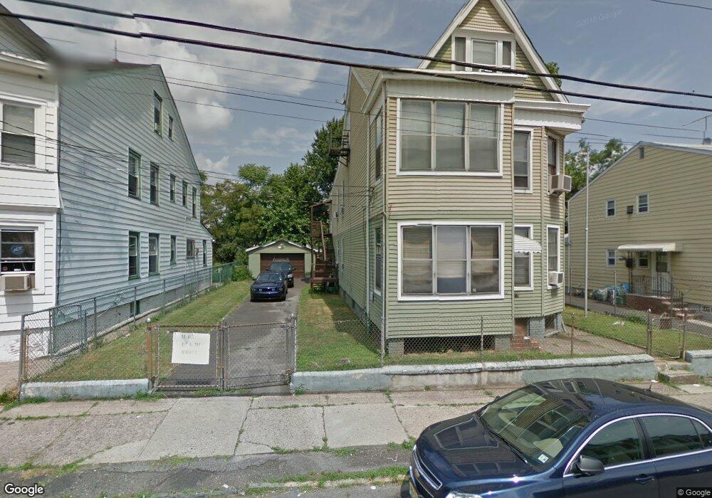
113 Maple St Unit 115 Paterson, NJ 07522
Totowa Section NeighborhoodEstimated Value: $613,874 - $753,000
--
Bed
--
Bath
2,762
Sq Ft
$247/Sq Ft
Est. Value
About This Home
This home is located at 113 Maple St Unit 115, Paterson, NJ 07522 and is currently estimated at $681,219, approximately $246 per square foot. 113 Maple St Unit 115 is a home located in Passaic County with nearby schools including Dale Avenue Elementary School, Edward W. Kilpatrick School of Discovery, and Paterson Public School No. 5.
Ownership History
Date
Name
Owned For
Owner Type
Purchase Details
Closed on
Oct 30, 2015
Sold by
Gruppo Jacquelyn
Bought by
Ahmed Showkat
Current Estimated Value
Home Financials for this Owner
Home Financials are based on the most recent Mortgage that was taken out on this home.
Original Mortgage
$277,382
Outstanding Balance
$220,589
Interest Rate
4.12%
Mortgage Type
FHA
Estimated Equity
$460,630
Purchase Details
Closed on
Sep 13, 2006
Sold by
Exrx Jacquelyn Gruppo
Bought by
Gruppo Jacquelyn
Create a Home Valuation Report for This Property
The Home Valuation Report is an in-depth analysis detailing your home's value as well as a comparison with similar homes in the area
Home Values in the Area
Average Home Value in this Area
Purchase History
| Date | Buyer | Sale Price | Title Company |
|---|---|---|---|
| Ahmed Showkat | $282,500 | None Available | |
| Gruppo Jacquelyn | -- | -- |
Source: Public Records
Mortgage History
| Date | Status | Borrower | Loan Amount |
|---|---|---|---|
| Open | Ahmed Showkat | $277,382 |
Source: Public Records
Tax History Compared to Growth
Tax History
| Year | Tax Paid | Tax Assessment Tax Assessment Total Assessment is a certain percentage of the fair market value that is determined by local assessors to be the total taxable value of land and additions on the property. | Land | Improvement |
|---|---|---|---|---|
| 2025 | $11,698 | $229,600 | $61,000 | $168,600 |
| 2024 | $11,257 | $229,600 | $61,000 | $168,600 |
| 2022 | $10,658 | $229,600 | $61,000 | $168,600 |
| 2021 | $10,277 | $229,600 | $61,000 | $168,600 |
| 2020 | $9,586 | $229,600 | $61,000 | $168,600 |
| 2019 | $9,194 | $222,400 | $57,700 | $164,700 |
| 2018 | $9,491 | $219,400 | $57,300 | $162,100 |
| 2017 | $9,056 | $217,700 | $57,000 | $160,700 |
| 2016 | $9,975 | $229,900 | $60,000 | $169,900 |
| 2015 | $9,444 | $229,900 | $60,000 | $169,900 |
| 2014 | $12,641 | $435,900 | $189,500 | $246,400 |
Source: Public Records
Map
Nearby Homes
- 241 Liberty St
- 371 Totowa Ave Unit 373
- 72-74 Maple St
- 63 Front St
- 288 Totowa Ave
- 41-43 Paterson Ave
- 48 Jasper St
- 195 Preakness Ave
- 94 Manchester Ave
- 19 Market St Unit 405
- 25-27 Rossiter Ave
- 18 Market St Unit 301
- 25 Rossiter Ave Unit 27
- 194-196 Union Ave
- 105 Marion St Unit 18
- 100 Albion Ave
- 22 Cianci St
- 111 Marion St Unit 18
- 53-55 Henderson St
- 53 Henderson St Unit 55
- 115 Maple St
- 117 Maple St Unit 121
- 111 Maple St
- 117-121 Maple St
- 42 Paterson Ave
- 123 Maple St
- 176 Walnut St
- 178 Walnut St
- 114 Maple St Unit 116
- 118 Maple St Unit 120
- 51 Ryle Ave
- 180 Walnut St
- 172 Walnut St Unit 174
- 182 Walnut St
- 44 Paterson Ave
- 112 Maple St
- 46 Paterson Ave
- 122 Maple St
- 48 Paterson Ave
- 125 Maple St Unit 127