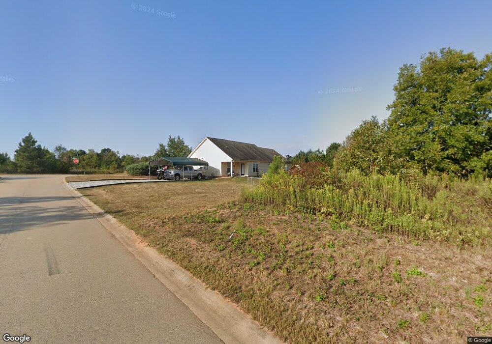
113 Meadowbrooke Dr Milner, GA 30257
Estimated Value: $260,000 - $318,000
3
Beds
2
Baths
1,383
Sq Ft
$203/Sq Ft
Est. Value
About This Home
This home is located at 113 Meadowbrooke Dr, Milner, GA 30257 and is currently estimated at $280,594, approximately $202 per square foot. 113 Meadowbrooke Dr is a home located in Lamar County with nearby schools including Lamar County Primary School, Lamar County Elementary School, and Lamar County Middle School.
Ownership History
Date
Name
Owned For
Owner Type
Purchase Details
Closed on
May 20, 2011
Sold by
First State Bank
Bought by
Turner Arthur Barry
Current Estimated Value
Purchase Details
Closed on
Apr 26, 2011
Sold by
First State Bank
Bought by
Turner Arthur Barry
Purchase Details
Closed on
Dec 2, 2008
Sold by
Petra American Homes Inc
Bought by
First State Bank
Purchase Details
Closed on
Jun 27, 2006
Sold by
Not Provided
Bought by
Turner Arthur Barry
Create a Home Valuation Report for This Property
The Home Valuation Report is an in-depth analysis detailing your home's value as well as a comparison with similar homes in the area
Home Values in the Area
Average Home Value in this Area
Purchase History
| Date | Buyer | Sale Price | Title Company |
|---|---|---|---|
| Turner Arthur Barry | $77,000 | -- | |
| Turner Arthur Barry | $77,000 | -- | |
| First State Bank | -- | -- | |
| Turner Arthur Barry | $26,500 | -- |
Source: Public Records
Tax History Compared to Growth
Tax History
| Year | Tax Paid | Tax Assessment Tax Assessment Total Assessment is a certain percentage of the fair market value that is determined by local assessors to be the total taxable value of land and additions on the property. | Land | Improvement |
|---|---|---|---|---|
| 2024 | $2,655 | $88,982 | $7,000 | $81,982 |
| 2023 | $2,687 | $84,345 | $7,000 | $77,345 |
| 2022 | $2,086 | $75,573 | $7,000 | $68,573 |
| 2021 | $2,035 | $67,678 | $7,000 | $60,678 |
| 2020 | $1,226 | $38,723 | $3,000 | $35,723 |
| 2019 | $1,229 | $38,723 | $3,000 | $35,723 |
| 2018 | $1,180 | $38,723 | $3,000 | $35,723 |
| 2017 | $1,174 | $38,723 | $3,000 | $35,723 |
| 2016 | $1,174 | $38,723 | $3,000 | $35,723 |
| 2015 | $1,172 | $38,723 | $3,000 | $35,723 |
| 2014 | $1,166 | $39,723 | $4,000 | $35,723 |
| 2013 | -- | $39,723 | $4,000 | $35,723 |
Source: Public Records
Map
Nearby Homes
- 143 Meadowbrooke Dr
- 116 Moore St
- 186 Liberty Hill Rd
- 128 Savannah Way
- 841 Old Milner Rd
- 0 Main St Unit 10586668
- 0 Main St Unit 10585681
- 0 Magnolia Trace Unit 10551135
- 0 Magnolia Trace Unit 7604351
- 118 Charleston Ln
- 117 Charleston Ln
- 105 Zebulon St
- 117 Zebulon St
- 104 Maple Dr
- 603 Silver Dollar Rd
- 126 Catalpa Rd
- 130 Catalpa Rd
- 704 Old Milner Rd
- 130 Maple Dr
- V L Silver Dollar Rd
- 117 Meadowbrooke Dr
- 109 Belleflower Way
- 179 Meadowbrooke Dr
- 175 Meadowbrooke Dr
- 171 Meadowbrooke Dr
- 110 Meadowbrooke Dr
- 118 Meadowbrooke Dr
- 107 Belleflower Way Unit 66
- 105 Belleflower Way
- 121 Meadowbrooke Dr
- 105 Meadowbrooke Dr
- 109 Meadowbrooke Dr
- 106 Meadowbrooke Dr
- 122 Meadowbrooke Dr
- 111 Belleflower Way
- 206 Meadowbrooke Dr
- 202 Meadowbrooke Dr
- 125 Meadowbrooke Dr
- 198 Meadowbrooke Dr
- 104 Meadowbrooke Dr