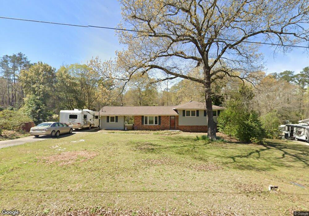
113 Michael St Bonaire, GA 31005
Estimated Value: $155,564 - $187,000
--
Bed
2
Baths
1,267
Sq Ft
$138/Sq Ft
Est. Value
About This Home
This home is located at 113 Michael St, Bonaire, GA 31005 and is currently estimated at $175,141, approximately $138 per square foot. 113 Michael St is a home located in Houston County with nearby schools including Bonaire Elementary School, Huntington Middle School, and Warner Robins High School.
Ownership History
Date
Name
Owned For
Owner Type
Purchase Details
Closed on
Nov 20, 2009
Sold by
Simmons Norman E
Bought by
Simmons Carlynn F
Current Estimated Value
Purchase Details
Closed on
May 12, 1986
Sold by
Swain David K and Tracy M*
Bought by
Simmons Norman E and Carlynn F*
Purchase Details
Closed on
Nov 19, 1982
Sold by
Chesser Mary S
Bought by
Swain David K and Tracy M*
Purchase Details
Closed on
Jul 2, 1981
Sold by
Chesser Terry P and Chesser Mary S
Bought by
Chesser Mary S
Purchase Details
Closed on
Jun 27, 1966
Bought by
Chesser Terry P and Chesser Mary S
Create a Home Valuation Report for This Property
The Home Valuation Report is an in-depth analysis detailing your home's value as well as a comparison with similar homes in the area
Home Values in the Area
Average Home Value in this Area
Purchase History
| Date | Buyer | Sale Price | Title Company |
|---|---|---|---|
| Simmons Carlynn F | -- | -- | |
| Simmons Norman E | $50,000 | -- | |
| Swain David K | $32,000 | -- | |
| Chesser Mary S | -- | -- | |
| Chesser Terry P | $16,500 | -- |
Source: Public Records
Tax History Compared to Growth
Tax History
| Year | Tax Paid | Tax Assessment Tax Assessment Total Assessment is a certain percentage of the fair market value that is determined by local assessors to be the total taxable value of land and additions on the property. | Land | Improvement |
|---|---|---|---|---|
| 2024 | $992 | $43,480 | $5,840 | $37,640 |
| 2023 | $817 | $35,800 | $5,840 | $29,960 |
| 2022 | $764 | $33,600 | $5,840 | $27,760 |
| 2021 | $681 | $30,040 | $5,840 | $24,200 |
| 2020 | $680 | $29,840 | $5,840 | $24,000 |
| 2019 | $680 | $29,840 | $5,840 | $24,000 |
| 2018 | $680 | $29,840 | $5,840 | $24,000 |
| 2017 | $680 | $29,840 | $5,840 | $24,000 |
| 2016 | $681 | $29,840 | $5,840 | $24,000 |
| 2015 | $681 | $29,840 | $5,840 | $24,000 |
| 2014 | -- | $30,360 | $5,840 | $24,520 |
| 2013 | -- | $30,360 | $5,840 | $24,520 |
Source: Public Records
Map
Nearby Homes
- 307 Fleming Dr
- 0 Michael Ct Unit 10532063
- 0 Michael Ct Unit 179429
- 0 Michael Ct Unit 252716
- 202 Sandy Run Rd
- 104 Old Perry Rd
- 106 Mulligan Ct
- 114 Saint Augustine Dr
- 204 Thornton Dr
- 108 Savannah Ln
- 109 Harmony Path
- 102 Harmony Path
- 100 Deerwood Dr
- 305 Edgarton Way
- 107 Shadowood Dr
- 91 Stathams Way
- 315 Apalachee Way
- 503 Edgarton Way
- 111 Michael St
- 115 Michael St
- 112 Michael St
- 117 Michael St
- 0 Michael St Unit 7197870
- 0 Michael St Unit 7104421
- 114 Michael St
- 110 Michael St
- 119 Michael St
- 107 Michael St
- 307 Fleming Dr
- 301 Fleming Dr
- 303 Fleming Dr
- 305 Fleming Dr
- 211 Fleming
- 211 Fleming Dr
- 106 Michael St
- 209 Fleming Dr
- 121 Michael St
- 105 Michael St