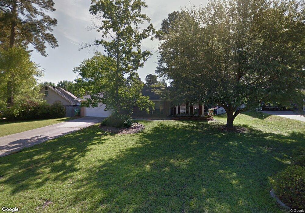
113 Mohawk Cir West Monroe, LA 71291
Estimated Value: $213,000 - $232,000
3
Beds
2
Baths
1,478
Sq Ft
$149/Sq Ft
Est. Value
About This Home
This home is located at 113 Mohawk Cir, West Monroe, LA 71291 and is currently estimated at $219,746, approximately $148 per square foot. 113 Mohawk Cir is a home located in Ouachita Parish with nearby schools including Drew Elementary School, West Ridge Middle School, and West Monroe High School.
Ownership History
Date
Name
Owned For
Owner Type
Purchase Details
Closed on
Aug 4, 2016
Sold by
Bryan Elizabeth Alane and Bryan David Garland
Bought by
Gross Thomas Earl and Gross Susan Caskey
Current Estimated Value
Home Financials for this Owner
Home Financials are based on the most recent Mortgage that was taken out on this home.
Original Mortgage
$137,000
Outstanding Balance
$109,062
Interest Rate
3.41%
Mortgage Type
New Conventional
Estimated Equity
$110,684
Create a Home Valuation Report for This Property
The Home Valuation Report is an in-depth analysis detailing your home's value as well as a comparison with similar homes in the area
Home Values in the Area
Average Home Value in this Area
Purchase History
| Date | Buyer | Sale Price | Title Company |
|---|---|---|---|
| Gross Thomas Earl | $160,000 | Attorney |
Source: Public Records
Mortgage History
| Date | Status | Borrower | Loan Amount |
|---|---|---|---|
| Open | Gross Thomas Earl | $137,000 |
Source: Public Records
Tax History Compared to Growth
Tax History
| Year | Tax Paid | Tax Assessment Tax Assessment Total Assessment is a certain percentage of the fair market value that is determined by local assessors to be the total taxable value of land and additions on the property. | Land | Improvement |
|---|---|---|---|---|
| 2024 | $992 | $18,245 | $3,000 | $15,245 |
| 2023 | $992 | $15,232 | $3,000 | $12,232 |
| 2022 | $1,351 | $15,232 | $3,000 | $12,232 |
| 2021 | $1,368 | $15,232 | $3,000 | $12,232 |
| 2020 | $1,368 | $15,232 | $3,000 | $12,232 |
| 2019 | $1,229 | $13,726 | $2,500 | $11,226 |
| 2018 | $558 | $13,726 | $2,500 | $11,226 |
| 2017 | $1,229 | $13,726 | $2,500 | $11,226 |
| 2016 | $1,229 | $13,726 | $2,500 | $11,226 |
| 2015 | $556 | $13,726 | $2,500 | $11,226 |
| 2014 | $556 | $13,726 | $2,500 | $11,226 |
| 2013 | $554 | $13,726 | $2,500 | $11,226 |
Source: Public Records
Map
Nearby Homes
- 100 Aspen Cir
- 110 Fox Run Unit 110 Fox run
- 127 Henry Rd
- 830 Ole Highway 15
- 107 Sioux Dr
- 150 Ingram Rd
- 000 Strozier Rd
- 149 Comanche Trail
- 123 Baytree Dr
- 158 Rex Robertson Rd
- 112 Hillside Cir
- 106 Brooks Ln
- 0 Bonnabel Place
- 865 Johnson Rd
- 107 Bonnabel Place
- 108 Comanche Trail
- 171 Chimney Hill Rd
- 00 Lou Dr
- 0 Lou Dr
- 300 Hillside Cir
- 115 Mohawk Cir
- 111 Mohawk Cir
- 117 Mohawk Cir
- 102 Andover Cir
- 116 Mohawk Cir
- 118 Mohawk Cir
- 114 Mohawk Cir
- 107 Andover Cir
- 119 Mohawk Cir
- 108 Mohawk Cir
- 112 Mohawk Cir
- 105 Andover Cir
- 103 Mohawk Cir
- 120 Mohawk Cir
- 106 Mohawk Cir
- 110 Mohawk Cir
- 121 Mohawk Cir
- 122 Mohawk Cir
- 106 Greenbriar Dr
- 104 Mohawk Cir