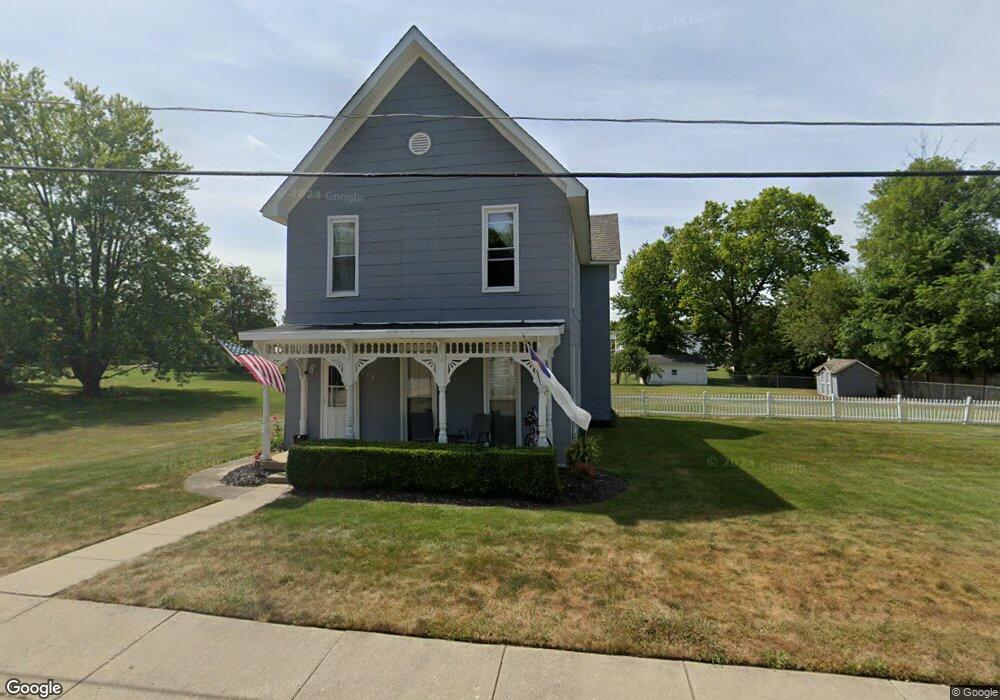
113 Monfort St College Corner, OH 45003
Estimated Value: $121,000 - $185,000
3
Beds
2
Baths
1,888
Sq Ft
$84/Sq Ft
Est. Value
About This Home
This home is located at 113 Monfort St, College Corner, OH 45003 and is currently estimated at $159,352, approximately $84 per square foot. 113 Monfort St is a home located in Butler County with nearby schools including College Corner Union Elementary School and Mcguffey Montessori School.
Ownership History
Date
Name
Owned For
Owner Type
Purchase Details
Closed on
Jun 1, 1998
Sold by
Mesler Myron A
Bought by
Hampton David A and Hampton Cheryl A
Current Estimated Value
Home Financials for this Owner
Home Financials are based on the most recent Mortgage that was taken out on this home.
Original Mortgage
$76,687
Outstanding Balance
$15,636
Interest Rate
7.27%
Mortgage Type
FHA
Estimated Equity
$143,716
Purchase Details
Closed on
Jul 11, 1996
Sold by
Smith Ray
Bought by
Mesler Myron A
Create a Home Valuation Report for This Property
The Home Valuation Report is an in-depth analysis detailing your home's value as well as a comparison with similar homes in the area
Home Values in the Area
Average Home Value in this Area
Purchase History
| Date | Buyer | Sale Price | Title Company |
|---|---|---|---|
| Hampton David A | $76,500 | -- | |
| Mesler Myron A | $15,000 | -- |
Source: Public Records
Mortgage History
| Date | Status | Borrower | Loan Amount |
|---|---|---|---|
| Open | Hampton David A | $76,687 |
Source: Public Records
Tax History Compared to Growth
Tax History
| Year | Tax Paid | Tax Assessment Tax Assessment Total Assessment is a certain percentage of the fair market value that is determined by local assessors to be the total taxable value of land and additions on the property. | Land | Improvement |
|---|---|---|---|---|
| 2024 | $1,604 | $46,130 | $9,040 | $37,090 |
| 2023 | $1,614 | $46,130 | $9,040 | $37,090 |
| 2022 | $1,469 | $35,220 | $9,040 | $26,180 |
| 2021 | $1,384 | $35,220 | $9,040 | $26,180 |
| 2020 | $1,452 | $35,220 | $9,040 | $26,180 |
| 2019 | $1,886 | $29,390 | $9,840 | $19,550 |
| 2018 | $1,293 | $29,390 | $9,840 | $19,550 |
| 2017 | $1,293 | $29,390 | $9,840 | $19,550 |
| 2016 | $1,253 | $28,460 | $9,840 | $18,620 |
| 2015 | $1,210 | $28,460 | $9,840 | $18,620 |
| 2014 | $1,784 | $28,460 | $9,840 | $18,620 |
| 2013 | $1,784 | $40,380 | $9,840 | $30,540 |
Source: Public Records
Map
Nearby Homes
- 106 County Line Rd
- 4 Main St
- 209 Main St
- 400 Brookville St
- 218 Brookville St
- 212 Shideler St
- 8961 Walnut St
- 400 Union St
- 515 Liberty Ave
- 5395 Brookville Pike
- 5722 E Township Line Rd
- 4122 E Solar Dr
- 7870 Contreras Rd
- 6529 Todd Rd
- 2349 U S 27
- 215 Country Club Dr
- 7755 Fairfield Rd
- 5700 Forest Ridge Dr
- 9 Angela Ct
- 4 Olde Stone Ct