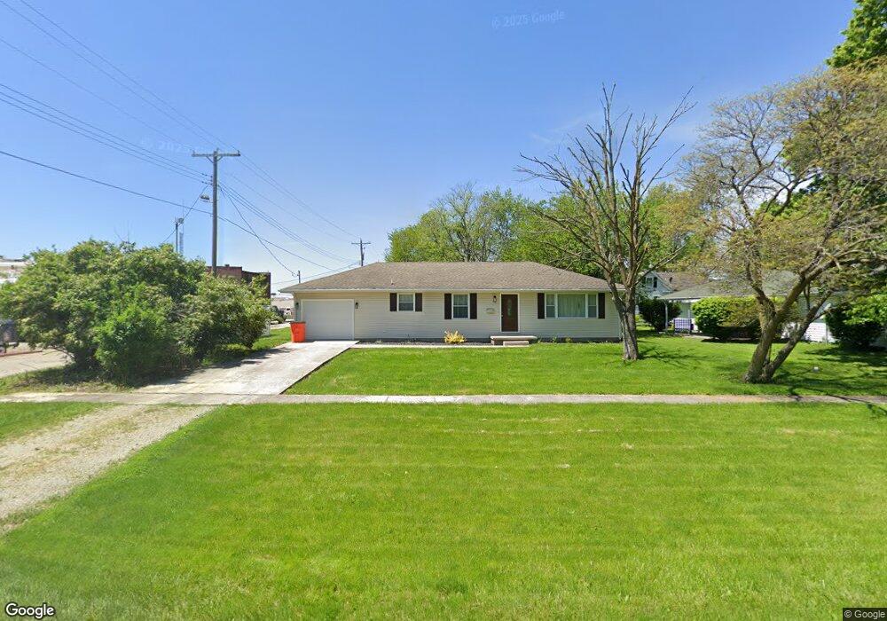
113 N Maple St Windsor, IL 61957
Estimated Value: $103,000 - $142,000
3
Beds
--
Bath
1,400
Sq Ft
$87/Sq Ft
Est. Value
About This Home
This home is located at 113 N Maple St, Windsor, IL 61957 and is currently estimated at $121,996, approximately $87 per square foot. 113 N Maple St is a home located in Shelby County with nearby schools including Windsor Elementary School and Windsor Junior/Senior High School.
Ownership History
Date
Name
Owned For
Owner Type
Purchase Details
Closed on
Mar 7, 2024
Sold by
Boyer Orvil D and Boyer Shelby N
Bought by
Rincker Peter H
Current Estimated Value
Home Financials for this Owner
Home Financials are based on the most recent Mortgage that was taken out on this home.
Original Mortgage
$63,270
Outstanding Balance
$62,165
Interest Rate
6.37%
Mortgage Type
Construction
Estimated Equity
$59,831
Purchase Details
Closed on
Oct 17, 2008
Bought by
William Douglas W and William Douglas Susan
Create a Home Valuation Report for This Property
The Home Valuation Report is an in-depth analysis detailing your home's value as well as a comparison with similar homes in the area
Purchase History
| Date | Buyer | Sale Price | Title Company |
|---|---|---|---|
| Rincker Peter H | $129,900 | First Il Title Grp | |
| William Douglas W | $77,500 | -- |
Source: Public Records
Mortgage History
| Date | Status | Borrower | Loan Amount |
|---|---|---|---|
| Open | Rincker Peter H | $63,270 |
Source: Public Records
Tax History
| Year | Tax Paid | Tax Assessment Tax Assessment Total Assessment is a certain percentage of the fair market value that is determined by local assessors to be the total taxable value of land and additions on the property. | Land | Improvement |
|---|---|---|---|---|
| 2024 | $1,932 | $38,167 | $5,377 | $32,790 |
| 2023 | $1,056 | $34,903 | $4,917 | $29,986 |
| 2022 | $1,108 | $31,794 | $4,479 | $27,315 |
| 2021 | $1,138 | $30,334 | $4,273 | $26,061 |
| 2020 | $1,169 | $30,334 | $4,273 | $26,061 |
| 2019 | $1,169 | $30,334 | $4,273 | $26,061 |
| 2018 | $1,204 | $28,170 | $3,968 | $24,202 |
| 2017 | $1,242 | $28,170 | $3,968 | $24,202 |
| 2016 | $1,242 | $28,170 | $3,968 | $24,202 |
| 2015 | -- | $28,170 | $3,968 | $24,202 |
| 2014 | -- | $28,170 | $3,968 | $24,202 |
| 2013 | -- | $28,170 | $3,968 | $24,202 |
Source: Public Records
Map
Nearby Homes
- 1011 Pennsylvania Ave
- 305 S Oak St
- 621 Broadway Ave
- 510 Ohio Ave
- 708 N Vine St
- 3192 Illinois 16
- 1197 County Highway 9
- 308 W N 2nd St
- 207 W Commercial St
- 108 W Commercial St
- 626 Cr 1700e
- 1412 South Shores
- 58 S Shores
- 122 South Shores
- 2244 E 1200 North Rd
- 1302 2200 East Rd
- Lot 19 Green Acres St
- Lot 10 Green Acres St
- Lot 9 Green Acres St
- 71 Lakeview Rd
- 1017 Broadway Ave
- 118 N Maple St
- 1000 and 1010 Maine St
- 1022 Maine St
- 122 N Pine St
- 1000 Broadway Ave
- 912 Maine St
- 915 Broadway Ave
- 1014 Broadway Ave
- 908 Maine St
- 1020 Broadway Ave
- 1013 Maine St
- 115 N Elm St
- 123 N Elm St
- 215 N Maple St
- 1104 Maine St
- 1009 Ohio Ave
- 1013 Ohio Ave
- 220 N Maple St
- 223 N Maple St
Your Personal Tour Guide
Ask me questions while you tour the home.