Estimated Value: $74,000 - $122,000
About This Home
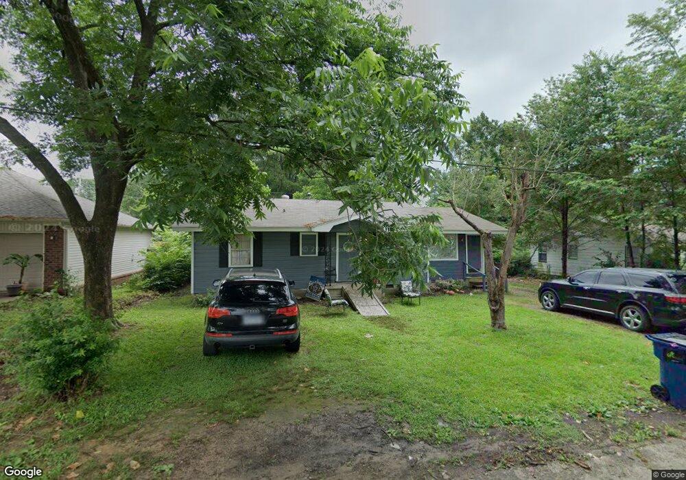
This home is located at 113 N Monroe St, Cabot, AR 72023 and is currently estimated at $89,341, approximately $69 per square foot. 113 N Monroe St is a home located in Lonoke County with nearby schools including Central Elementary School, Cabot Junior High North, and Cabot Middle School North.
Ownership History
We collect this data history from publicly available records. To have your information removed, we recommend requesting removal directly through your county’s website.
Purchase Details
Purchase Details
Purchase Details
Purchase Details
Purchase Details
Purchase Details
Purchase Details
Purchase Details
Purchase History
We collect this data history from publicly available records. To have your information removed, we recommend requesting removal directly through your county’s website.
| Date | Buyer | Sale Price | Title Company |
|---|---|---|---|
| $65,000 | -- | ||
| $74,000 | -- | ||
| -- | -- | ||
| $74,000 | -- | ||
| -- | -- | ||
| $50,000 | -- | ||
| $50,000 | -- | ||
| $48,000 | -- | ||
| -- | -- | ||
| -- | -- |
Tax History
We collect this data history from publicly available records. To have your information removed, we recommend requesting removal directly through your county’s website.
| Year | Tax Paid | Tax Assessment Tax Assessment Total Assessment is a certain percentage of the fair market value that is determined by local assessors to be the total taxable value of land and additions on the property. | Land | Improvement |
|---|---|---|---|---|
| 2025 | $549 | $10,780 | $1,200 | $9,580 |
| 2024 | $549 | $10,780 | $1,200 | $9,580 |
| 2023 | $549 | $10,780 | $1,200 | $9,580 |
| 2022 | $549 | $10,780 | $1,200 | $9,580 |
| 2021 | $549 | $10,780 | $1,200 | $9,580 |
| 2020 | $530 | $10,420 | $1,200 | $9,220 |
| 2019 | $530 | $10,420 | $1,200 | $9,220 |
| 2018 | $515 | $10,420 | $1,200 | $9,220 |
| 2017 | $478 | $10,420 | $1,200 | $9,220 |
| 2016 | $515 | $10,420 | $1,200 | $9,220 |
| 2015 | $529 | $10,700 | $1,200 | $9,500 |
| 2014 | $529 | $10,700 | $1,200 | $9,500 |
Map
- 113 Walnut St
- 29 Frances St
- 211 N Jackson St
- 111 S Jackson St
- 907 N Lincoln St
- 29 Meadowlark Dr
- 14 Meadowlark Dr
- 57 Meadowlark Dr
- 55 Robinson St
- 501 S Grant St
- 1002 Eastern Ave
- 19 Sycamore St
- 201 Honeysuckle Ln
- 55 Oak Meadows Dr
- 409 N 2nd St
- 407 Linda Ln
- 44 Red Oak Dr
- 210 W Cherry St
- 34 Bent Tree Dr
- 3072 E Main St
- 111 N Monroe St
- 201 N Monroe St
- 114 Walnut St
- 119 N Monroe St
- 112 N Monroe St
- 90 S Pine St
- 203 N Monroe St
- 112 Walnut St
- 204 N Monroe St
- 205 N Monroe St
- 107 N Monroe St
- 106 N Monroe St
- 0 Monroe Unit 16020074
- 206 N Monroe St
- 111 Walnut St
- 207 N Monroe St
- 92 S Pine St
- 86 S Pine St
- 105 N Monroe St
- 104 N Monroe St
Ask me questions while you tour the home.