113 Neel Ave Reisterstown, MD 21136
Estimated Value: $284,000 - $338,000
--
Bed
1
Bath
968
Sq Ft
$324/Sq Ft
Est. Value
About This Home
This home is located at 113 Neel Ave, Reisterstown, MD 21136 and is currently estimated at $313,297, approximately $323 per square foot. 113 Neel Ave is a home located in Baltimore County with nearby schools including Franklin Elementary School, Franklin Middle, and Franklin High.
Ownership History
Date
Name
Owned For
Owner Type
Purchase Details
Closed on
May 22, 2025
Sold by
Allen Sandra L and Allen Arthur Michael
Bought by
Allen Arthur Michael and Allen Sandra L
Current Estimated Value
Home Financials for this Owner
Home Financials are based on the most recent Mortgage that was taken out on this home.
Original Mortgage
$342,000
Outstanding Balance
$339,774
Interest Rate
4%
Mortgage Type
New Conventional
Estimated Equity
-$26,477
Purchase Details
Closed on
Jun 13, 2003
Sold by
Bennett Barbara M
Bought by
Allen Arthur Michael and Allen Sandra C
Purchase Details
Closed on
Jul 11, 1978
Sold by
Hobbs Elmer H
Bought by
Bennett Barbara M
Create a Home Valuation Report for This Property
The Home Valuation Report is an in-depth analysis detailing your home's value as well as a comparison with similar homes in the area
Home Values in the Area
Average Home Value in this Area
Purchase History
| Date | Buyer | Sale Price | Title Company |
|---|---|---|---|
| Allen Arthur Michael | -- | None Listed On Document | |
| Allen Arthur Michael | $152,500 | -- | |
| Bennett Barbara M | $44,000 | -- |
Source: Public Records
Mortgage History
| Date | Status | Borrower | Loan Amount |
|---|---|---|---|
| Open | Allen Arthur Michael | $342,000 |
Source: Public Records
Tax History Compared to Growth
Tax History
| Year | Tax Paid | Tax Assessment Tax Assessment Total Assessment is a certain percentage of the fair market value that is determined by local assessors to be the total taxable value of land and additions on the property. | Land | Improvement |
|---|---|---|---|---|
| 2025 | $2,784 | $225,867 | -- | -- |
| 2024 | $2,784 | $213,600 | $68,500 | $145,100 |
| 2023 | $1,344 | $205,733 | $0 | $0 |
| 2022 | $2,564 | $197,867 | $0 | $0 |
| 2021 | $22 | $190,000 | $68,500 | $121,500 |
| 2020 | $22 | $180,000 | $0 | $0 |
| 2019 | $2,060 | $170,000 | $0 | $0 |
| 2018 | $2,175 | $160,000 | $68,500 | $91,500 |
| 2017 | $22 | $160,000 | $0 | $0 |
| 2016 | $1,952 | $160,000 | $0 | $0 |
| 2015 | $1,952 | $162,100 | $0 | $0 |
| 2014 | $1,952 | $162,100 | $0 | $0 |
Source: Public Records
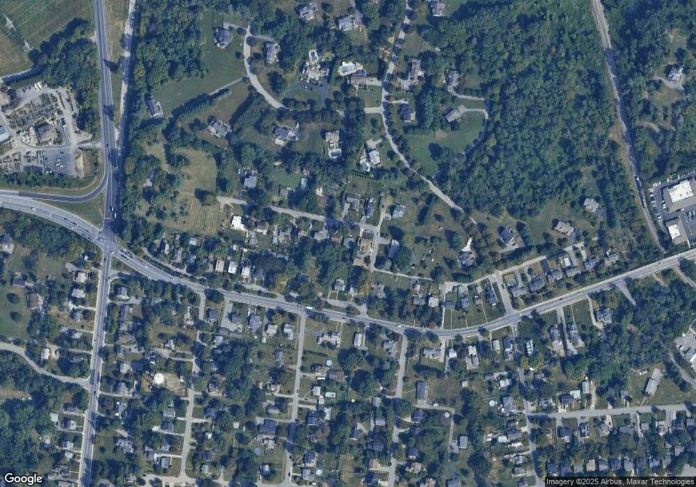
Map
Nearby Homes
- 7 Butler Rd
- 13943 B Old Hanover Rd
- 13943 C Old Hanover Rd
- 13943 D Old Hanover Rd
- 4 Wolf Ave
- 27 Farm Gate Way
- 131 Westminster Rd
- 246 Pidco Rd
- 2 Bowers Ln
- 209 Bentley Hill Dr
- 1 Forest Glen Ct
- 65A Bond Ave
- 19 Bond Ave
- 341 Central Ave
- 10 Pennyborough Ct
- 28 Goldsborough Way
- 15 Gloucester Ct
- 225 Northway Rd
- 13312 Hanover Pike
- 308 Sacred Heart Ln