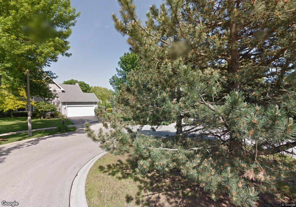
113 Old Barn Ct Buffalo Grove, IL 60089
Estimated Value: $671,417 - $749,000
--
Bed
3
Baths
2,646
Sq Ft
$272/Sq Ft
Est. Value
About This Home
This home is located at 113 Old Barn Ct, Buffalo Grove, IL 60089 and is currently estimated at $719,854, approximately $272 per square foot. 113 Old Barn Ct is a home located in Lake County with nearby schools including Meridian Middle School, Tripp Elementary School, and Aptakisic Junior High School.
Ownership History
Date
Name
Owned For
Owner Type
Purchase Details
Closed on
Jun 29, 2000
Sold by
Shapiro Svetlana
Bought by
Kwasman Steven J and Kwasman Gayle M
Current Estimated Value
Home Financials for this Owner
Home Financials are based on the most recent Mortgage that was taken out on this home.
Original Mortgage
$200,000
Outstanding Balance
$73,188
Interest Rate
8.55%
Estimated Equity
$646,666
Purchase Details
Closed on
Dec 30, 1999
Sold by
Shapiro Boris and Shapiro Svetlana
Bought by
Shapiro Svetlana
Create a Home Valuation Report for This Property
The Home Valuation Report is an in-depth analysis detailing your home's value as well as a comparison with similar homes in the area
Home Values in the Area
Average Home Value in this Area
Purchase History
| Date | Buyer | Sale Price | Title Company |
|---|---|---|---|
| Kwasman Steven J | $382,500 | -- | |
| Shapiro Svetlana | -- | Investors Title Guarantee In |
Source: Public Records
Mortgage History
| Date | Status | Borrower | Loan Amount |
|---|---|---|---|
| Open | Kwasman Steven J | $200,000 | |
| Closed | Kwasman Steven J | $106,000 |
Source: Public Records
Tax History Compared to Growth
Tax History
| Year | Tax Paid | Tax Assessment Tax Assessment Total Assessment is a certain percentage of the fair market value that is determined by local assessors to be the total taxable value of land and additions on the property. | Land | Improvement |
|---|---|---|---|---|
| 2024 | $17,096 | $192,873 | $51,511 | $141,362 |
| 2023 | $15,174 | $181,990 | $48,604 | $133,386 |
| 2022 | $15,174 | $166,314 | $44,417 | $121,897 |
| 2021 | $14,632 | $164,521 | $43,938 | $120,583 |
| 2020 | $14,347 | $165,082 | $44,088 | $120,994 |
| 2019 | $13,972 | $164,473 | $43,925 | $120,548 |
| 2018 | $14,530 | $172,016 | $47,750 | $124,266 |
| 2017 | $14,941 | $168,000 | $46,635 | $121,365 |
| 2016 | $15,287 | $170,116 | $44,657 | $125,459 |
| 2015 | $14,994 | $159,091 | $41,763 | $117,328 |
| 2014 | $13,608 | $143,373 | $44,853 | $98,520 |
| 2012 | $13,171 | $143,660 | $44,943 | $98,717 |
Source: Public Records
Map
Nearby Homes
- 1272 Sandhurst Dr
- 15 Thompson Ct
- 1012 Hobson Dr
- 148 White Branch Ct
- 1113 Lockwood Dr
- 938 Hidden Lake Dr
- 1118 Larraway Dr
- 51 W Fabish Dr
- 60 E Fabish Dr
- 1157 Russellwood Ct
- 538 Lasalle Ct
- 720 Dunhill Dr
- 381 Bentley Place
- 393 Bentley Place
- 327 Lasalle Ln
- 12 Aberdeen Ct
- 22118 N Prairie Rd
- 1265 Devonshire Rd
- 625 Marseilles Cir
- 268 Hoffmann Dr
- 111 Old Barn Ct
- 115 Old Barn Ct
- 45 Thompson Ct
- 109 Old Barn Ct
- 1276 Sandhurst Dr
- 117 Old Barn Ct
- 1266 Sandhurst Dr
- 1275 Euclid Ct
- 55 Thompson Ct
- 107 Old Barn Ct
- 35 Thompson Ct
- 121 Old Barn Ct
- 119 Old Barn Ct
- 123 Old Barn Ct
- 1265 Euclid Ct
- 1285 Euclid Ct
- 1262 Sandhurst Dr
- 1282 Sandhurst Dr
- 125 Old Barn Ct
- 105 Old Barn Ct