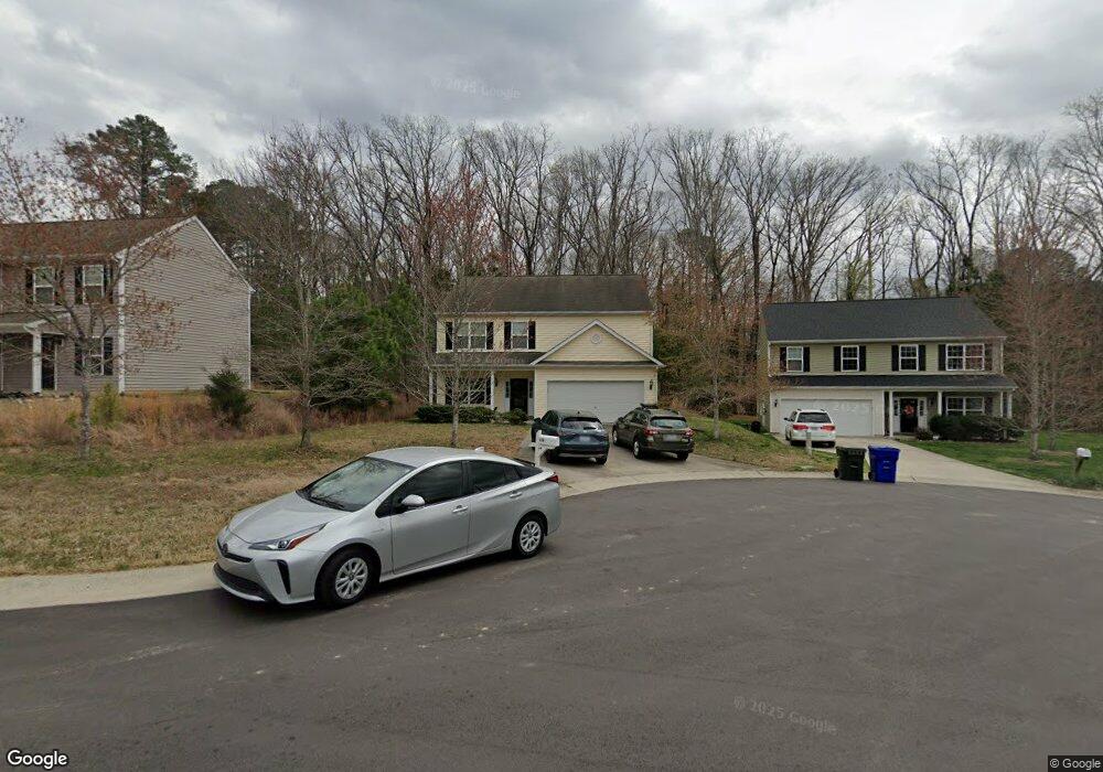
113 Parsons Green Ct Durham, NC 27704
Duke Homestead NeighborhoodEstimated Value: $446,000 - $499,000
5
Beds
3
Baths
2,760
Sq Ft
$171/Sq Ft
Est. Value
About This Home
This home is located at 113 Parsons Green Ct, Durham, NC 27704 and is currently estimated at $472,508, approximately $171 per square foot. 113 Parsons Green Ct is a home located in Durham County with nearby schools including Holt Elementary, George L Carrington Middle, and Northern High School.
Ownership History
Date
Name
Owned For
Owner Type
Purchase Details
Closed on
Jun 23, 2008
Sold by
Cimarron Capital Inc
Bought by
Smith Lisa Frances and Smith David Jeffrey
Current Estimated Value
Home Financials for this Owner
Home Financials are based on the most recent Mortgage that was taken out on this home.
Original Mortgage
$190,048
Outstanding Balance
$121,453
Interest Rate
5.97%
Mortgage Type
Purchase Money Mortgage
Estimated Equity
$351,055
Create a Home Valuation Report for This Property
The Home Valuation Report is an in-depth analysis detailing your home's value as well as a comparison with similar homes in the area
Home Values in the Area
Average Home Value in this Area
Purchase History
| Date | Buyer | Sale Price | Title Company |
|---|---|---|---|
| Smith Lisa Frances | $211,500 | None Available |
Source: Public Records
Mortgage History
| Date | Status | Borrower | Loan Amount |
|---|---|---|---|
| Open | Smith Lisa Frances | $190,048 |
Source: Public Records
Tax History Compared to Growth
Tax History
| Year | Tax Paid | Tax Assessment Tax Assessment Total Assessment is a certain percentage of the fair market value that is determined by local assessors to be the total taxable value of land and additions on the property. | Land | Improvement |
|---|---|---|---|---|
| 2025 | $3,727 | $478,337 | $108,900 | $369,437 |
| 2024 | $3,727 | $267,194 | $36,330 | $230,864 |
| 2023 | $3,500 | $267,194 | $36,330 | $230,864 |
| 2022 | $3,420 | $267,194 | $36,330 | $230,864 |
| 2021 | $3,404 | $267,194 | $36,330 | $230,864 |
| 2020 | $3,324 | $267,194 | $36,330 | $230,864 |
| 2019 | $3,324 | $267,194 | $36,330 | $230,864 |
| 2018 | $2,880 | $212,347 | $30,275 | $182,072 |
| 2017 | $2,859 | $212,347 | $30,275 | $182,072 |
| 2016 | $2,763 | $212,347 | $30,275 | $182,072 |
| 2015 | $2,935 | $211,991 | $34,448 | $177,543 |
| 2014 | $2,935 | $211,991 | $34,448 | $177,543 |
Source: Public Records
Map
Nearby Homes
- 709 Woodgreen Dr
- 2808 Maple Ridge Dr
- 2801 Warren St
- 606 Valley Dr
- 725 Valley Dr
- 510 Corrida Ave
- 4123 Casa St
- 122 Argonne Dr
- 1102 Horton Rd
- 67 Stonewall Way
- 2511 Stadium Dr
- 5 Sidbrook Ct
- 1011 Wyldewood Rd
- 11 Sweetbay Ct
- 14 Stone Village Ct
- 27 Stonewall Way
- 12 Patriot Cir
- 16 Daly Ct
- 1409 Nicklaus Dr
- 13 Patriot Cir
- 111 Parsons Green Ct
- 115 Parsons Green Ct
- 109 Parsons Green Ct
- 119 Parsons Green Ct
- 112 Parsons Green Ct
- 114 Parsons Green Ct
- 110 Parsons Green Ct
- 118 Parsons Green Ct
- 116 Parsons Green Ct
- 107 Parsons Green Ct
- 108 Parsons Green Ct
- 712 Sanderson Dr
- 707 Woodgreen Dr
- 710 Sanderson Dr
- 703 Woodgreen Dr
- 106 Parsons Green Ct
- 2804 Maple Ridge
- 105 Parsons Green Ct
- 2802 Maple Ridge Dr
- 2706 Maple Ridge