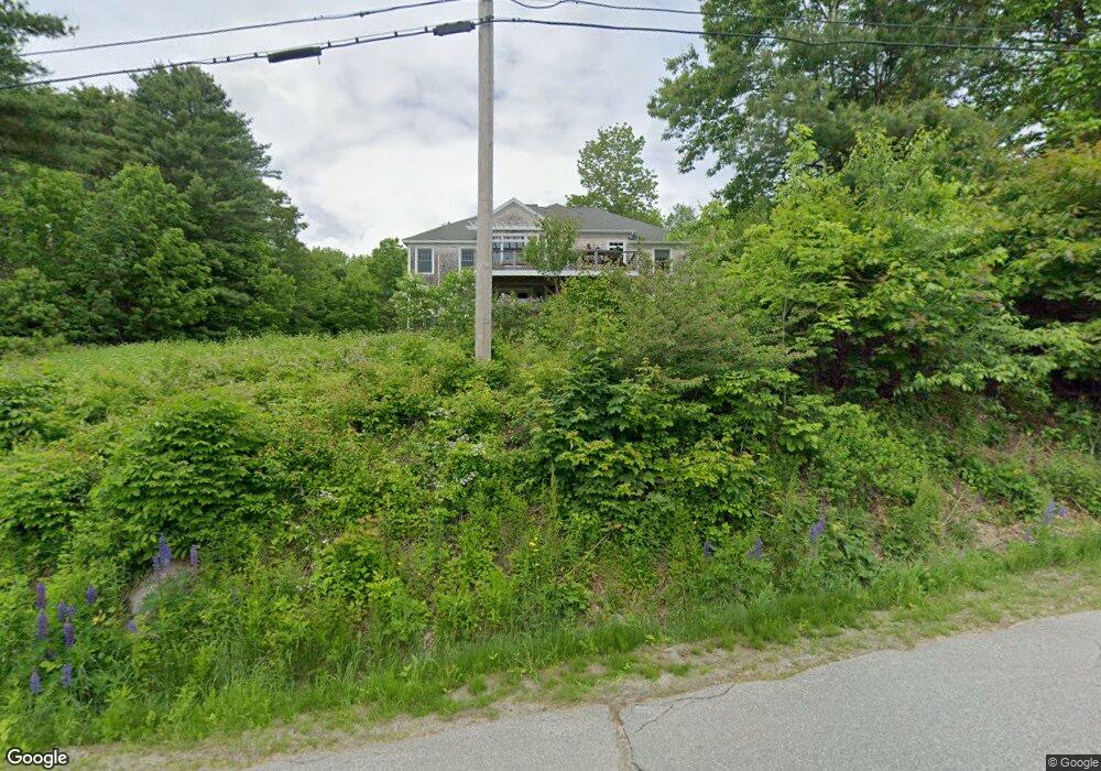
113 Patterson Hill Belfast, ME 04915
Estimated Value: $622,000 - $860,760
3
Beds
2
Baths
1,905
Sq Ft
$389/Sq Ft
Est. Value
About This Home
This home is located at 113 Patterson Hill, Belfast, ME 04915 and is currently estimated at $741,940, approximately $389 per square foot. 113 Patterson Hill is a home located in Waldo County with nearby schools including Cornerspring Children's House and The School At Sweetser - Belfast.
Ownership History
Date
Name
Owned For
Owner Type
Purchase Details
Closed on
Feb 27, 2007
Sold by
Hutchings Paul B and Hutchings Steven R
Bought by
King Thomas F and King Anita R
Current Estimated Value
Home Financials for this Owner
Home Financials are based on the most recent Mortgage that was taken out on this home.
Original Mortgage
$66,500
Outstanding Balance
$43,544
Interest Rate
8%
Mortgage Type
Commercial
Estimated Equity
$698,396
Create a Home Valuation Report for This Property
The Home Valuation Report is an in-depth analysis detailing your home's value as well as a comparison with similar homes in the area
Home Values in the Area
Average Home Value in this Area
Purchase History
| Date | Buyer | Sale Price | Title Company |
|---|---|---|---|
| King Thomas F | -- | -- |
Source: Public Records
Mortgage History
| Date | Status | Borrower | Loan Amount |
|---|---|---|---|
| Open | King Thomas F | $66,500 |
Source: Public Records
Tax History Compared to Growth
Tax History
| Year | Tax Paid | Tax Assessment Tax Assessment Total Assessment is a certain percentage of the fair market value that is determined by local assessors to be the total taxable value of land and additions on the property. | Land | Improvement |
|---|---|---|---|---|
| 2024 | $10,718 | $696,000 | $225,000 | $471,000 |
| 2023 | $7,182 | $357,300 | $62,500 | $294,800 |
| 2022 | $7,300 | $341,100 | $62,500 | $278,600 |
| 2021 | $7,504 | $341,100 | $62,500 | $278,600 |
| 2020 | $7,069 | $303,400 | $40,000 | $263,400 |
| 2019 | $6,543 | $285,700 | $40,000 | $245,700 |
| 2018 | $6,485 | $285,700 | $40,000 | $245,700 |
| 2017 | $6,257 | $285,700 | $40,000 | $245,700 |
| 2016 | $6,543 | $285,700 | $40,000 | $245,700 |
| 2015 | $6,400 | $285,700 | $40,000 | $245,700 |
| 2014 | $6,185 | $285,700 | $40,000 | $245,700 |
| 2013 | $6,775 | $325,700 | $80,000 | $245,700 |
Source: Public Records
Map
Nearby Homes
- 0 Robbins Rd Unit 1634953
- 0 Patterson Hill Rd Unit Lot 2 1614981
- 394 High St
- 388 High St
- 40 Robbins Rd
- 62 City Point Rd
- 45 Brooke Ave
- 37 Jacobs Rd
- 225 Waldo Ave
- 159 Waldo Ave
- 6 Daniel Dr
- 17 Marsh Rd
- 000 Merriam Rd
- 2 Swan Lake Ave
- 17 Footbridge Rd
- 73 Swan Lake Ave
- 51 Bridge St
- 12 Ashley Dr
- 208 High St
- 28 Charles St
- 113 Patterson Hill Rd
- 114 Patterson Hill Rd
- 2060 Robbins Rd
- 114 Patterson Hill
- 107 Patterson Hill Rd
- 0 Robbins Rd Unit Lot 2 1634953
- 0 Robbins Rd
- 0 Rt 1 - 141- & Robbins Roads
- 97 Robbins Rd
- Lot 5 Patterson Hill Rd
- 101 Patterson Hill Rd
- 101 Patterson Hill Rd
- 86A Patterson Hill Rd
- 86 Patterson Hill Rd
- 7 Kaler Rd
- Lot 6 Robbins Rd
- 5 Kaler Rd
- 11 Kaler Rd
- 15 Kaler Rd
- 2045 Robbins Rd