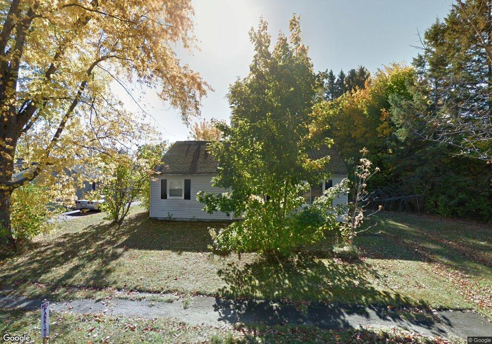
113 Philip St Bangor, ME 04401
Central Bangor NeighborhoodEstimated Value: $216,000 - $261,000
3
Beds
1
Bath
936
Sq Ft
$248/Sq Ft
Est. Value
About This Home
This home is located at 113 Philip St, Bangor, ME 04401 and is currently estimated at $232,574, approximately $248 per square foot. 113 Philip St is a home located in Penobscot County with nearby schools including Fruit Street School, Mary Snow School, and William S. Cohen School.
Create a Home Valuation Report for This Property
The Home Valuation Report is an in-depth analysis detailing your home's value as well as a comparison with similar homes in the area
Home Values in the Area
Average Home Value in this Area
Tax History Compared to Growth
Tax History
| Year | Tax Paid | Tax Assessment Tax Assessment Total Assessment is a certain percentage of the fair market value that is determined by local assessors to be the total taxable value of land and additions on the property. | Land | Improvement |
|---|---|---|---|---|
| 2024 | $2,988 | $161,100 | $21,800 | $139,300 |
| 2023 | $2,480 | $129,500 | $19,800 | $109,700 |
| 2022 | $2,305 | $113,000 | $19,800 | $93,200 |
| 2021 | $2,170 | $97,300 | $18,300 | $79,000 |
| 2020 | $2,178 | $93,900 | $18,300 | $75,600 |
| 2019 | $2,091 | $90,900 | $18,300 | $72,600 |
| 2018 | $2,072 | $90,300 | $23,000 | $67,300 |
| 2017 | $2,020 | $89,600 | $23,000 | $66,600 |
| 2016 | $1,946 | $86,500 | $23,000 | $63,500 |
| 2015 | $1,864 | $84,900 | $23,000 | $61,900 |
| 2014 | $1,838 | $84,300 | $23,000 | $61,300 |
| 2013 | $1,753 | $84,300 | $23,000 | $61,300 |
Source: Public Records
Map
Nearby Homes
- 97 Sherman Ave
- 103 Sherman Ave
- 50 Laurel Cir
- 114 Falvey St
- 76 Falvey St
- 250 Husson Ave Unit 1D
- 541 Kenduskeag Ave Unit A1
- 201 Clyde Rd
- 24 Warwick St
- 52 Earle Ave
- 564 Kenduskeag Ave
- 98 Fountain St
- 69 Wildwood Dr
- 34 Jessie St
- 33 Firefly Ln
- 18 Firefly Ln
- 30 Firefly Ln
- 28 Firefly Ln
- 36 Firefly Ln
- 550 Ohio St