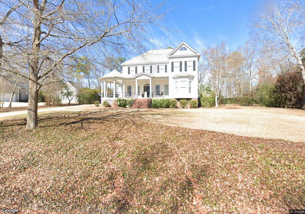
113 Power Point Ln Lexington, SC 29072
Estimated Value: $778,000 - $863,000
5
Beds
5
Baths
3,428
Sq Ft
$240/Sq Ft
Est. Value
About This Home
This home is located at 113 Power Point Ln, Lexington, SC 29072 and is currently estimated at $823,988, approximately $240 per square foot. 113 Power Point Ln is a home located in Lexington County with nearby schools including New Providence Elementary School, River Bluff High School, and Lake Murray Montessori School.
Ownership History
Date
Name
Owned For
Owner Type
Purchase Details
Closed on
Sep 25, 2019
Sold by
Lewis David M and Lewis Emily W
Bought by
Melvin Wesley J and Melvin Lacy H
Current Estimated Value
Home Financials for this Owner
Home Financials are based on the most recent Mortgage that was taken out on this home.
Original Mortgage
$390,000
Outstanding Balance
$342,356
Interest Rate
3.6%
Mortgage Type
New Conventional
Estimated Equity
$481,632
Purchase Details
Closed on
Mar 1, 2001
Sold by
Suzie Q Llc
Bought by
Lewis David M
Create a Home Valuation Report for This Property
The Home Valuation Report is an in-depth analysis detailing your home's value as well as a comparison with similar homes in the area
Home Values in the Area
Average Home Value in this Area
Purchase History
| Date | Buyer | Sale Price | Title Company |
|---|---|---|---|
| Melvin Wesley J | $520,000 | None Available | |
| Lewis David M | $45,000 | -- |
Source: Public Records
Mortgage History
| Date | Status | Borrower | Loan Amount |
|---|---|---|---|
| Open | Melvin Wesley J | $390,000 |
Source: Public Records
Tax History Compared to Growth
Tax History
| Year | Tax Paid | Tax Assessment Tax Assessment Total Assessment is a certain percentage of the fair market value that is determined by local assessors to be the total taxable value of land and additions on the property. | Land | Improvement |
|---|---|---|---|---|
| 2024 | $3,391 | $20,800 | $4,200 | $16,600 |
| 2023 | $3,106 | $20,800 | $4,200 | $16,600 |
| 2022 | $3,097 | $20,800 | $4,200 | $16,600 |
| 2020 | $3,176 | $20,800 | $4,200 | $16,600 |
| 2019 | $2,422 | $15,578 | $3,600 | $11,978 |
| 2018 | $2,377 | $15,578 | $3,600 | $11,978 |
| 2017 | $2,306 | $15,578 | $3,600 | $11,978 |
| 2016 | $2,285 | $15,577 | $3,600 | $11,977 |
| 2014 | $1,948 | $13,888 | $2,400 | $11,488 |
| 2013 | -- | $13,890 | $2,400 | $11,490 |
Source: Public Records
Map
Nearby Homes
- 102 Longford Ct
- 206 Portsmouth Dr
- 704 Old Cherokee Rd
- 221 Yachting Rd
- 101 York Commons
- 420 Plymouth Pass Dr
- 2225 Old Cherokee Rd Unit LOT 3
- 2235 Old Cherokee Rd Unit LOT 5
- 2229 Old Cherokee Rd Unit LOT 4
- 2247 Old Cherokee Rd Unit LOT 6
- 2221 Old Cherokee Rd Unit LOT 2
- 117 York Commons
- 561 Plymouth Pass Dr
- 246 Cobbleview Dr
- 227 State Road S-32-145 Unit LOT 2
- 227 State Road S-32-145 Unit LOT 1
- 227 State Road S-32-145 Unit LOT 3
- 110 Hyler Dr
- 159 Maritime Trail
- 312 Settlers Trail
- 117 Power Point Ln
- 107 Power Point Ln
- 305 Lanham Spring Way
- 100 Palmetto Cove Ln
- 125 Power Point Ln
- 121 Power Point Ln
- 301 Lanham Spring Way
- 113 Palmetto Cove Ln
- 309 Lanham Spring Way
- 307 Catawba Trail
- 100 White Caps Way
- 114 Power Point Ln
- 318 Catawba Trail
- 124 Palmetto Cove Ln
- 272 Catawba Trail
- 313 Lanham Spring Way
- 118 Power Point Ln
- 200 Lanham Spring Dr
- 108 Power Point Ln
- 316 Lanham Spring Way