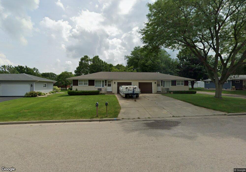
113 Reigstad St de Forest, WI 53532
Estimated Value: $384,268 - $433,000
--
Bed
--
Bath
--
Sq Ft
9,583
Sq Ft Lot
About This Home
This home is located at 113 Reigstad St, de Forest, WI 53532 and is currently estimated at $402,067. 113 Reigstad St is a home located in Dane County with nearby schools including Yahara Elementary School, DeForest Middle School, and DeForest High School.
Ownership History
Date
Name
Owned For
Owner Type
Purchase Details
Closed on
Apr 29, 2010
Sold by
Quam Donald L and Quam Joanne B
Bought by
Quam Gary L
Current Estimated Value
Purchase Details
Closed on
May 1, 2008
Sold by
Quam Donald L and Quam Joanne B
Bought by
Quam Gary L
Home Financials for this Owner
Home Financials are based on the most recent Mortgage that was taken out on this home.
Original Mortgage
$140,000
Interest Rate
5%
Mortgage Type
Seller Take Back
Purchase Details
Closed on
May 2, 2005
Sold by
Quam Donald L and Quam Joanne B
Bought by
Quan Donald L and Quan Joanne B
Create a Home Valuation Report for This Property
The Home Valuation Report is an in-depth analysis detailing your home's value as well as a comparison with similar homes in the area
Home Values in the Area
Average Home Value in this Area
Purchase History
| Date | Buyer | Sale Price | Title Company |
|---|---|---|---|
| Quam Gary L | -- | None Available | |
| Quam Gary L | $210,000 | None Available | |
| Quan Donald L | -- | None Available |
Source: Public Records
Mortgage History
| Date | Status | Borrower | Loan Amount |
|---|---|---|---|
| Closed | Quam Gary L | $140,000 |
Source: Public Records
Tax History Compared to Growth
Tax History
| Year | Tax Paid | Tax Assessment Tax Assessment Total Assessment is a certain percentage of the fair market value that is determined by local assessors to be the total taxable value of land and additions on the property. | Land | Improvement |
|---|---|---|---|---|
| 2024 | $5,900 | $358,800 | $80,800 | $278,000 |
| 2023 | $5,597 | $321,600 | $75,200 | $246,400 |
| 2021 | $5,143 | $253,900 | $58,800 | $195,100 |
| 2020 | $5,188 | $245,800 | $49,800 | $196,000 |
| 2019 | $5,235 | $249,900 | $49,800 | $200,100 |
| 2018 | $4,424 | $214,400 | $49,800 | $164,600 |
| 2017 | $4,226 | $214,400 | $49,800 | $164,600 |
| 2016 | $4,268 | $214,400 | $49,800 | $164,600 |
| 2015 | $4,155 | $195,100 | $39,800 | $155,300 |
| 2014 | $4,083 | $195,100 | $39,800 | $155,300 |
| 2013 | $4,389 | $195,100 | $39,800 | $155,300 |
Source: Public Records
Map
Nearby Homes
- 216 Sanford Dr
- 392 Campbell Hill Ct
- 396 Campbell Hill Ct
- 400 Old Indian Trail
- 401 N Stevenson St
- 408 Iroquois Ct
- 409 Rosemal Ln
- 422 Old Indian Trail
- 520 E Holum St
- 322 Yorktown Rd
- 620 Acker Pkwy
- 524 Park Ave
- 528 Park Ave
- 33.5 Ac River Rd
- L1 Liuna Way
- 624 W Mohawk Trail
- 549 Yahara St
- 612 Park Ave
- 4041 Bear Tree Pkwy
- 4049 Bear Tree Pkwy