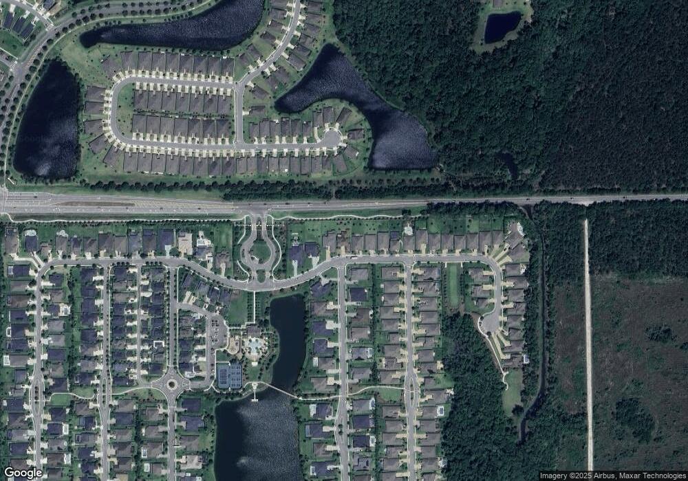
113 Renwick Pkwy St. Augustine, FL 32095
Estimated Value: $927,000 - $1,138,000
4
Beds
4
Baths
3,672
Sq Ft
$280/Sq Ft
Est. Value
About This Home
This home is located at 113 Renwick Pkwy, St. Augustine, FL 32095 and is currently estimated at $1,027,176, approximately $279 per square foot. 113 Renwick Pkwy is a home located in St. Johns County with nearby schools including Mill Creek Academy, Palencia Montessori Academy, and Mill Creek Baptist Christian Academy.
Ownership History
Date
Name
Owned For
Owner Type
Purchase Details
Closed on
Aug 27, 2025
Sold by
Rone Brian
Bought by
Rone Stephanie
Current Estimated Value
Purchase Details
Closed on
Sep 18, 2023
Sold by
Rone Stephanie and Rone Brian
Bought by
Living Trust and Rone
Purchase Details
Closed on
Apr 13, 2022
Sold by
Calatlantic Group Llc
Bought by
Rone Stephanie Alicia and Rone Brian Ladell
Home Financials for this Owner
Home Financials are based on the most recent Mortgage that was taken out on this home.
Original Mortgage
$1,150,875
Interest Rate
4.72%
Mortgage Type
VA
Create a Home Valuation Report for This Property
The Home Valuation Report is an in-depth analysis detailing your home's value as well as a comparison with similar homes in the area
Purchase History
| Date | Buyer | Sale Price | Title Company |
|---|---|---|---|
| Rone Stephanie | $100 | None Listed On Document | |
| Living Trust | $100 | None Listed On Document | |
| Living Trust | $100 | None Listed On Document | |
| Rone Stephanie Alicia | $1,125,000 | New Title Company Name |
Source: Public Records
Mortgage History
| Date | Status | Borrower | Loan Amount |
|---|---|---|---|
| Previous Owner | Rone Stephanie Alicia | $1,150,875 |
Source: Public Records
Tax History Compared to Growth
Tax History
| Year | Tax Paid | Tax Assessment Tax Assessment Total Assessment is a certain percentage of the fair market value that is determined by local assessors to be the total taxable value of land and additions on the property. | Land | Improvement |
|---|---|---|---|---|
| 2025 | $14,114 | $797,246 | $145,000 | $652,246 |
| 2024 | $14,114 | $827,893 | $137,000 | $690,893 |
| 2023 | $14,114 | $784,508 | $125,000 | $659,508 |
| 2022 | $11,518 | $620,205 | $112,000 | $508,205 |
| 2021 | $10,499 | $483,354 | $0 | $0 |
| 2020 | $9,652 | $426,746 | $0 | $0 |
| 2019 | $4,445 | $75,000 | $0 | $0 |
| 2018 | $3,424 | $8,148 | $0 | $0 |
| 2017 | $0 | $8,148 | $8,148 | $0 |
Source: Public Records
Map
Nearby Homes
- 82 Bent Lake Ct
- 258 Rock Spring Loop
- 212 Rock Spring Loop
- 112 Bridge Oak Ln
- 352 Bronson Pkwy
- 76 Artist Oaks Ct
- 350 Latrobe Ave
- 363 Latrobe Ave
- 375 Kirkside Ave
- 203 Westcott Pkwy
- 132 Yellowfin Dr
- 0 Hortons Trace Unit 2098094
- 219 Bluejack Ln
- 155 Aspinwall Pkwy
- 318 Bluejack Ln
- 208 River Mist Dr
- 45 Blind Oak Cir
- 39 Blind Oak Cir
- 228 River Mist Dr
- 123 Blind Oak Cir
- 129 Renwick Pkwy
- 95 Renwick Pkwy
- 143 Renwick Pkwy
- 75 Renwick Pkwy
- 27 Kirkside Ave
- 55 Renwick Pkwy
- 171 Renwick Pkwy
- 38 Kirkside Ave
- 45 Kirkside Ave
- 24 Latrobe Ave
- 34 Latrobe Ave
- 54 Kirkside Ave
- 94 Bent Lake Ct
- 46 Latrobe Ave
- 88 Bent Lake Ct
- 88 Bent Lake Ct
- 88 Bent Lake
- 201 Renwick Pkwy
- 63 Kirkside Ave
- 23 Latrobe Ave
