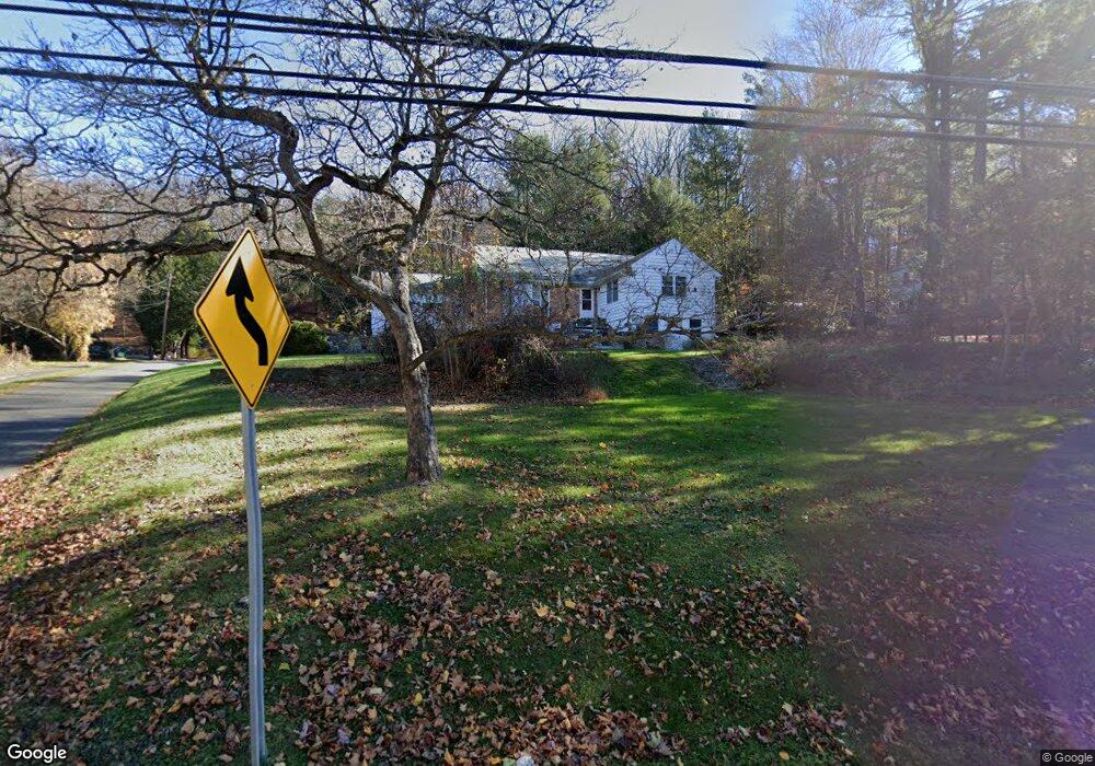
113 Route 39 S Sherman, CT 06784
Estimated Value: $386,762 - $583,000
3
Beds
2
Baths
1,771
Sq Ft
$290/Sq Ft
Est. Value
About This Home
This home is located at 113 Route 39 S, Sherman, CT 06784 and is currently estimated at $514,191, approximately $290 per square foot. 113 Route 39 S is a home located in Fairfield County with nearby schools including Sherman School.
Ownership History
Date
Name
Owned For
Owner Type
Purchase Details
Closed on
Dec 16, 1998
Sold by
Markey Joseph A and Markey Edith M
Bought by
Petersen Carl R and Petersen Michele G
Current Estimated Value
Home Financials for this Owner
Home Financials are based on the most recent Mortgage that was taken out on this home.
Original Mortgage
$147,250
Outstanding Balance
$40,774
Interest Rate
6.85%
Estimated Equity
$473,417
Create a Home Valuation Report for This Property
The Home Valuation Report is an in-depth analysis detailing your home's value as well as a comparison with similar homes in the area
Home Values in the Area
Average Home Value in this Area
Purchase History
| Date | Buyer | Sale Price | Title Company |
|---|---|---|---|
| Petersen Carl R | $155,000 | -- | |
| Petersen Carl R | $155,000 | -- |
Source: Public Records
Mortgage History
| Date | Status | Borrower | Loan Amount |
|---|---|---|---|
| Closed | Petersen Carl R | $50,000 | |
| Closed | Petersen Carl R | $21,930 | |
| Open | Petersen Carl R | $147,250 | |
| Closed | Petersen Carl R | $147,250 |
Source: Public Records
Tax History Compared to Growth
Tax History
| Year | Tax Paid | Tax Assessment Tax Assessment Total Assessment is a certain percentage of the fair market value that is determined by local assessors to be the total taxable value of land and additions on the property. | Land | Improvement |
|---|---|---|---|---|
| 2025 | $2,717 | $163,000 | $62,800 | $100,200 |
| 2024 | $2,667 | $163,000 | $62,800 | $100,200 |
| 2023 | $2,905 | $163,000 | $62,800 | $100,200 |
| 2022 | $2,963 | $163,000 | $62,800 | $100,200 |
| 2021 | $22,069 | $163,000 | $62,800 | $100,200 |
| 2020 | $3,115 | $163,000 | $62,800 | $100,200 |
| 2019 | $3,021 | $152,500 | $62,800 | $89,700 |
| 2018 | $3,224 | $158,600 | $66,300 | $92,300 |
| 2017 | $3,222 | $158,500 | $66,200 | $92,300 |
| 2016 | $3,223 | $158,550 | $66,220 | $92,330 |
| 2015 | $3,177 | $158,550 | $66,220 | $92,330 |
| 2014 | $3,146 | $158,550 | $66,220 | $92,330 |
Source: Public Records
Map
Nearby Homes
- 0 Rte 39 South State Route
- 0 Wagon Wheel Rd Unit 24065102
- 5 Sail Harbour Dr
- 7 Candle Hill Rd
- 2 Pleasant View Rd
- 5 Stone Wall Ln
- 54 Lavelle Ave
- 7 Glenview Dr
- 14 Cherry Dr
- 15 Misty Brook Ln
- 15 Flak Ln
- 4 Harbour View Dr
- 32 Sail Harbour Dr
- 35 Candle Hill Rd
- 8 Candleview Dr
- 8 Heritage Island Rd
- 35 Skyline Dr
- 4 Deer Run Trail
- 256 State Route 39
- 8 Ledgewood Dr
- 115 Route 39 S
- 111 Route 39 S
- 107 Connecticut 39
- 107 Route 39 S
- 4 Deer Hill Rd
- 1 Deer Hill Rd
- 121 Route 39 S
- 123 Connecticut 39 Unit 2
- 123 Connecticut 39
- 105 Route 39 S
- 2 North Cove
- 6 Deer Hill Rd
- 109 Route 39 S
- 8 Deer Hill Rd
- 120 Route 39 S
- 101 Route 39 S
- 130 Route 39 S
- 5 Deer Hill Rd
- 7 Deer Hill Rd
- 4 Pinewood Shores