Estimated Value: $119,000 - $162,000
Studio
--
Bath
1,485
Sq Ft
$92/Sq Ft
Est. Value
About This Home
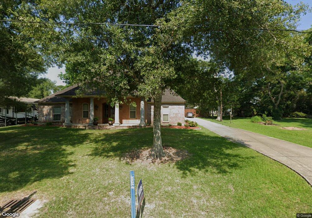
This home is located at 113 S Elms St, Welsh, LA 70591 and is currently estimated at $136,000, approximately $91 per square foot. 113 S Elms St is a home located in Jefferson Davis Parish with nearby schools including Welsh Elementary School, Welsh-Roanoke Junior High School, and Welsh High School.
Ownership History
Date
Name
Owned For
Owner Type
Purchase Details
Closed on
Nov 20, 2017
Sold by
Fresh 54 Llc
Bought by
Hebert Shelby Rothrock
Current Estimated Value
Purchase Details
Closed on
Jul 25, 2012
Sold by
Henry Zenobia
Bought by
Crochet Roddy
Purchase Details
Closed on
Sep 12, 2011
Sold by
Co Fear And Radford Llc
Bought by
Crochet Roddy
Purchase Details
Closed on
Jul 29, 2009
Sold by
Gv Sheriff And Ex Officio Tax Collecto
Bought by
Crochet Roddy
Create a Home Valuation Report for This Property
The Home Valuation Report is an in-depth analysis detailing your home's value as well as a comparison with similar homes in the area
Home Values in the Area
Average Home Value in this Area
Purchase History
| Date | Buyer | Sale Price | Title Company |
|---|---|---|---|
| Hebert Shelby Rothrock | $30,000 | -- | |
| Crochet Roddy | $300 | None Available | |
| Crochet Roddy | $264 | None Available | |
| Crochet Roddy | $704 | None Available | |
| Crochet Roddy | $375 | None Available | |
| Crochet Roddy | $666 | None Available | |
| Crochet Roddy | $168 | None Available |
Source: Public Records
Tax History
| Year | Tax Paid | Tax Assessment Tax Assessment Total Assessment is a certain percentage of the fair market value that is determined by local assessors to be the total taxable value of land and additions on the property. | Land | Improvement |
|---|---|---|---|---|
| 2025 | $865 | $10,119 | $700 | $9,419 |
| 2024 | $862 | $10,119 | $700 | $9,419 |
| 2023 | $665 | $8,890 | $700 | $8,190 |
| 2022 | $155 | $8,890 | $700 | $8,190 |
| 2021 | $665 | $8,890 | $700 | $8,190 |
| 2020 | $664 | $8,890 | $700 | $8,190 |
| 2019 | $388 | $5,100 | $600 | $4,500 |
| 2018 | $445 | $5,100 | $600 | $4,500 |
| 2017 | $446 | $5,100 | $600 | $4,500 |
| 2015 | $391 | $4,500 | $600 | $3,900 |
| 2014 | $392 | $4,500 | $600 | $3,900 |
| 2013 | $401 | $4,500 | $600 | $3,900 |
Source: Public Records
Map
Nearby Homes
- 406 W Hudspeth St
- 501 S Polk St
- 207 Powers St
- 507 Beaufort St
- 17188 Highway 90 Unit Suite B
- 17180 Highway 90
- 0 Highway 90
- 619 S Sarah St
- 409 Pine St
- 0 Dautel St Unit SWL25101889
- 560 Bowers St
- 303 Elizabeth St
- 311 Bourgeois St
- 0 Grove St Unit SWL25002212
- 0 Grove St Unit SWL25002213
- 0 Grove St Unit SWL25002211
- 0 Grove St Unit SWL25002210
- 0 Plank Rd
- 0 S Simmons St Unit SWL25002203
- 0 S Simmons St Unit SWL25002209
- 109 S Elms St
- 103 S Elms St
- 110 S Elms St
- 102 S Elm St
- 102 S Elms St
- 106 S Polk St
- 113 W South St
- 109 W South St
- 101 S Adams St Unit 4
- 113 S Adams St
- 205 S Polk St
- 109 S Elm St
- 309 W South St
- 111 S Adams St
- 301 W South St
- Tbd Freeland Rd
- 103 W South St
- 0 Hwy 101 Hwy Unit SWL23000881
- 0 Richard Rd
- 4102 South St
Your Personal Tour Guide
Ask me questions while you tour the home.