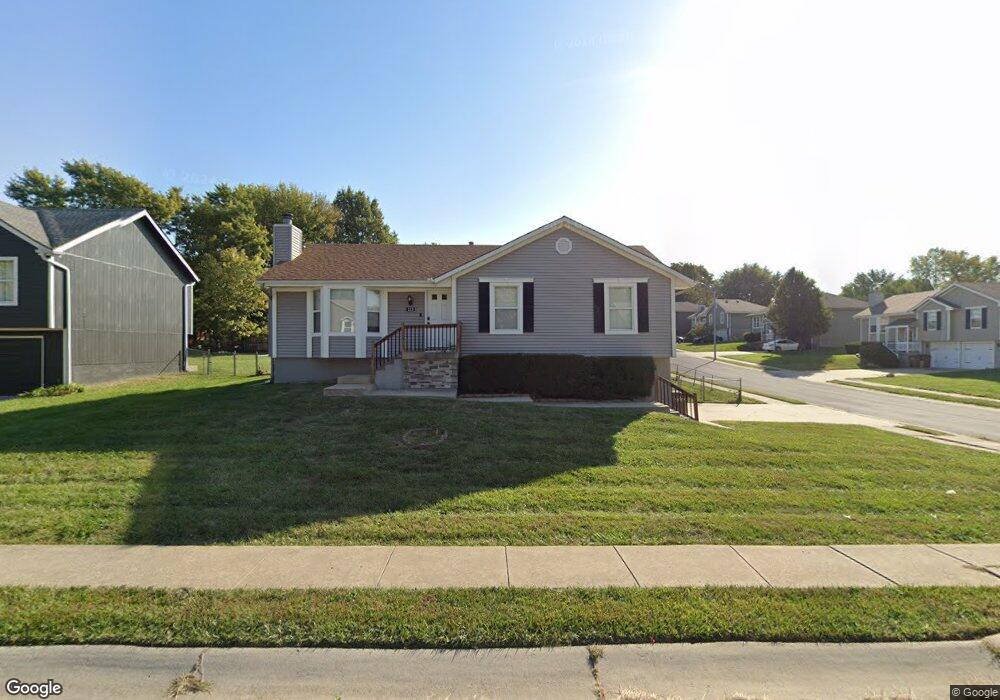
113 S Huntsman Blvd Raymore, MO 64083
Estimated Value: $277,000 - $301,000
3
Beds
2
Baths
1,212
Sq Ft
$239/Sq Ft
Est. Value
About This Home
This home is located at 113 S Huntsman Blvd, Raymore, MO 64083 and is currently estimated at $289,901, approximately $239 per square foot. 113 S Huntsman Blvd is a home located in Cass County with nearby schools including Eagle Glen Intermediate School, Raymore-Peculiar East Middle School, and Raymore-Peculiar Senior High School.
Ownership History
Date
Name
Owned For
Owner Type
Purchase Details
Closed on
Jul 26, 2005
Sold by
Humke Michael R and Humke Theresa M
Bought by
Thomas Christopher S and Thomas Jennifer S
Current Estimated Value
Home Financials for this Owner
Home Financials are based on the most recent Mortgage that was taken out on this home.
Original Mortgage
$27,700
Interest Rate
5.17%
Mortgage Type
Stand Alone Second
Create a Home Valuation Report for This Property
The Home Valuation Report is an in-depth analysis detailing your home's value as well as a comparison with similar homes in the area
Home Values in the Area
Average Home Value in this Area
Purchase History
| Date | Buyer | Sale Price | Title Company |
|---|---|---|---|
| Thomas Christopher S | -- | -- |
Source: Public Records
Mortgage History
| Date | Status | Borrower | Loan Amount |
|---|---|---|---|
| Closed | Thomas Christopher S | $27,700 |
Source: Public Records
Tax History Compared to Growth
Tax History
| Year | Tax Paid | Tax Assessment Tax Assessment Total Assessment is a certain percentage of the fair market value that is determined by local assessors to be the total taxable value of land and additions on the property. | Land | Improvement |
|---|---|---|---|---|
| 2025 | $2,273 | $31,520 | $5,890 | $25,630 |
| 2024 | $2,273 | $27,930 | $5,360 | $22,570 |
| 2023 | $2,270 | $27,930 | $5,360 | $22,570 |
| 2022 | $1,999 | $24,440 | $5,360 | $19,080 |
| 2021 | $2,000 | $24,440 | $5,360 | $19,080 |
| 2020 | $1,969 | $23,640 | $5,360 | $18,280 |
| 2019 | $1,901 | $23,640 | $5,360 | $18,280 |
| 2018 | $1,752 | $21,040 | $4,500 | $16,540 |
| 2017 | $1,609 | $21,040 | $4,500 | $16,540 |
| 2016 | $1,609 | $20,050 | $4,500 | $15,550 |
| 2015 | $1,610 | $20,050 | $4,500 | $15,550 |
| 2014 | $1,610 | $20,050 | $4,500 | $15,550 |
| 2013 | -- | $20,050 | $4,500 | $15,550 |
Source: Public Records
Map
Nearby Homes
- 212 S Huntsman Blvd
- 1601 Stasi Ave
- 0 Scott Dr
- 215 Scott Dr
- 1517 Johnston Dr
- 310 N Darrowby Dr
- LOT 92 Meadowlark Dr
- 1122 SE Ranchland St
- 1134 SE Ranchland St
- 1412 W Stone Blvd
- 411 Eagle Glen Dr
- 411 Woodview Dr
- 415 Woodview Dr
- 110 S Westglen Dr
- 500 Woodview Dr
- 503 N Jenkins Blvd
- 117 S Westglen Dr
- 603 Old Paint Rd
- 300 Dean Ave
- 600 S Fox Ridge Dr
- 111 S Huntsman Blvd
- 1706 Roberta Dr
- 1711 Roberta Dr
- 1709 Roberta Dr
- 109 S Huntsman Blvd
- 1707 Cooper Dr
- 1704 Roberta Dr
- 112 S Huntsman Blvd
- 1707 Roberta Dr
- 114 S Huntsman Blvd
- 110 S Huntsman Blvd
- 1705 Cooper Dr
- 116 S Huntsman Blvd
- 108 S Huntsman Blvd
- 1705 Roberta Dr
- 1702 Roberta Dr
- 1710 W Christi Ln
- 1708 W Christi Ln
- 118 S Huntsman Blvd
- 1703 Cooper Dr