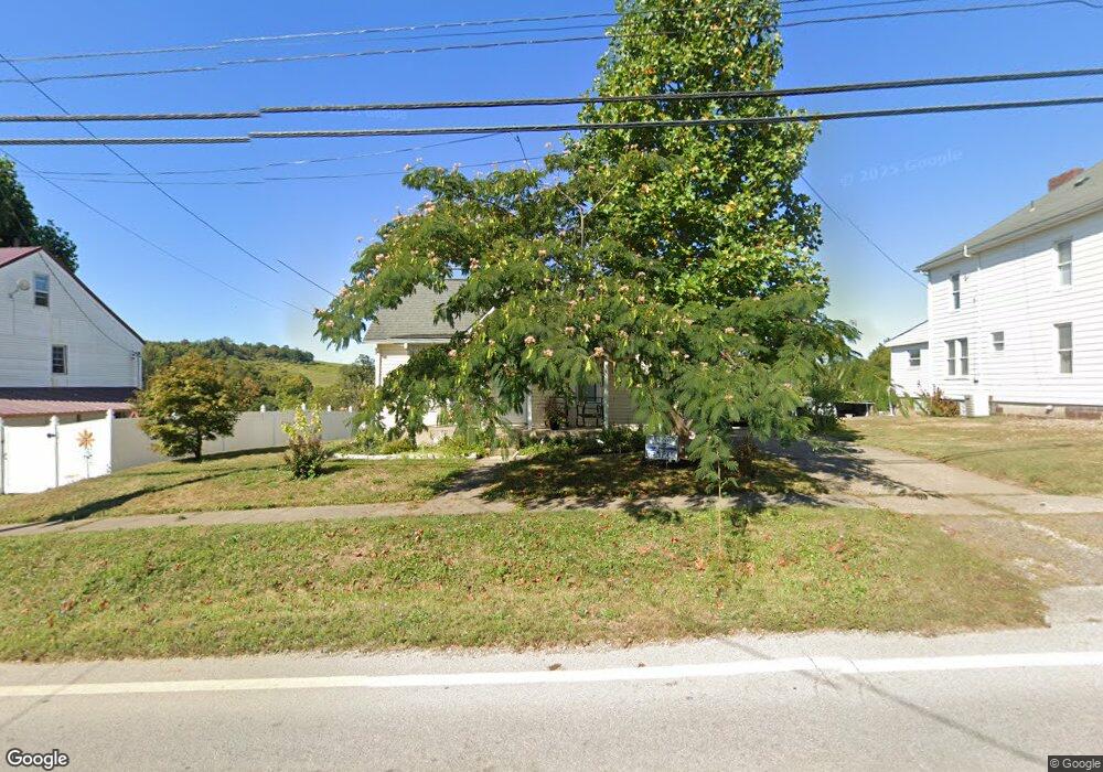
113 S Main St New Athens, OH 43981
Estimated Value: $82,000 - $102,000
3
Beds
1
Bath
1,394
Sq Ft
$64/Sq Ft
Est. Value
About This Home
This home is located at 113 S Main St, New Athens, OH 43981 and is currently estimated at $89,726, approximately $64 per square foot. 113 S Main St is a home located in Harrison County with nearby schools including Harrison Central Elementary School and Harrison Central Junior/Senior High School.
Ownership History
Date
Name
Owned For
Owner Type
Purchase Details
Closed on
Nov 7, 2023
Sold by
Farkas Joseph W
Bought by
Applegarth Lesley J
Current Estimated Value
Purchase Details
Closed on
Nov 19, 2010
Sold by
Saffell Gerad W
Bought by
Farkas Jospeh W and Farkas Shirlee Jean
Home Financials for this Owner
Home Financials are based on the most recent Mortgage that was taken out on this home.
Original Mortgage
$40,500
Interest Rate
4.17%
Mortgage Type
New Conventional
Purchase Details
Closed on
Nov 13, 2003
Purchase Details
Closed on
Aug 2, 1995
Create a Home Valuation Report for This Property
The Home Valuation Report is an in-depth analysis detailing your home's value as well as a comparison with similar homes in the area
Home Values in the Area
Average Home Value in this Area
Purchase History
| Date | Buyer | Sale Price | Title Company |
|---|---|---|---|
| Applegarth Lesley J | $75,000 | None Listed On Document | |
| Applegarth Lesley J | $75,000 | None Listed On Document | |
| Farkas Jospeh W | $45,000 | None Available | |
| -- | $65,000 | -- | |
| -- | -- | -- |
Source: Public Records
Mortgage History
| Date | Status | Borrower | Loan Amount |
|---|---|---|---|
| Previous Owner | Farkas Jospeh W | $40,500 |
Source: Public Records
Tax History Compared to Growth
Tax History
| Year | Tax Paid | Tax Assessment Tax Assessment Total Assessment is a certain percentage of the fair market value that is determined by local assessors to be the total taxable value of land and additions on the property. | Land | Improvement |
|---|---|---|---|---|
| 2024 | $980 | $24,550 | $5,130 | $19,420 |
| 2023 | $980 | $24,550 | $5,130 | $19,420 |
| 2022 | $478 | $20,120 | $4,610 | $15,510 |
| 2021 | $473 | $20,120 | $4,610 | $15,510 |
| 2020 | $471 | $20,120 | $4,610 | $15,510 |
| 2019 | $407 | $17,950 | $4,110 | $13,840 |
| 2018 | $407 | $17,950 | $4,110 | $13,840 |
| 2017 | $411 | $17,950 | $4,110 | $13,840 |
| 2016 | $411 | $17,340 | $3,660 | $13,680 |
| 2015 | $826 | $17,340 | $3,660 | $13,680 |
| 2014 | $311 | $16,620 | $3,330 | $13,290 |
| 2013 | $311 | $16,620 | $3,330 | $13,290 |
Source: Public Records
Map
Nearby Homes
- 254 S Buffalo St
- 413 Saint Clair Ave
- 419 Saint Clair Ave
- 608 Kerr Ave
- 545 E Market St
- 102 Cadiz Ave
- 388 N Main St
- 265 Old Steubenville Pike
- 804 E Market St
- 273 Old Steubenville Pike
- 0 E Market St
- 0 N Main St Unit 5153554
- 390 Oak Park Rd
- 78791 Kanoski Rd
- 0 Brewer Rd
- 39000 Lees Run Rd
- 77900 Slater Rd
- 85200 Merryman Rd
- 315 Euclid Ave
- 200 Cross St
- 109 S Main St
- 121 S Main St
- 0 Ohio 9
- 103 N Main St
- 135 S Main St
- 117 W Market St
- 104 S Main St
- 114 S Main St
- 101 Main St S
- 114 & 118 E Market St
- 126 N Main St
- 127 131 W Market St Unit 27-131
- 136 S Main St
- 145 S Main St
- 149 W Market St
- 139 W Market St
- 148 S Main St
- 130 N Main St
- 133 E Market St
- 154 W Market St