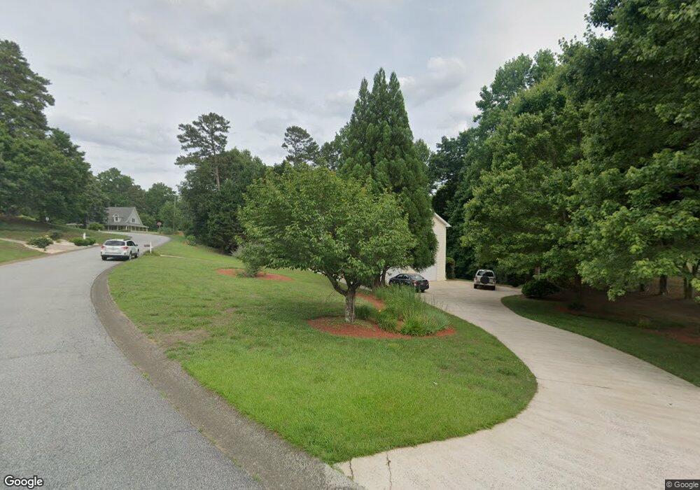
113 Springwater Trace Unit 1 Woodstock, GA 30188
Union Hill NeighborhoodEstimated Value: $439,000 - $453,207
4
Beds
3
Baths
2,704
Sq Ft
$165/Sq Ft
Est. Value
About This Home
This home is located at 113 Springwater Trace Unit 1, Woodstock, GA 30188 and is currently estimated at $446,104, approximately $164 per square foot. 113 Springwater Trace Unit 1 is a home located in Cherokee County with nearby schools including Johnston Elementary School, Mill Creek Middle School, and River Ridge High School.
Ownership History
Date
Name
Owned For
Owner Type
Purchase Details
Closed on
Jul 29, 2011
Sold by
Carofano Don A
Bought by
Kasel William and Scolieri Esther
Current Estimated Value
Purchase Details
Closed on
Sep 28, 1998
Sold by
Schiller Clyde L and Schiller Catherine L
Bought by
Carofano Don A and Carofano Diana K
Home Financials for this Owner
Home Financials are based on the most recent Mortgage that was taken out on this home.
Original Mortgage
$62,000
Interest Rate
6.8%
Mortgage Type
New Conventional
Purchase Details
Closed on
Nov 10, 1993
Sold by
Harwell Owens Bldrs
Bought by
Schiller Clyde L Catherine
Home Financials for this Owner
Home Financials are based on the most recent Mortgage that was taken out on this home.
Original Mortgage
$82,900
Interest Rate
3.5%
Create a Home Valuation Report for This Property
The Home Valuation Report is an in-depth analysis detailing your home's value as well as a comparison with similar homes in the area
Home Values in the Area
Average Home Value in this Area
Purchase History
| Date | Buyer | Sale Price | Title Company |
|---|---|---|---|
| Kasel William | $160,000 | -- | |
| Carofano Don A | $138,700 | -- | |
| Schiller Clyde L Catherine | $117,900 | -- |
Source: Public Records
Mortgage History
| Date | Status | Borrower | Loan Amount |
|---|---|---|---|
| Previous Owner | Carofano Don A | $62,000 | |
| Previous Owner | Schiller Clyde L Catherine | $82,900 |
Source: Public Records
Tax History Compared to Growth
Tax History
| Year | Tax Paid | Tax Assessment Tax Assessment Total Assessment is a certain percentage of the fair market value that is determined by local assessors to be the total taxable value of land and additions on the property. | Land | Improvement |
|---|---|---|---|---|
| 2025 | $826 | $169,244 | $34,400 | $134,844 |
| 2024 | $801 | $165,004 | $34,400 | $130,604 |
| 2023 | $665 | $166,164 | $34,400 | $131,764 |
| 2022 | $3,409 | $147,828 | $31,200 | $116,628 |
| 2021 | $2,934 | $114,892 | $24,000 | $90,892 |
| 2020 | $2,692 | $104,352 | $21,200 | $83,152 |
| 2019 | $2,503 | $96,240 | $20,400 | $75,840 |
| 2018 | $2,360 | $89,640 | $18,400 | $71,240 |
| 2017 | $2,305 | $216,400 | $18,400 | $68,160 |
| 2016 | $2,235 | $206,900 | $16,800 | $65,960 |
| 2015 | $2,177 | $198,400 | $16,800 | $62,560 |
| 2014 | $1,830 | $161,300 | $15,000 | $49,520 |
Source: Public Records
Map
Nearby Homes
- 214 Valley Brook Dr
- 228 Holly Creek Way
- 234 Holly Creek Way
- 151 Springwater Trace
- 1095 Ashlin Dr
- 550 Fox Creek Crossing
- 531 Fox Creek Crossing
- 614 Springharbor Dr
- 161 Stoney Creek Pkwy
- 505 Lost Creek Dr
- 5541 Old Highway 5
- 501 Ruths Dr
- 224 Stone Park Dr
- 306 Serenity Way
- 160 Highlands Dr
- 414 Ruths Blvd
- 115 Springwater Trace
- 200 Springwater Way
- 110 Springwater Trace
- 117 Springwater Trace
- 119 Springwater Trace
- 112 Springwater Trace
- 114 Springwater Trace
- 108 Springwater Trace
- 111 Springwater Trace
- 111 Springwater Trace
- 202 Springwater Way
- 121 Springwater Trace
- 116 Springwater Trace
- 203 Springwater Way
- 118 Springwater Trace Unit 1
- 205 Springwater Way
- 120 Springwater Trace Unit 1
- 109 Springwater Trace
- 122 Springwater Trace
- 123 Springwater Trace