113 Tillis Rd Gordon, GA 31031
Estimated Value: $201,539 - $239,000
--
Bed
--
Bath
864
Sq Ft
$250/Sq Ft
Est. Value
About This Home
This home is located at 113 Tillis Rd, Gordon, GA 31031 and is currently estimated at $215,846, approximately $249 per square foot. 113 Tillis Rd is a home located in Baldwin County with nearby schools including Midway Hills Primary School, Midway Hills Academy, and Oak Hill Middle School.
Ownership History
Date
Name
Owned For
Owner Type
Purchase Details
Closed on
Nov 3, 2000
Sold by
Sharpe Sherald
Bought by
Mccant Alan E
Current Estimated Value
Purchase Details
Closed on
Jun 1, 2000
Sold by
Stacy Leigh Calvert
Bought by
Mccant Alan E
Purchase Details
Closed on
May 1, 1999
Sold by
Sharpe Charles C
Bought by
Mccant Alan E and Mccant Ca
Purchase Details
Closed on
Mar 2, 1999
Sold by
Sharp Charles C
Bought by
Mccant Alan E
Create a Home Valuation Report for This Property
The Home Valuation Report is an in-depth analysis detailing your home's value as well as a comparison with similar homes in the area
Home Values in the Area
Average Home Value in this Area
Purchase History
| Date | Buyer | Sale Price | Title Company |
|---|---|---|---|
| Mccant Alan E | $5,000 | -- | |
| Mccant Alan E | -- | -- | |
| Mccant Alan E | $20,000 | -- | |
| Mccant Alan E | $17,000 | -- |
Source: Public Records
Tax History Compared to Growth
Tax History
| Year | Tax Paid | Tax Assessment Tax Assessment Total Assessment is a certain percentage of the fair market value that is determined by local assessors to be the total taxable value of land and additions on the property. | Land | Improvement |
|---|---|---|---|---|
| 2025 | $1,043 | $42,781 | $6,893 | $35,888 |
| 2024 | $1,096 | $44,980 | $9,092 | $35,888 |
| 2023 | $932 | $43,888 | $15,480 | $28,408 |
| 2022 | $931 | $44,368 | $15,480 | $28,888 |
| 2021 | $570 | $38,440 | $15,400 | $23,040 |
| 2020 | $554 | $38,440 | $15,400 | $23,040 |
| 2019 | $555 | $38,440 | $15,400 | $23,040 |
| 2018 | $501 | $39,440 | $16,400 | $23,040 |
| 2017 | $580 | $39,440 | $16,400 | $23,040 |
| 2016 | $663 | $46,660 | $17,080 | $29,580 |
| 2015 | $709 | $36,300 | $9,920 | $26,380 |
| 2014 | $711 | $36,300 | $9,920 | $26,380 |
Source: Public Records
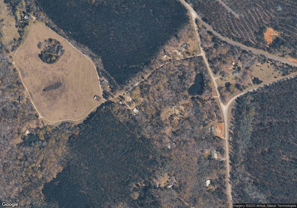
Map
Nearby Homes
- 154 Jf Hall Rd
- 154 Jf Hall Rd
- 156 Jf Hall Rd
- 2140 Nesmith Rd
- 1455 Fred Hall Rd
- 0 Black Creek Rd
- 107 Forest Valley Dr
- 134 Magnolia Ave
- 872 W Hwy 49
- 379 Bethlehem Church Rd
- 0 Industrial Blvd Unit 52833
- 310 Gordon Hwy SW
- 8 State Route 49w
- 312 State Route 49w
- 111 Woodland Hills Lake Ln
- 137 Lakeview Dr S
- 143 McCullar Weaver Rd SW
- 106 Sarah Kate Way
- 0 Laurel Branch Rd Unit 10587149
- 152 Main St
- 121 Tillis Rd
- 107 Tillis Rd
- 303 Jf Hall Rd
- 297 Jf Hall Rd
- 313 Jf Hall Rd
- 327 Jf Hall Rd
- 109 Tillis Rd
- 107 Tillis Rd
- 329 Jf Hall Rd
- 344 Jf Hall Rd
- 348 Jf Hall Rd
- 357 Jf Hall Rd
- 361 Jf Hall Rd
- 231 Cc Camp Rd
- 232 Cc Camp Rd
- 372 Jf Hall Rd
- 387 Jf Hall Rd
- 150 Union Hill Church Rd SW
- 238 Cc Camp Rd
- 219 Cc Camp Rd