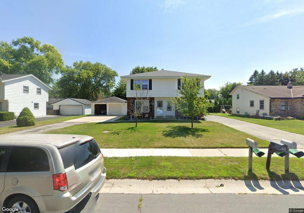
113 W Devon St Unit 115 Saukville, WI 53080
Estimated Value: $326,816 - $383,000
--
Bed
2
Baths
--
Sq Ft
10,367
Sq Ft Lot
About This Home
This home is located at 113 W Devon St Unit 115, Saukville, WI 53080 and is currently estimated at $350,454. 113 W Devon St Unit 115 is a home located in Ozaukee County with nearby schools including Saukville Elementary School, Thomas Jefferson Middle School, and Port Washington High School.
Ownership History
Date
Name
Owned For
Owner Type
Purchase Details
Closed on
Jul 14, 2009
Sold by
Jones Marian M
Bought by
Jones Marian M
Current Estimated Value
Home Financials for this Owner
Home Financials are based on the most recent Mortgage that was taken out on this home.
Original Mortgage
$66,000
Interest Rate
5.62%
Mortgage Type
New Conventional
Create a Home Valuation Report for This Property
The Home Valuation Report is an in-depth analysis detailing your home's value as well as a comparison with similar homes in the area
Home Values in the Area
Average Home Value in this Area
Purchase History
| Date | Buyer | Sale Price | Title Company |
|---|---|---|---|
| Jones Marian M | $321,900 | -- | |
| Jones Marian M | -- | Port Abstract & Title Llc |
Source: Public Records
Mortgage History
| Date | Status | Borrower | Loan Amount |
|---|---|---|---|
| Closed | Jones Marian M | $66,000 |
Source: Public Records
Tax History Compared to Growth
Tax History
| Year | Tax Paid | Tax Assessment Tax Assessment Total Assessment is a certain percentage of the fair market value that is determined by local assessors to be the total taxable value of land and additions on the property. | Land | Improvement |
|---|---|---|---|---|
| 2024 | $3,771 | $235,600 | $50,500 | $185,100 |
| 2023 | $3,507 | $235,600 | $50,500 | $185,100 |
| 2022 | $3,402 | $194,800 | $50,500 | $144,300 |
| 2021 | $3,400 | $194,800 | $50,500 | $144,300 |
| 2020 | $3,390 | $166,100 | $42,400 | $123,700 |
| 2019 | $3,287 | $166,100 | $42,400 | $123,700 |
| 2018 | $3,229 | $166,100 | $42,400 | $123,700 |
| 2017 | $3,237 | $166,100 | $42,400 | $123,700 |
| 2016 | $3,347 | $166,100 | $42,400 | $123,700 |
| 2015 | $3,024 | $166,100 | $42,400 | $123,700 |
| 2014 | $2,868 | $166,100 | $42,400 | $123,700 |
| 2013 | $3,026 | $164,800 | $42,400 | $122,400 |
Source: Public Records
Map
Nearby Homes
- 104 W Stoney Ridge Way
- 387 N Dries St Unit G
- 550 N Riverside Dr
- 677 N Dries St
- 3172 N Riverside Dr
- 3207 County Rd W
- 410 W Dekora St
- 3258 County Road O
- 141 S Foster Dr
- 671 W Dekora St
- Lt1 S Foster Dr
- Lt2 S Foster Dr
- 110 N White Oak Way
- 173 N Maple Ln
- 716 N Maple Ln
- 620 W Morningside Ct
- 640 S Colonial Pkwy Unit 42
- 700 S Colonial Pkwy Unit 2
- The Siena Plan at The Crossroads
- The Wingra Plan at The Crossroads
- 117 W Devon St Unit 119
- 109 W Devon St Unit 111
- 114 W Devon St
- 118 W Devon St
- 121 W Devon St Unit 123
- 105 W Devon St Unit 107
- 122 W Devon St
- 108 W Easy St Unit 110
- 104 W Easy St Unit 106
- 112 W Easy St Unit 114
- 101 W Devon St Unit 103
- 118 W Easy St Unit 120
- 126 W Devon St Unit 128
- 109 W Easy St Unit 111
- 113 W Easy St Unit 115
- 100 W Easy St Unit 102
- 105 W Easy St Unit 107
- 553 N Mill St
- 117 W Easy St Unit 119
- 122 W Easy St Unit 124